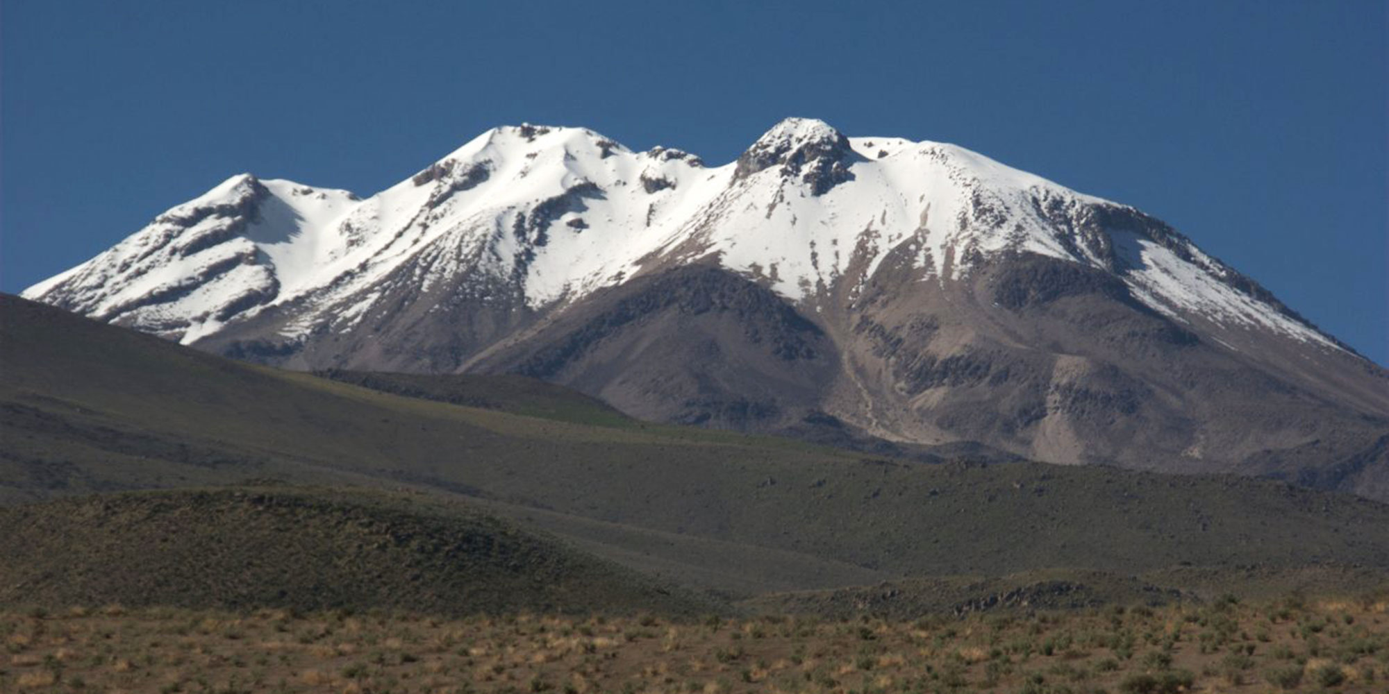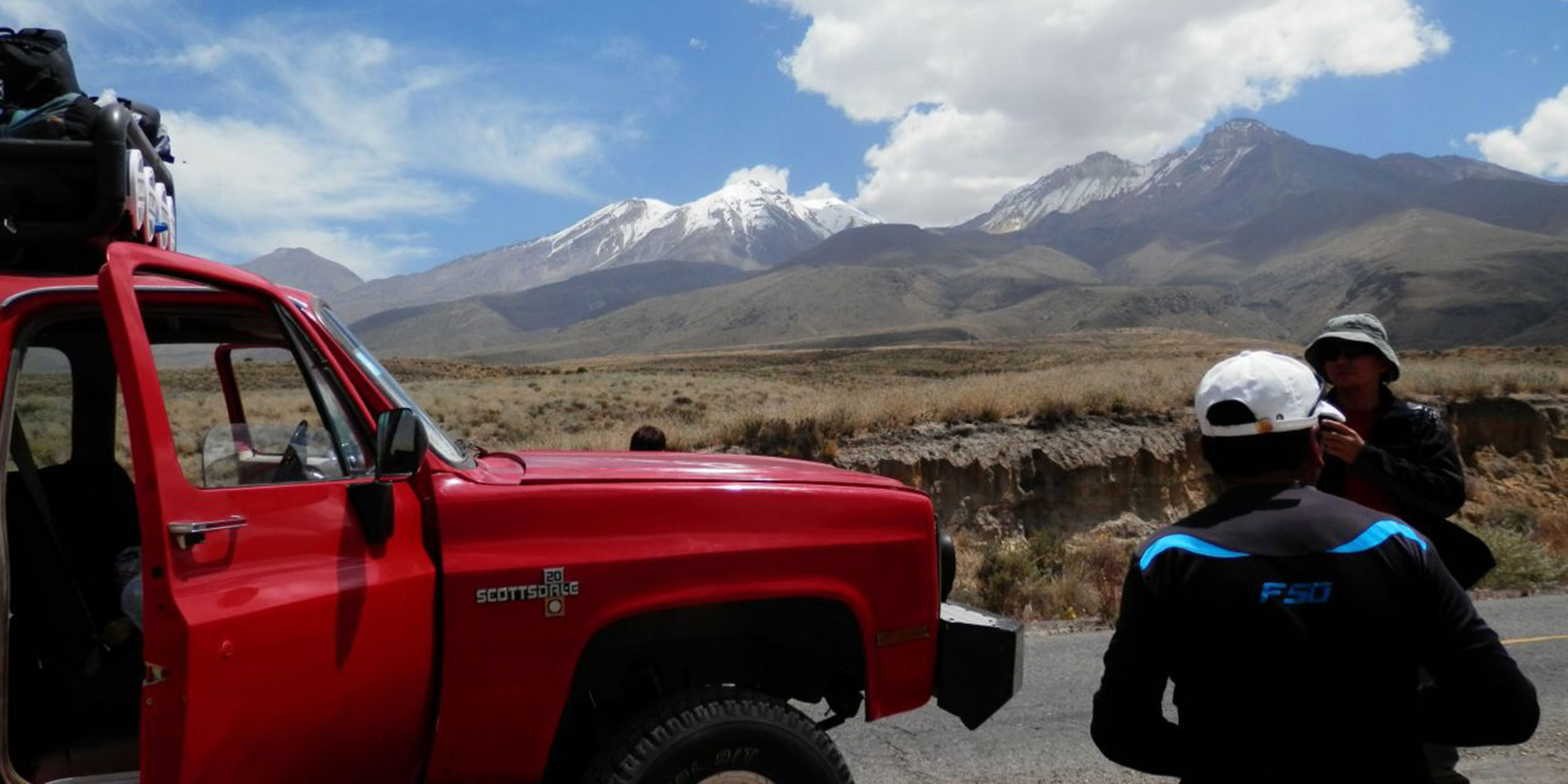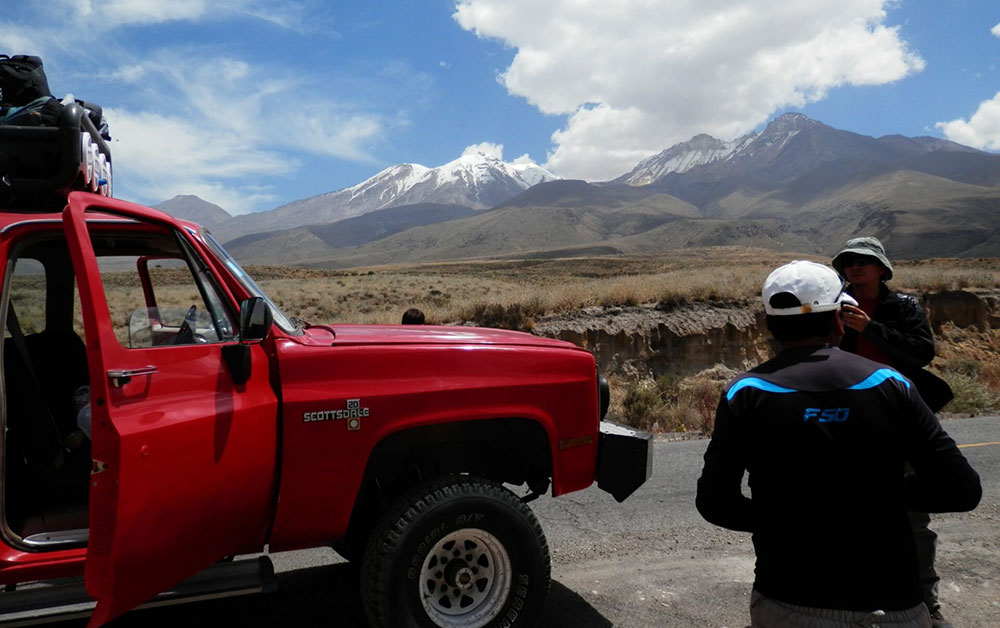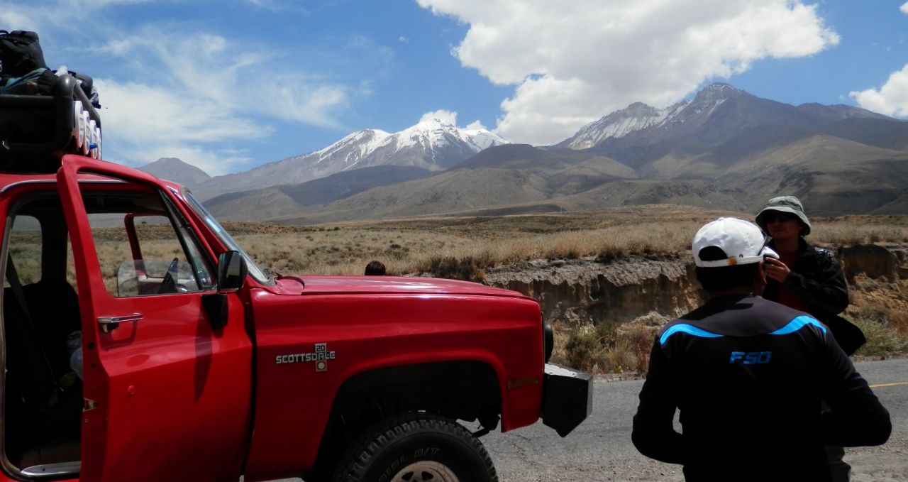
It’s a 3-4 hour drive from Arequipa to the start of the walk up this new route. The first hour is on tarmac, and then onto a dirt road, some of which has been especially constructed for this trek.
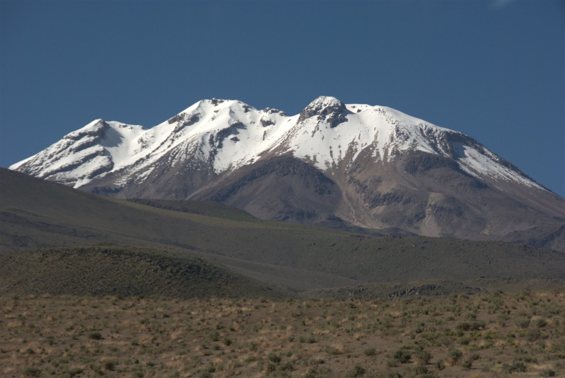
The drive can be bumpy, but the views over nearby Misti and the chance to spot vicunas, as well as the chance to stop and take great pictures of Chachani and over Arequipa.
The car stops at the end of the road at 5,000m/16,404ft in a col. From here, after unloading the kit, it’s a 1-2 hour hike to the basecamp, called Campo Inca (Inca Camp) at 5,250m/17,224ft, with pit latrines.
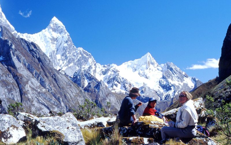
There are great views to Huacullani and Nevada Calcha mountains.
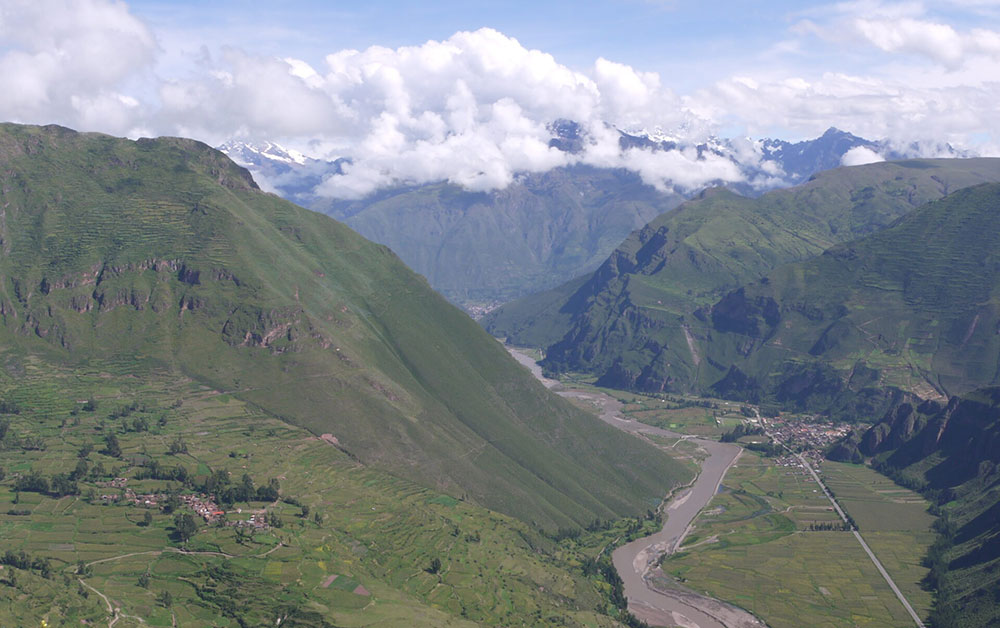
There are a few boulders to navigate, some very easy scrambling, made easier by the lovely views to Ampato, Coropuna and other snow-capped peaks that litter this volcanic area.
After an early dinner, we head to bed early to get ready for the alpine assault on the peak in the night hours.
We wake around 01.00 or 02.00, depending on weather conditions, have something to eat and a warm drink, and then head to the summit of Chachani.
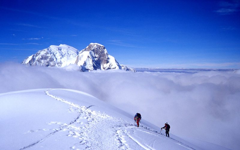
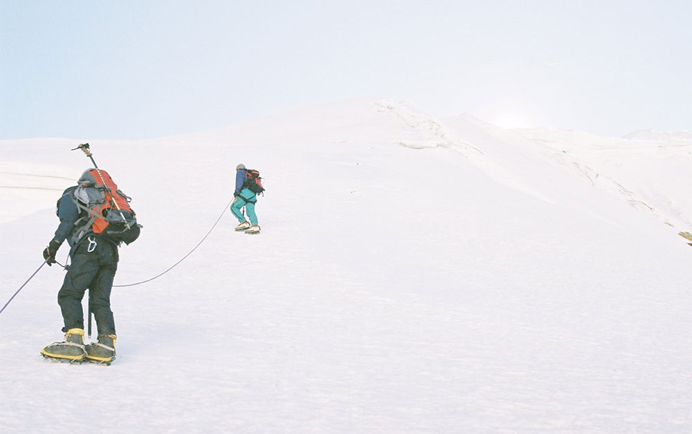
On a clear night the stars are fantastic, and will help light out way up the north side of the mountain. We follow a faint trail, zig-zagging up the sometimes slippery gravel to the summit.
There is nothing technical about the walk, although some sections are steep.
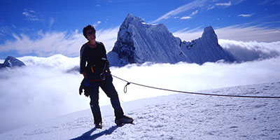
About half-way up the mountain, we should see a lovely change in the sky colour as the sun rises behind the mountain we are climbing.
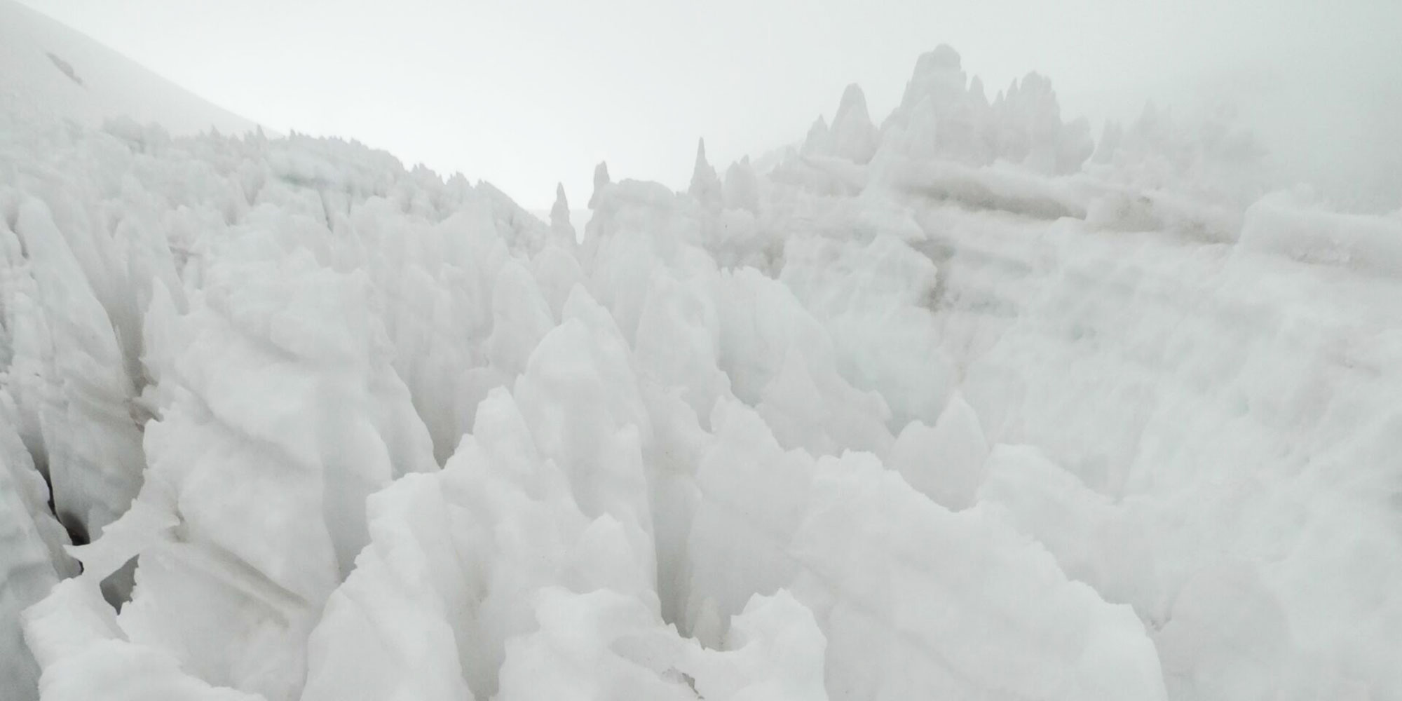
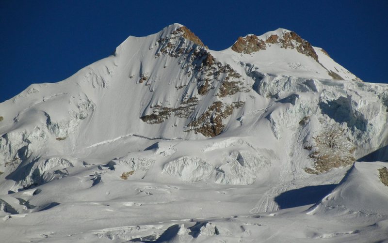
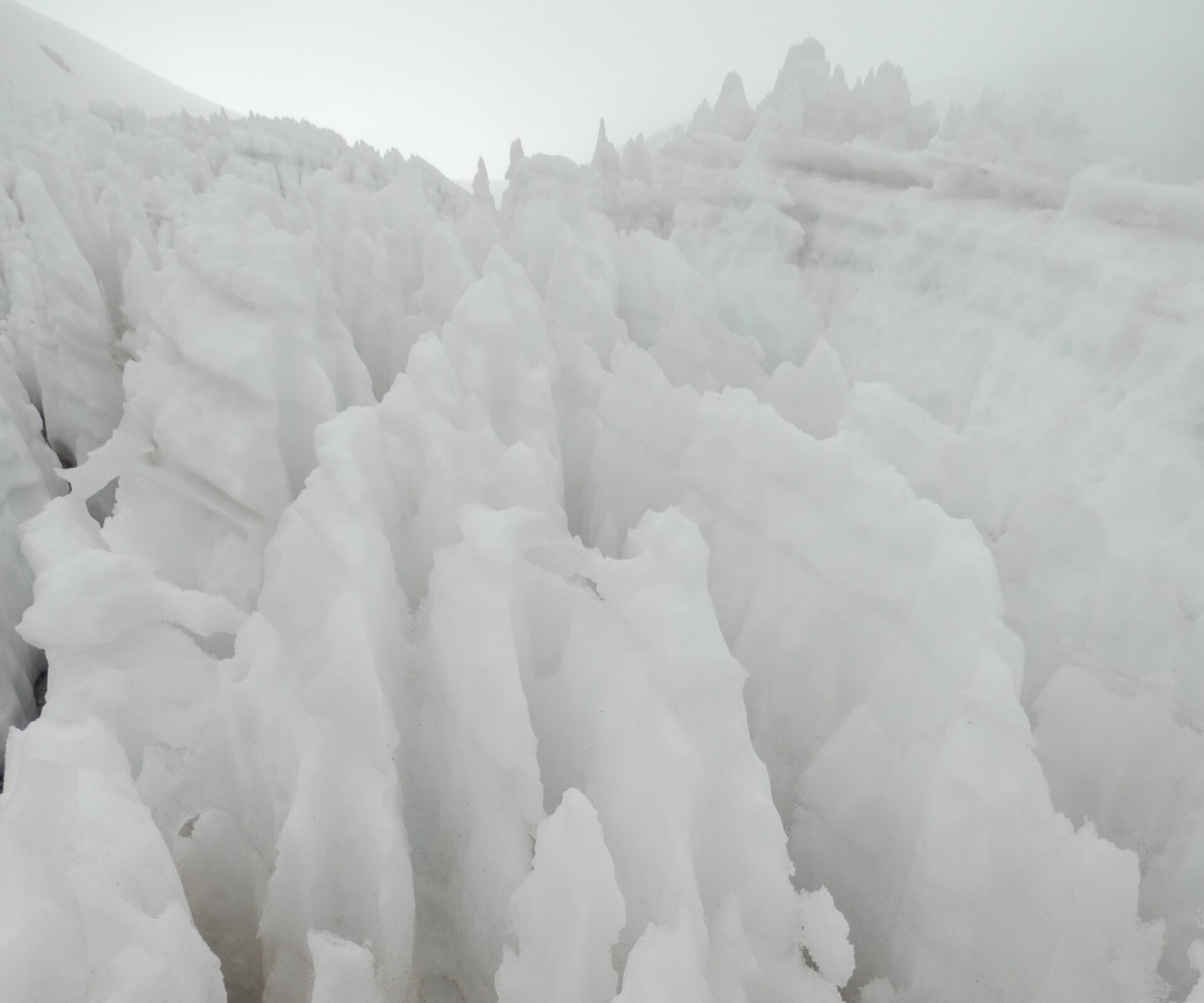
As we near the top of Chachani, we have to cross a small field of penitentes – strange ice and snow formations unique to the Andes – to make the final path to the top.
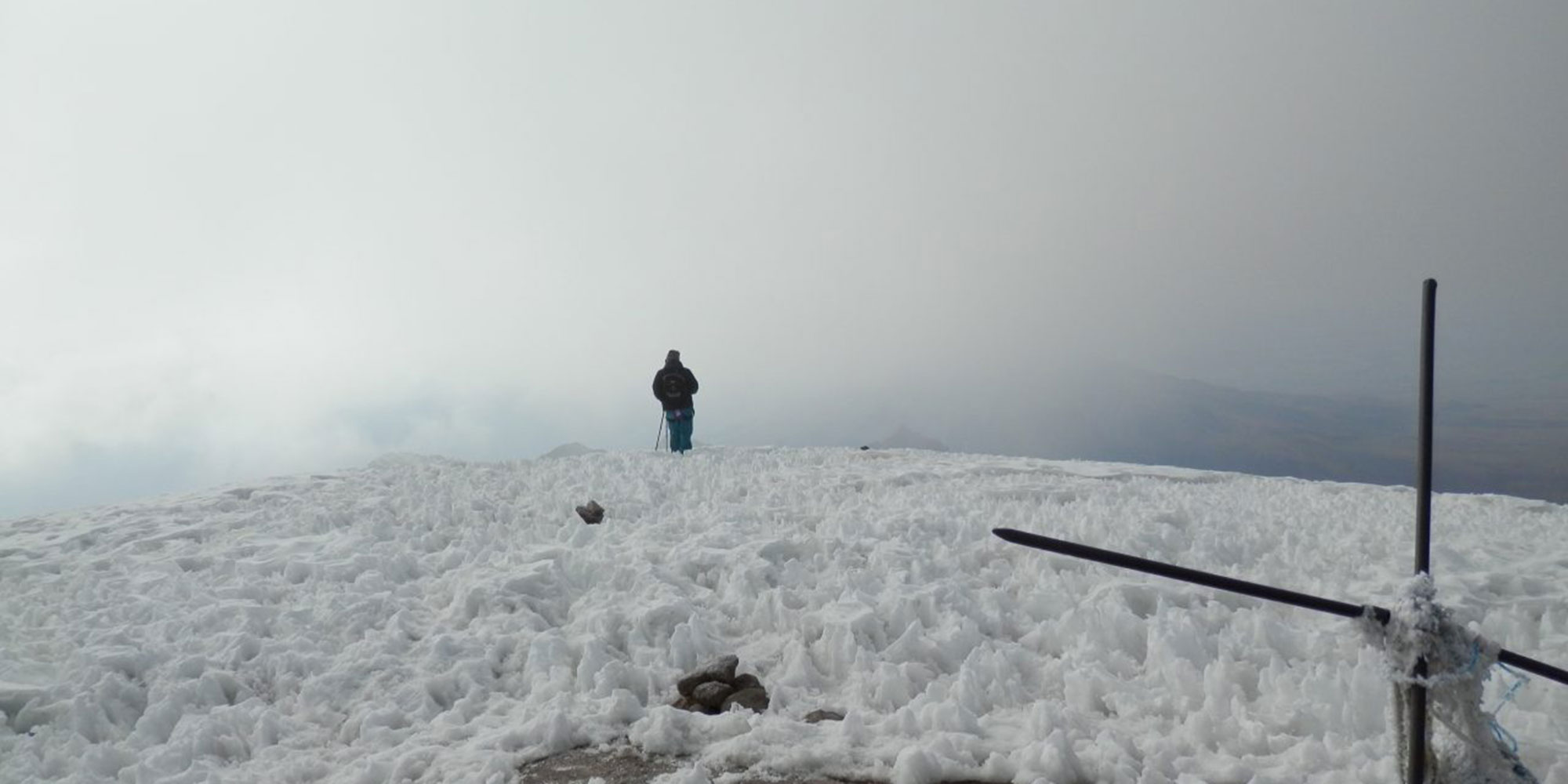
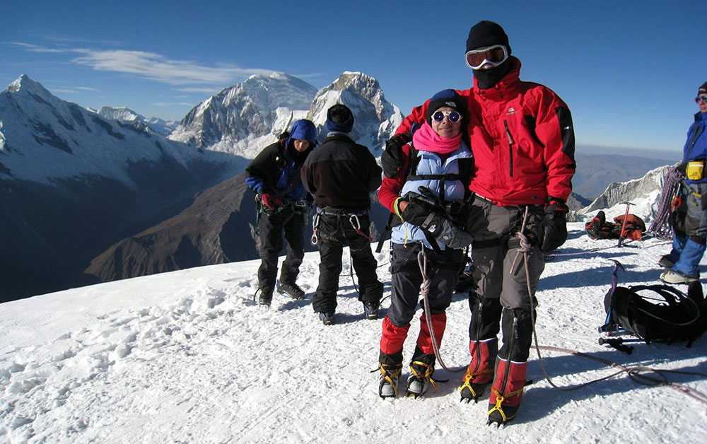
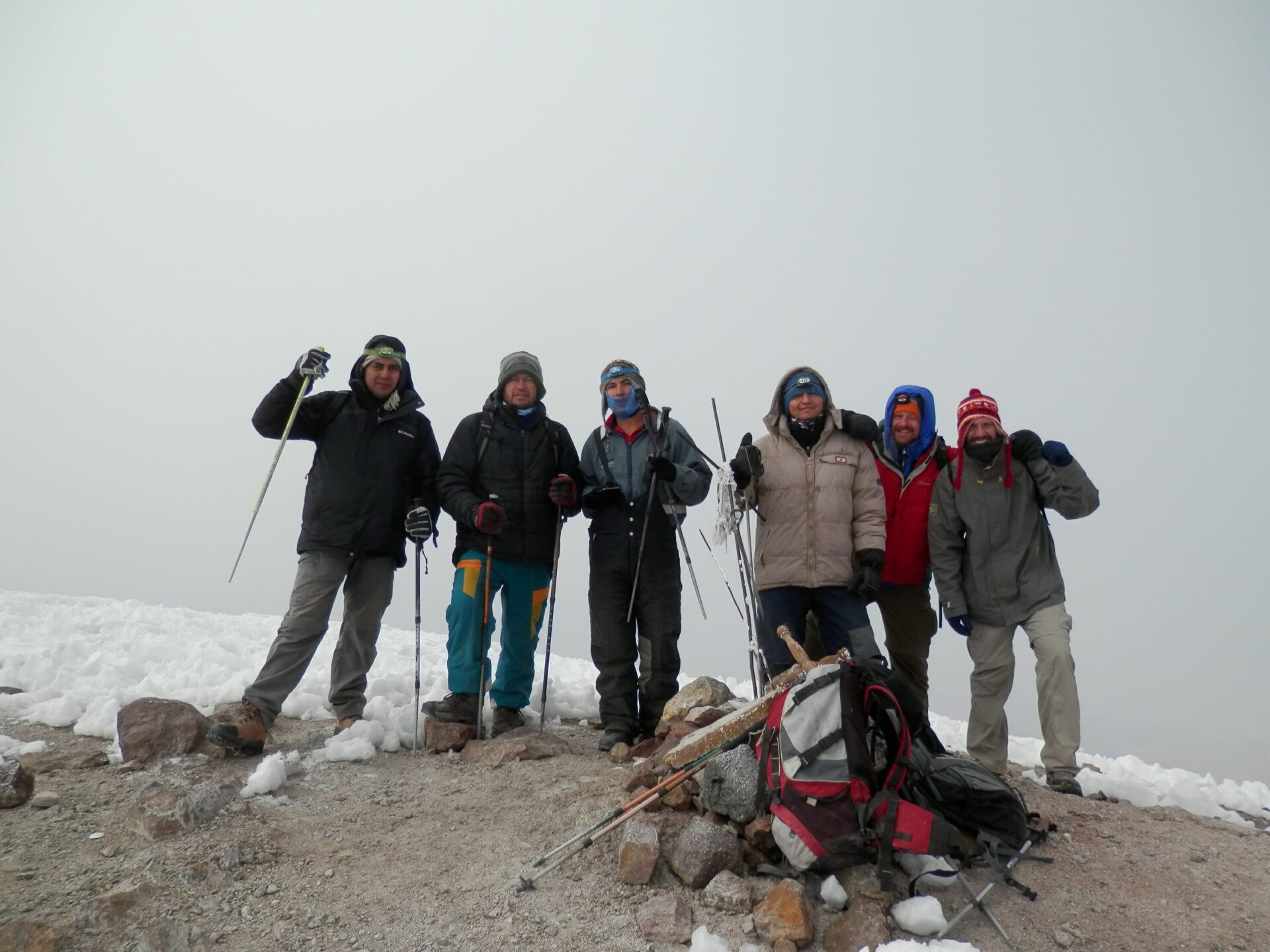
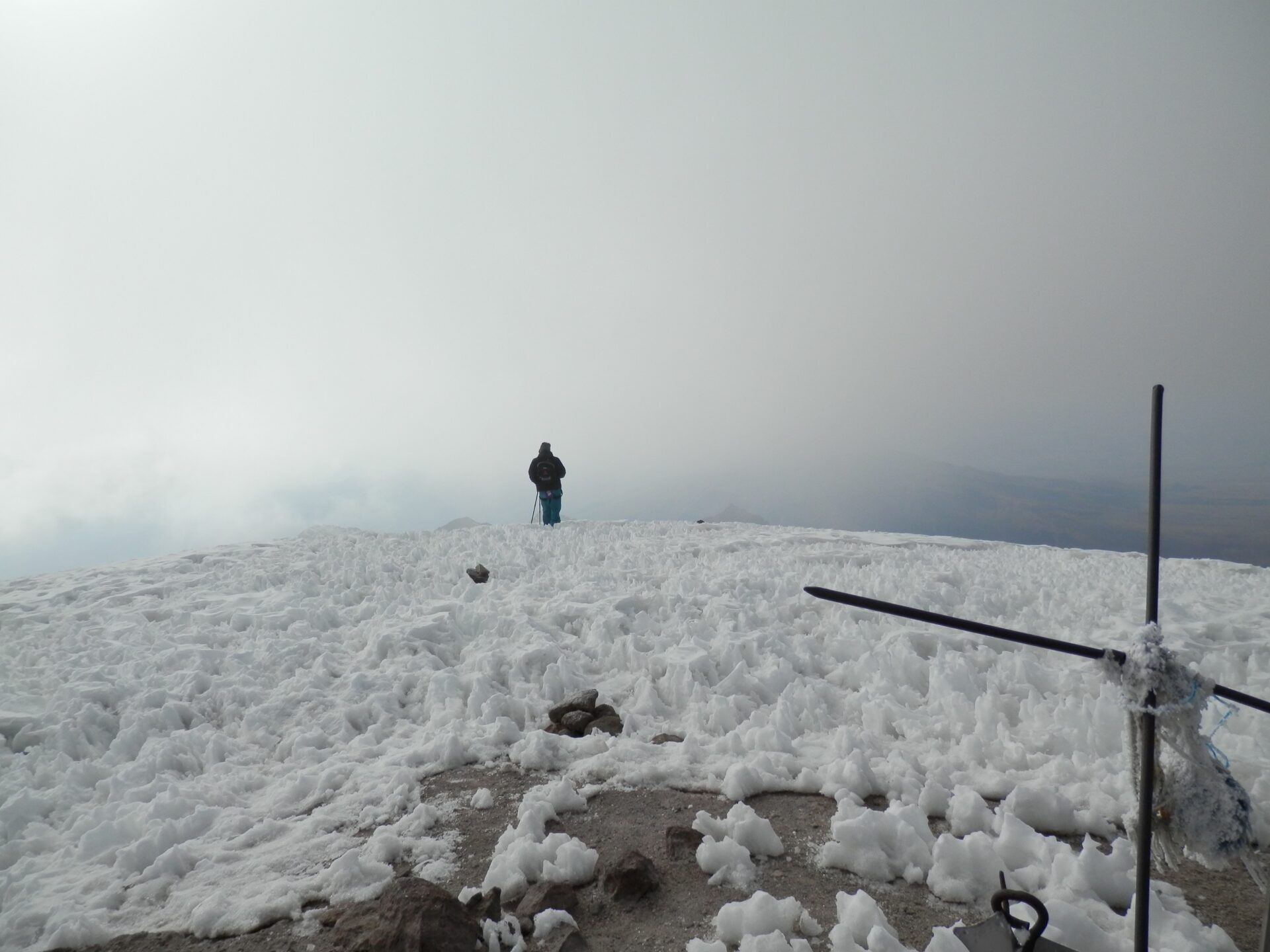
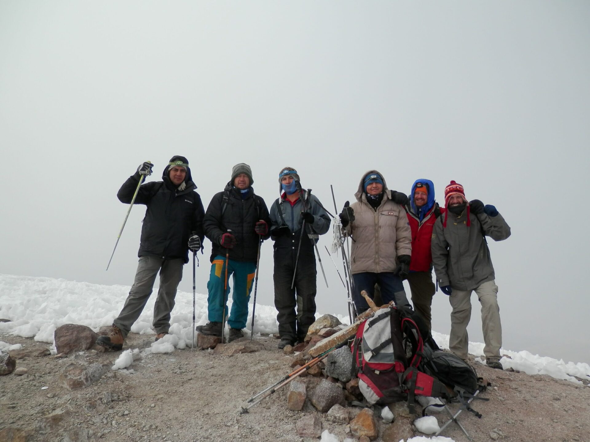
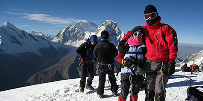
From the summit, marked by several crossed, our 360 view over the ice and snow gives way to views to Misti, Ampato, Coropuna and Arequipa. At 6,075m/19,931ft, we are very high, and have bagged an impressive peak.
We retrace our steps down the north face, using the slippery stones to zoom back to camp for something to eat, packing up, and then driving back to Arequipa.
You will carry your personal items such as clothes, sleeping bag etc. You need to take a backpack for the items you want to carry. This MUST be waterproof – or pack your things inside plastic bags. Keep the weight down as much as possible.
In order to get the most out of the tour you should be in very good physical condition and very well acclimatised to high altitude.
It is preferable to attempt Chachani after a long, high altitude trek such as Huayhuash, or having successfully climbed the nearby Misti volcano.
It is not easy to grade the fitness level required for the trek, since it is a subjective matter.
However, we have classified this trek as strenuous.
Vegetarians and many other dietary requirements are catered for without problems. Please let us know in advance of any requirements you have.
On trekking days you wake early, usually around 06.00. Breakfast is served in a dining tent, and consists of hot drinks, porridge, toast, jams and bread, and your guide will explain the day’s trekking plans. It’s usually cold in the morning mountain air, and, after eating and then packing your backpack, we set off walking, usually for a couple of hours at a time, with breaks to rest.
On summit days, breakfast will be a basic snack as we leave the tents around 01.00-03.00, depending on conditions.
Lunch is usually around 13.00 and can feature soups and pasta, with vegetarian options and hot drinks too. We aim to get to camp about 16.00 on most days, and your tent will be set up for you, although you may be asked to help out if conditions have been bad and the team needs help. It’s hard for gas to burn at high altitudes, so meals tend to be basic.
Dinner is served around 19.30, and will feature pasta, mashed potatoes, rice and/or vegetarian options, followed by hot drinks and a pudding. Most people go to bed fairly early after a long day trekking, to recover energy for the morning, or to be ready for the early summit attempt time, where we leave the tent around midnight to 03.00, depending on conditions.
Local drivers will take you to and from the mountain in private cars, and all logistics are taken care of in Arequipa.
Your guide will be a professional, qualified and English-speaking guide, who knows the route well and how to get you to the summit.
A tough but rewarding Andean trek with superb local support and seamless organisation. An unforgettable adventure despite the long journey from Lima!
A rewarding high-Andes trek filled with challenging climbs, unspoiled scenery, and breathtaking “reach the pass” moments.
Chachani is an impressive Andean volcano, some 20km north of Arequipa. Its ease of access should not lull mountaineers into underestimating its challenge.
It is a high and cold climb and should be tackled only by very acclimatised mountaineers with a guide and support.
Our fully-supported and guided trips are the perfect way to tackle this big peak, as well as some of its neighbours.
From base camp there are beautiful views over to Ampato and the evening light is wonderful.
It’s an early start in the dark to get the best weather and the best chance of the summit, but worth the effort.
After climbing Chachani, we offer three more climbs of volcanoes in the area.
Ampato, Misti and Coropuna – and all are an adventure site for climbers and walkers and offer great views from the summit.
The dry season (April-November) is the best time to scale Chachani and the other volcanoes.
From: $1800 per person
Duration
6 days

Peru is made up of 3 distinct geographical areas: the coast, the mountains and the jungle.
The costa or coastal region is a narrow ribbon of desert 2,250 km long, crossed by fertile river valleys flowing from the Andes. It takes up 11% of the country and holds more than 40% of the population.
The cold Humboldt current gives rise to a blanket of mist – the garua – which hangs above coastal cities like the capital Lima from May to November.
Heading east, you’re soon climbing above the garua and into the Andes. The sierra, or mountainous region, covers some 25% of Peru’s territory and contains 50% of the population. The sierra inhabitants are mainly Indigenous or Mestizo, and many still speak Quechua or Aymara.
The sierra contains dozens of 6,000-metre snow peaks and volcanoes, including Huascaran (6,768m) the highest mountain in the tropics. The deep valley basins contain most of the towns and arable land; the terracing and canal systems of the Incas and pre-Incas are often still used today.
The eastern Andes are heavily forested up to 3,350m and sweep down into the Amazon Basin.
Peru’s selva or jungle makes up almost two thirds of the country’s area, but holds only about 6% of the population: the only towns with significant populations are Iquitos and Pucallpa.
Peru is the perfect holiday destination for adventure travellers that want an amazing variety of activity, geography and cultural travel experiences.
The breadth of travel experiences in Peru is breathtaking – from trekking in the Andes to Machu Picchu to the tropical jungle of the Amazon, and plenty in between.
The people of Peru make it a special destination too, with its colourful and traditional street life and friendly locals.
Good kit is vital for every trip.
Book with Andean Trails and get 15% off Páramo’s fantastic ethical and high performance outdoor gear.
When planning for the extreme climatic conditions encountered on high peaks in the Andes, layering is the most practical and versatile clothing system. It’s worth remembering that our clothing keeps us warm by retaining and isolating the heat we ourselves create.
To best maintain body heat, several layers of lightweight, warm and quick-drying clothing are far more efficient than one or two thick layers.
Layers should have the following qualities:
First (base) layer: This layer wicks the sweat away from our skin, thus helping keep the body dry and warm. To this end, synthetic fabrics such as polypropylene should be used.
Mid layers: These isolating layers should also be synthetic (e.g. the known polar linings such as polartec or windblock, which are light and insulate twice as well as wool). Very important layers for retaining body heat.
Outer layer / shell: Finally, the vital layer which protects us from climatic adversities. A breathable, wind-proof and waterproof anorak, such as Goretex.
Note that it’s our extremities that stand to suffer the most, and on high Andean peaks the poorly-equipped mountaineer is at risk of becoming frostbitten. Hence, much thought should be given to deciding how best to protect hands, feet and head.
Give plenty of thought to kit selection, and try to keep weight down.
Below is a more detailed guide.
For the extreme cold, we recommend a 3-layer scheme:
All other non-personal trekking and camping equipment is provided, e.g. tents, cutlery etc.
You can also read about the weather of Peru in our blog.
You can also read about the weather of Peru in our blog.
Peru is located in the southern tropics (latitudes 0º to 18º), but climate varies significantly according to season, altitude and region.
From May to October, Lima is often overcast, but with minimal precipitation. There are sunny spells, and it’s a fresh to pleasant 13-20ºC.
At the same time, inland areas and the north coast mid to high 20’s ºC.
November to April is generally warm and sunny and Lima enjoys warm temperature of 19-25ºC, with the coast averaging 22-30ºC.
Climate depends largely on altitude. As a rule of thumb, below 2,000m climate is mild and above 2,000m warm clothing is required for evenings, nights and early mornings.
The Andean sun is very strong.
Cusco (3,300m): Average max/min temps: 22ºC /2ºC. Average 3 or 4 wet days per month.
Arequipa (2,380m): Average max/min temps: 26ºC /9ºC. Sunny more than 340 days/year with minimal precipitation.
On highland treks: Conditions are generally dry. However, at this time of year, expect a range of conditions within a single day: cold/freezing nights at camps above 4,000m, where pre-dawn temperatures can be -5ºC; warm, spring-like mornings and afternoons; and cold evenings.
Note that mountain weather can be fickle and localised, and that precipitation is not unknown in the dry season. Expect temperatures to swing between sun and shade, sheltered and exposed ground and with altitude gain and loss. A quick-setting sun means temperatures drop fast.
In the cloud forest, e.g. around Machu Picchu, daytime conditions are generally warm or hot, and evenings cool.
Cusco: Average max/min temps: 23ºC /6ºC. Average 13 wet days per month.
Arequipa: Average max/min temps: 25ºC /14ºC.
On highland treks: Wetter conditions, with cooler days and milder nights than dry season. Jan-Mar usually the wettest months.
Year-round, weather conditions are hot and humid and there is always the risk of rain.
There is a ‘dry season’ in Tambopata and Manu between May and October. The average daytime high temperature is between 25°C and 34°C and the average nighttime low is between 16°C and 22°C. Heavy downpours typically occur every few days.
Around 80% of annual average rainfall – approx 2,000 mm in Manu and Tambopata and 1,400 mm in Iquitos – occurs in the wet season Nov-April.
On rare occasions, between May and September, cold fronts from Argentina – ‘friajes’ – can sweep into southwest Amazonia and push temperatures down to 9°C. (Friajes usually last between 1 and 3 days).
A tough but rewarding Andean trek with superb local support and seamless organisation. An unforgettable adventure despite the long journey from Lima!
A rewarding high-Andes trek filled with challenging climbs, unspoiled scenery, and breathtaking “reach the pass” moments.