From: £1,109
From: $1,476
We recommend you spend at least one night in Salento immediately before the trek.
The easiest way to access Salento is by flying to Pereira and then taking a taxi or transfer to Salento.
You will spend the day previous to the trek in Salento (2,600m / 8,530ft).
Salento, one of the oldest coffee towns in the region, is a brightly painted and fun town which acts as the gateway to Las Nevadas mountain range (central Cordillera).
Tourism, coffee and artisanal products are the staples of this small town, founded in 1842 on the old trading paths used by Pijao and Quindio Indians.
‘Calle Real’ (also known as Carrera 6) features many brightly coloured buildings and balconies in a colonial style, where locals mix with the visitors.
Trekking-clad tourists brush shoulders with local farmers who stroll around in their ‘Aguandeñan’ hats (predecessor to the Panama hat), wellington boots, machetes, moustaches and customary poncho folded over their shoulders.
There are many restaurants to choose from, trout the local speciality, as well as coffee farms to visit.
Many coffee farms are small and organic and approved by Rainforest Alliance, as they use natural ways to grow their coffee plants, rather than chemicals to enhance crops.
The coffee is fantastic and you can buy beans or ground coffee to take home. Read more about what to do in Salento.
At 6:30am transfer from your hotel to El Cedral (1hr 45mins).
El Cedral is located at 2,100m/6,889ft and here we start walking.
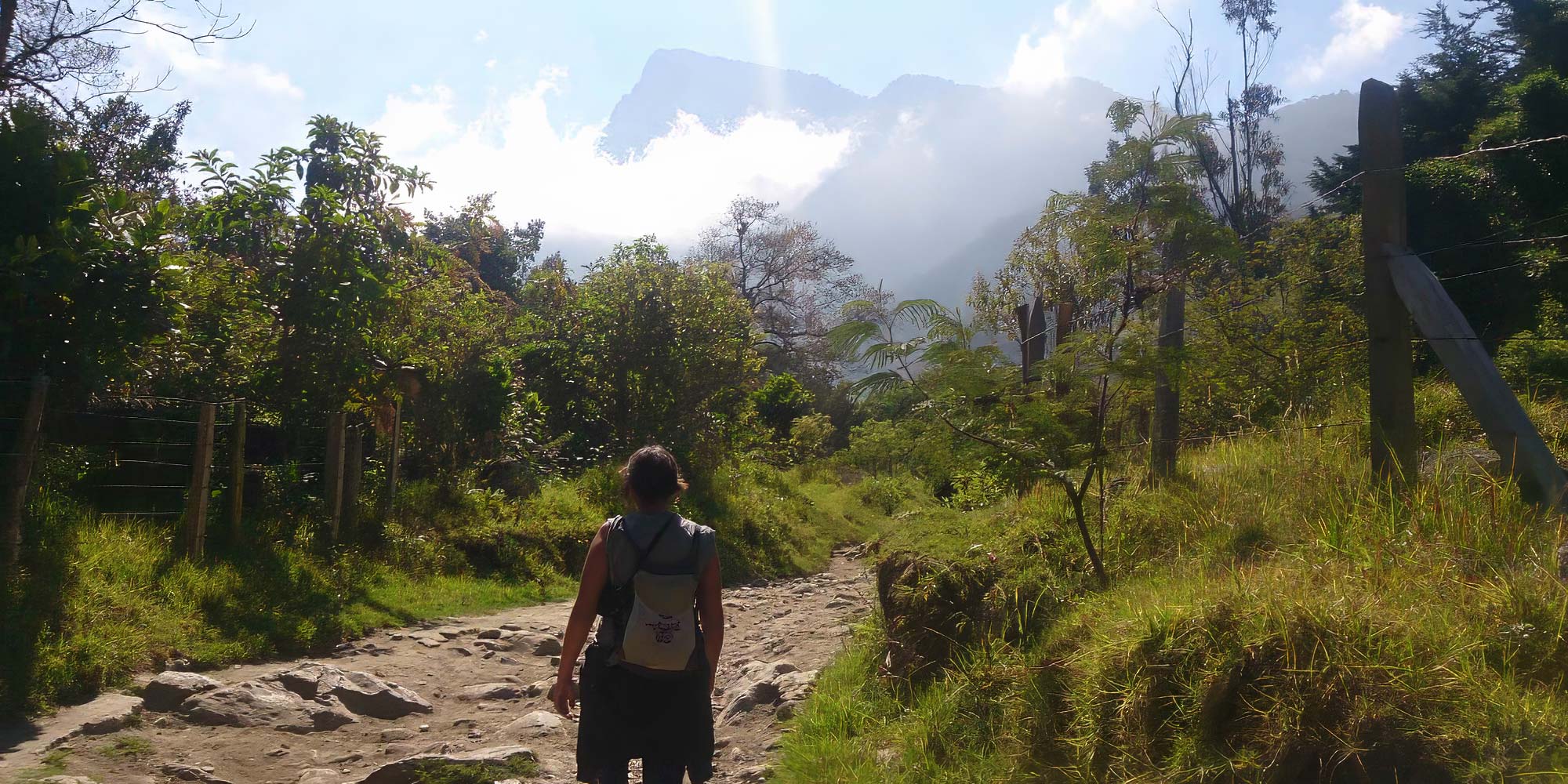
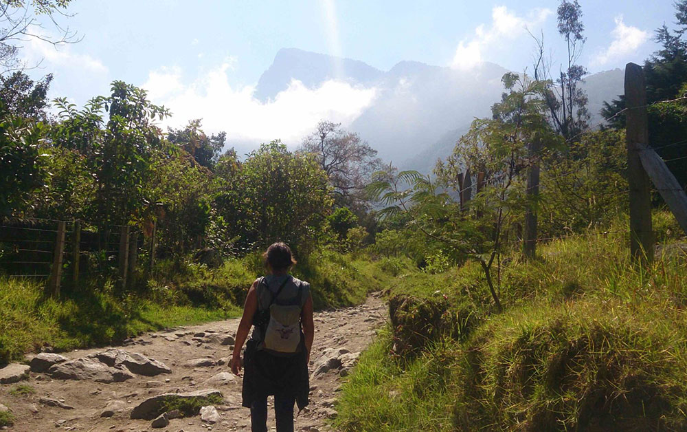
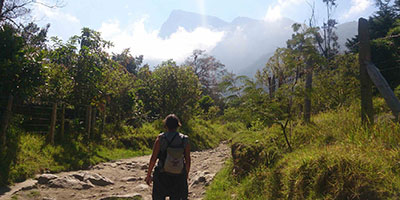
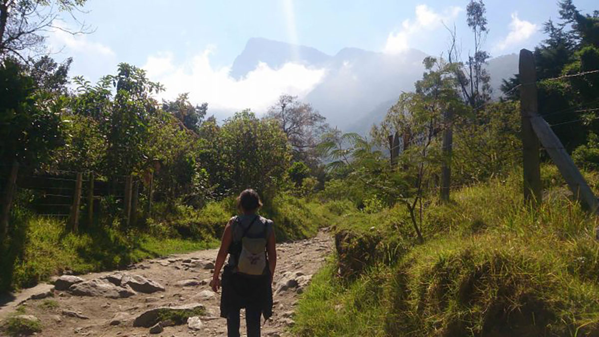
We begin our trail up to La Pastora refuge, situated in Ucumari Natural Regional Park. Today we’ll be walking alongside the River Otun, one of the best-preserved river basins in South America.
We have to ascend around 300m in total today to reach La Pastora (2,450m/8,038ft), which we aim to get to by lunch time.
We begin our walk through excellently conserved cloud forest and make our way along this jungle trail. We cross from the Boquia river basin into the legendary Otun basin, one of the best-preserved river basins in Latin America.
A steep ascent is followed by a descent as we make our way across valleys to eventually drop down to around 2,300m into the Regional Natural Park Ucumari.
Our destination is La Pastora, located at the end of a largely deforested valley surrounded on all sides by forest-clad cliffs. Views are stunning.
Cabins await, along with a log fire. A hearty dinner makes for a good night’s sleep before the next day’s big climb.
Highest point: 2,450m/8,038ft
Starting altitude: 2,100m/6,889ft
Finishing altitude: 2,450m/8,038ft
Height gained: 350m/1,148ft

It’s a big day today as we aim to get further up the valley and to some higher climes.
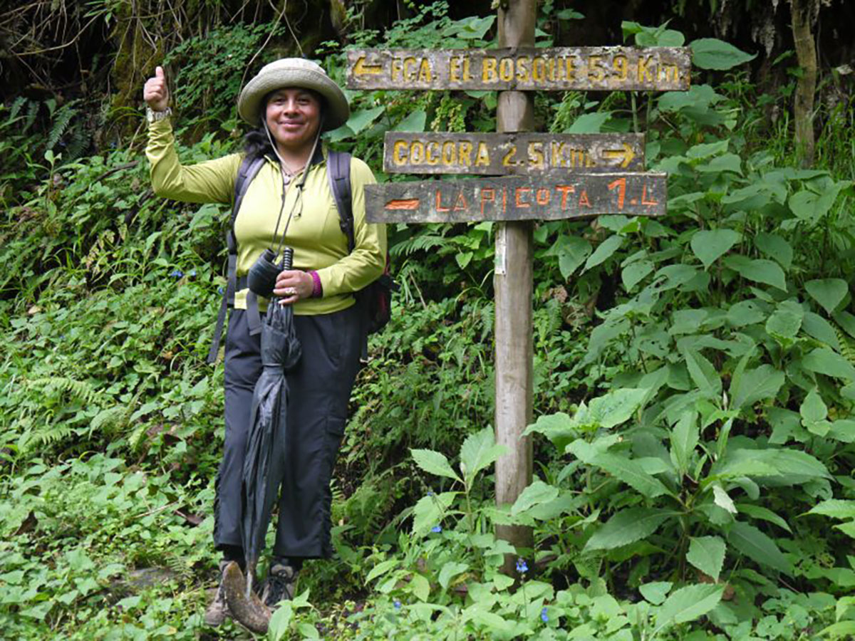
We start early for our ascent to the village of El Bosque, further along the River Otun valley.
The walk will last 6–7 hours with 1,125m of ascent over 9km, very similar to a big Munro day. This day will be a journey through ecosystems and the experience never fails to amaze.
A steady climb will take us to 3,000m where walls of high-Andean forest and waterfalls surround us before the real upward hiking begins. We walk up and along a 600m high ‘white-stair’ of rocks that never seems to end.
The air starts to become thin and elfin forest begins to appear, as do Jersey cows and thick mist.
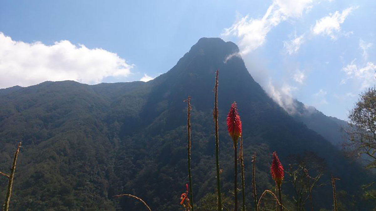
On a clear day entering the village of El Bosque is an emotional sight.
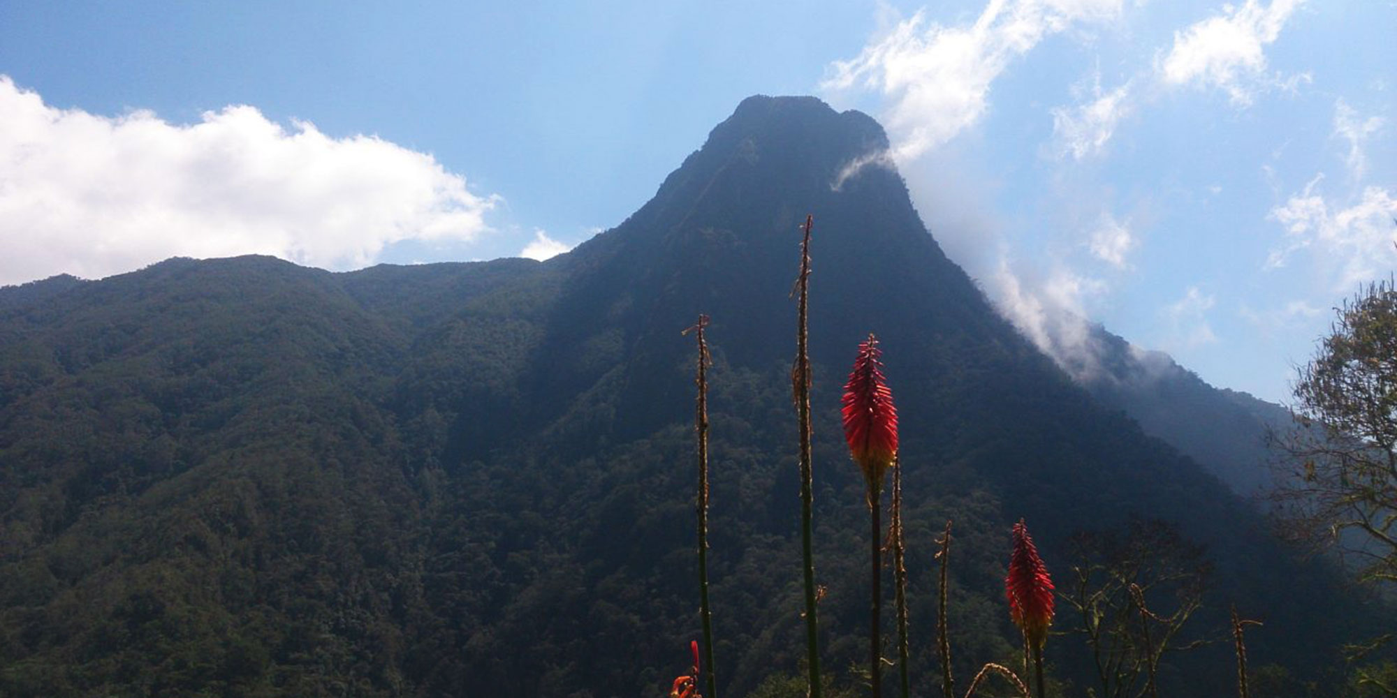
It’s not only because of the view of the camp and the signal that the climb is over, but also because this perfect horseshoe caldera is one of PNN Los Nevado’s most beautiful locations.
Condors and Paramo eagles can be seen hovering on the thermals.
After a rest, we can visit the local farm and chat to the locals in El Bosque village. As dusk approaches, there is the option to scout for Mountain Tapir or the endemic Rufous-fronted Parakeet.
Highest point: 3,600m/11,811ft
Starting altitude: 2,450m/8,038ft
Finishing altitude: 3,600m/11,811ft
Height gained: 1,125m/3,691ft
Following the exertions of yesterday, today is a shorter day.
We take a leisurely breakfast and then it’s a later start to begin the trek to El Berlin valley.
We’ll be at 3,819m/12,530ft by the end of the day. It should take 3–4 hours to walk the 5–6km up to this higher level.
We hope to get to Berlin farm for lunch and then have the afternoon free to explore the valley, or take it easy as the body adjusts to these higher levels.
Highest point: 3,819m/12,530ft
Starting altitude: 3,600m/11,811ft
Finishing altitude: 3,819m/12,530ft
Height gained: 219m/719ft
Today we hit our highest point as we go over a pass of 4,170m/13,681ft, the Alto de la Amargura – ‘High Point of Bitterness’ – a fitting name for this mountain pass that can be pounded by biting winds.
We’ll walk for 5–6 hours to go up and over the pass and then down to La Argentina farm, which is situated at 3,476m/11,404ft. Dona Gloria is the lovely host here.
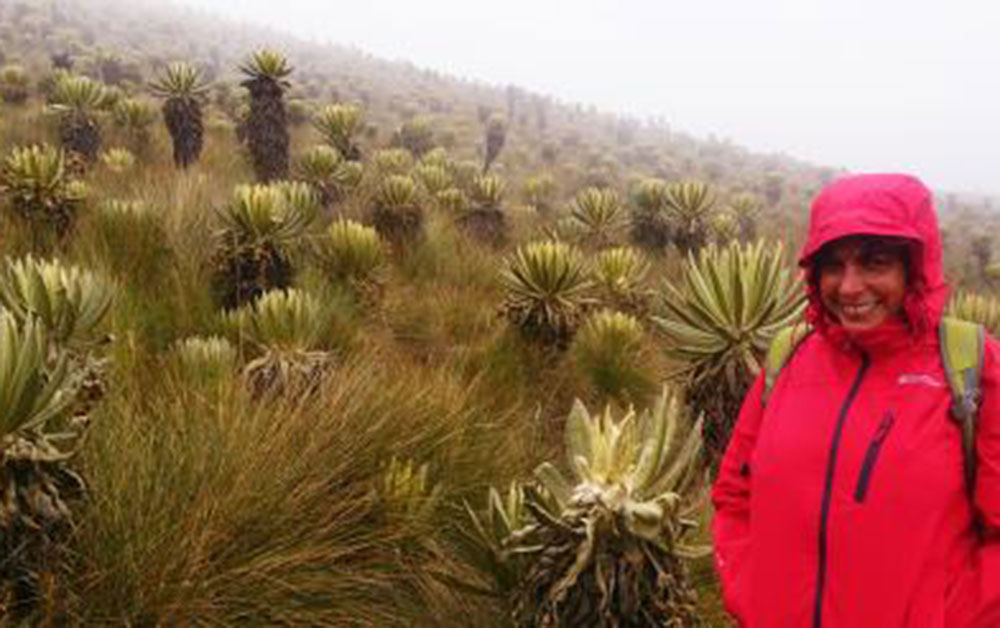
There are various stops so we can look at the frailejones plants in this area, as well as more sub-paramo flora.
With good weather there are some excellent lookout points over the high Andean basin of the River Cardenas.
Time in the afternoon to explore local surroundings and other trails that head deep into the forest.
Highest point: 4,170m/13,681ft
Starting altitude: 3,819m/12,530ft
Finishing altitude: 3,476m/11,404ft
Height gained: 351m/1,152ft
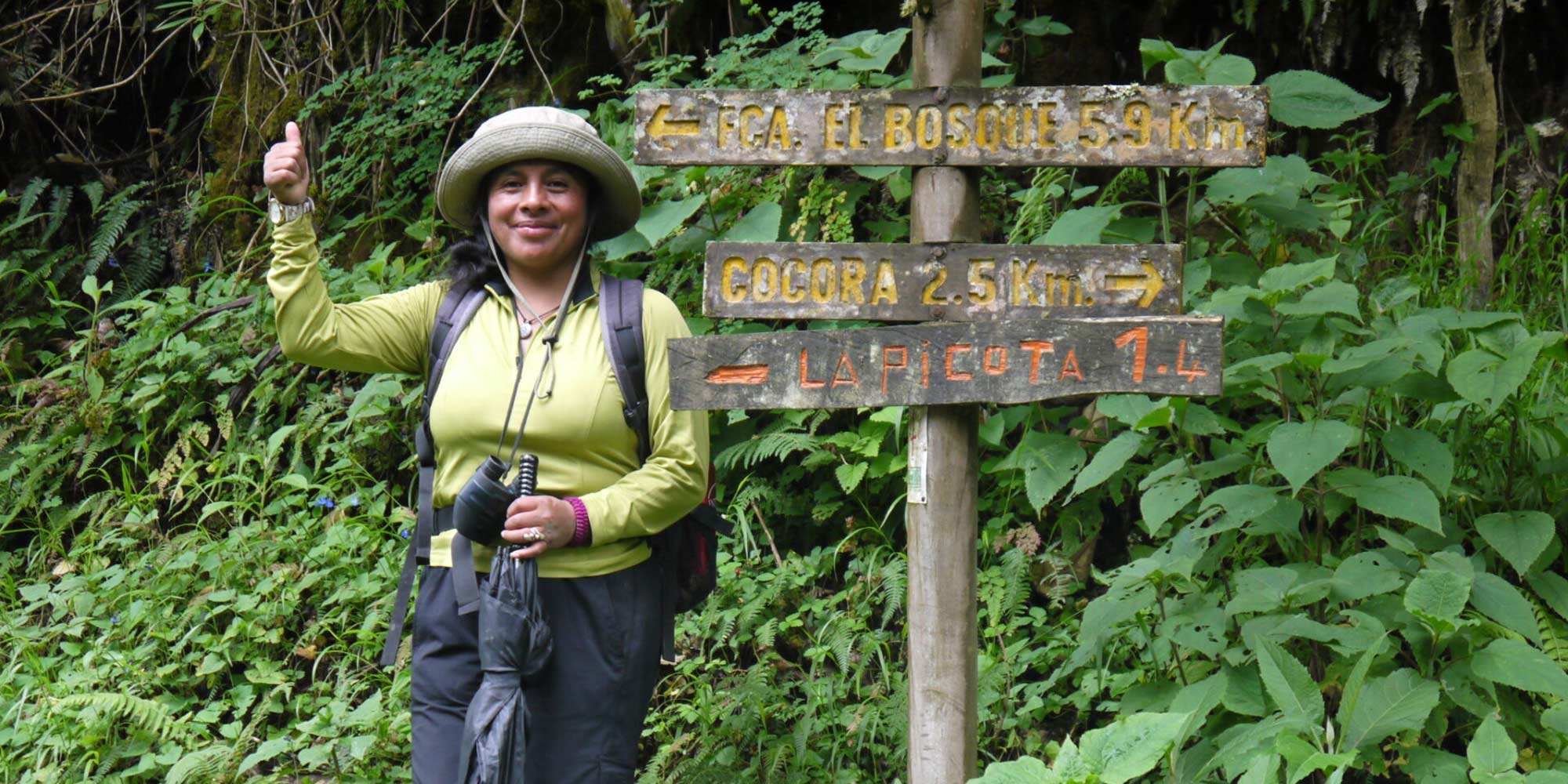
We bid a fond farewell to Dona Gloria at La Argentina finca, and start a lovely descent down to Cocora Valley.
First we skirt the mountains and farmlands before plunging down into the cloud forest. You’ll feel how quickly we go from the crisp air into the warmer valley, seeing different trees, foliage and animals as we descend.
Hummingbirds and flowers become more prevalent as the moisture and heat of the sun start to warm our bones.
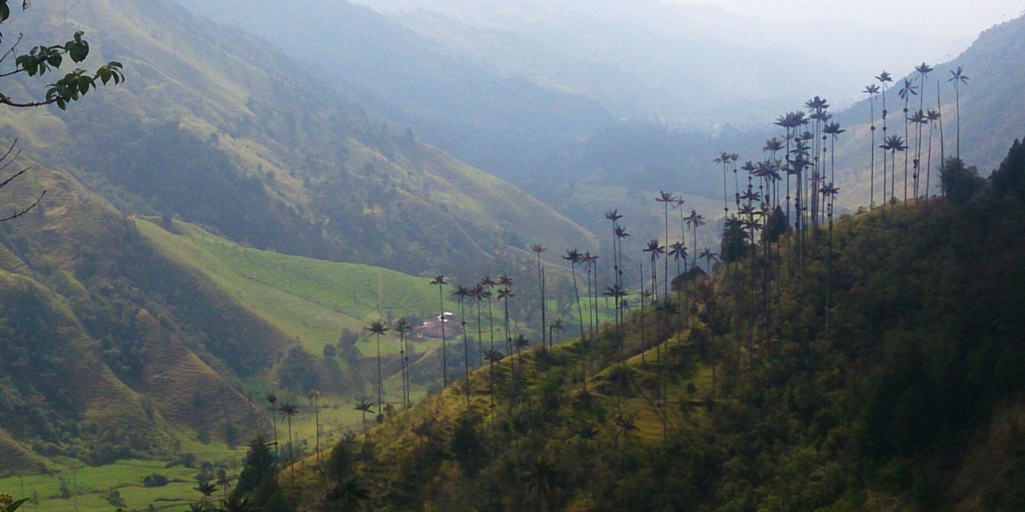
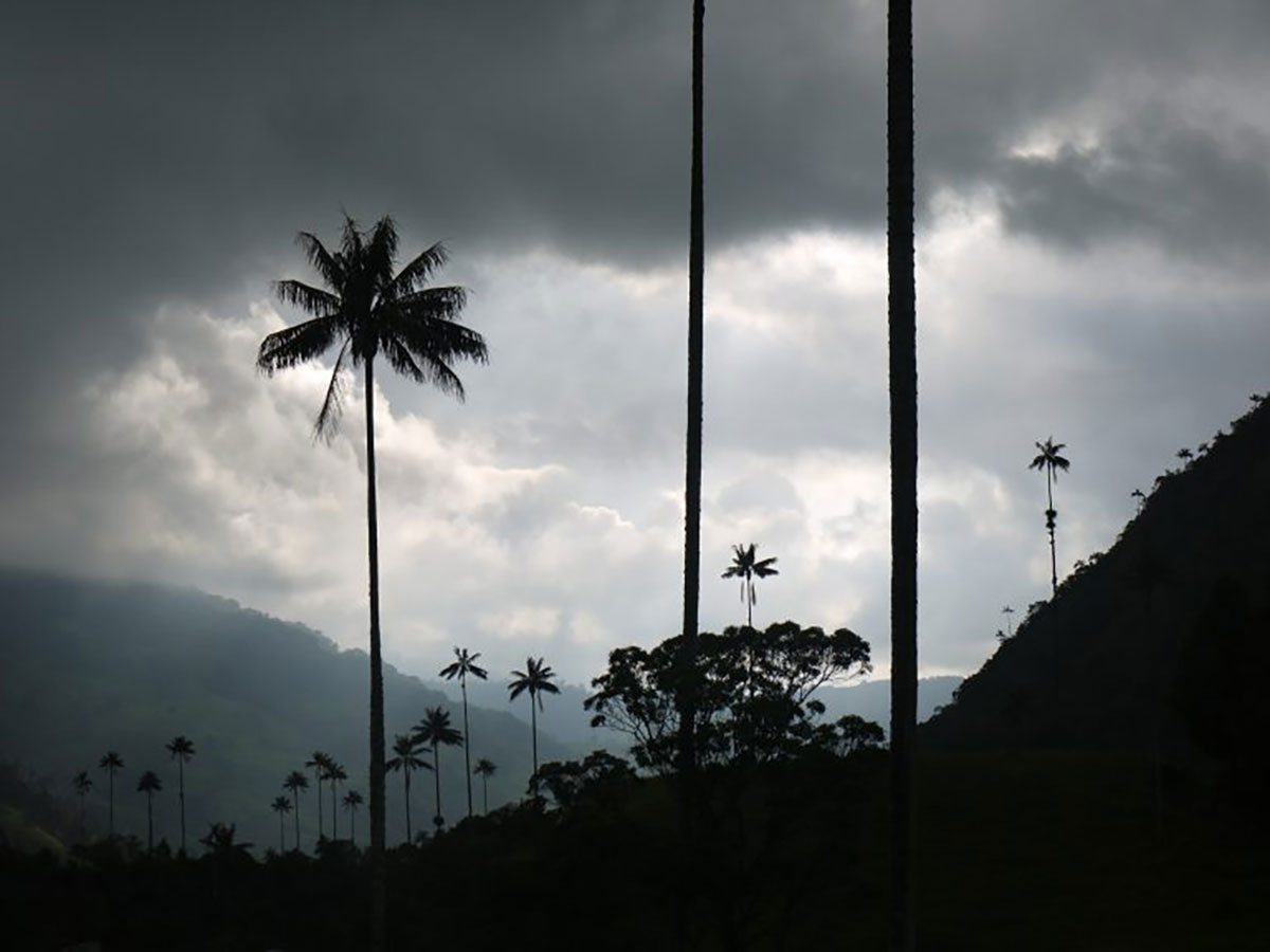
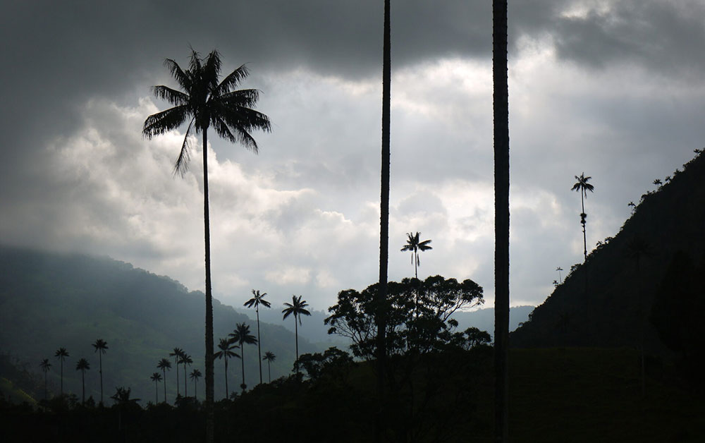
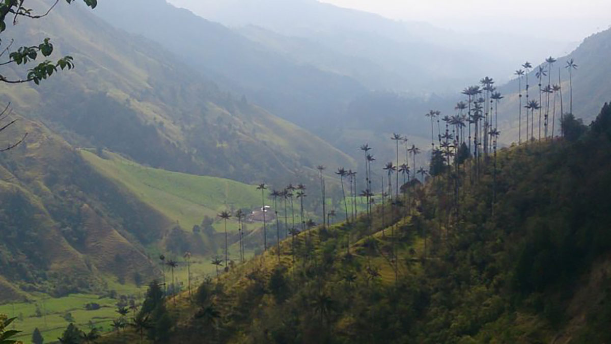
There are some energetic downhills to bound down, until we reach the valley of Cocora and its incredible gigantic wax palm trees.
These giants thrust up to 60 metres from earth to skyline, with some reaching up to 70 metres, making them the tallest palm trees in the world.
They pock the hills and make them incredibly photogenic.
We take lunch in Cocora, jump aboard a Willys Jeep and head back to Salento.
Highest point: 3,476m/11,404ft
Starting altitude: 3,476m/11,404ft
Finishing altitude: 2,100m/6,889ft
Height lost: 1,376m/4,514ft
Local farmhouses will be used for this trek. Houses are farms with basic rooms that have been set aside for people to spend the night in. These rooms are basic with wooden bunks and stiff mattesses. Use of an additional sleeping bag and thermarest will be provided for.
If you wish to camp we can arrange that and we use sites close to the farmhouses. This adds to the price (please ask) because we need more mules to carry the kit.
We have classified this as a moderate trek, and you need to be in good physical shape for it.
You hike 4-7 hours a day on 4 consecutive days, over mountain trails at elevation.
There is a high altitude pass to cross at 4,150m/13,615ft before dropping into lower elevations.
Pre-trip preparation should include challenging cardiovascular exercise (including regular hikes on varied terrain) and a healthy, balanced diet.
Well-worn hiking boots and additional an acclimatisation night or two before the trek are both highly recommended.
All guests are encouraged to hike at their own pace, taking breaks whenever needed, to ensure a successful and enjoyable
Breakfasts will likely be eggs with arepa (typical toasted cornmeal patty) and possibly rice and lentils.
Lunches will either be at farmhouses or boxed lunches, with snacks, prepared at the farmhouses and by our guides.
Dinners will consist of a protein, lentils or frijole beans and rice with potato, possibly in a stew. This will vary from farm to farm, but normally folk are not picky after a hard day’s trek.
Drinking water will be provided using a Steripen UV steriliser though you can bring your own water purification tablets.
A trek leader will be with you (English-speaking) throughout the trek – they are from the area and have trekked the mountains many times.
Your baggage is carried by mules and the mule driver also comes from the local area. The farmhouses/fincas we use to stay in (you can also camp, extra cost) are all run and owned by local families.
A superbly organized journey showcasing Andean Trails’ consistent excellence, reliability, and seamless travel experiences.
A breathtaking Colombian biking journey marked by high-altitude climbs, welcoming people and unforgettable landscapes.
Our 5-day trek through Los Nevados sees you walking in a trekking paradise of cloud forests, humming birds and volcanoes.
As you hike up to the area’s famous Paramo eco-system, you’ll see the incredible frailejones plants dotting the landscape, existing in what can feel like a lost world which very few have seen.
You stay in mountain fincas, welcoming farmhouse type accommodation run by local people clinging on to their traditional lifestyles, away from the relative crowds of Salento and Cocora.

Trek through the amazing landscapes and paramos of Colombia, amidst ecosystems that are unique to the tropical Andes, themselves a real biodiversity hotspot.
We trek over passes of 4,150m/13,615ft and trekking will be mainly done along horse trails, passing by ancient tombs of the indigenous folk who lived here before the farmers arrived.
As we walk on there is the chance to see the snow-capped, active and dramatic Nevado del Ruiz volcano.
We can offer 3, 4, 5-day and longer versions of this hike – see a different side to Colombia.

Colombia is divided into five main geographical regions: Pacific, Llanos, Amazon, Caribbean and Andes.
The Andes dominate and have three main branches, all running roughly from south to north.
The Cordillera Occidental lies furthest to the west, running parallel to the Pacific coast; Furthest east lies The Cordillera Oriental running almost to the whole length of the country and incorporating Bogota; and in between these two, is the Cordillera Central.
Less than 3% of the population live in two lowland areas that comprise more than half of Colombia’s overall size.
The first lies to the east of the Andes called Llanos and is a savannah, and forms a part of the Orinoco river basin.
The second is Colombia’s steamy Amazon rainforest, which lies to the far south east of the country and covers almost one third of the entire country.
In the north is the hot and humid Caribbean coast, characterised by beautiful beaches and turquoise seas as well as fertile and low-lying plains and La Guarija Desert.
Colombia lays claim to two small islands, close to Nicaragua, called San Andres and Providencia, and islands in the Pacific and these are known as the insular area.
The narrow Pacific coastal lowlands are densely covered with vegetation, with very few people living here.
Colombia is the country that has everything you could need from a South America holiday.
Diverse people and landscapes make this a country rich in wildlife, landscapes and culture.
Hikers can choose to trek to glaciers on snow-capped peaks, or through steamy forest to hidden ruins, or to unique Paramó plains.
Cyclists can pedal over and around the Andean peaks that dominate, and adventure seekers can try anything from paragliding to canyoning.
Beach lovers can enjoy surfing and relaxing with a Colombian twist, or head to islands for a more Caribbean vibe.
Prefer wildlife? Try the pacific coast and its whales and turtles, or perhaps the Amazon and its diverse flora and fauna.
The cities are cosmopolitan and cultured, replete with incredible museums with enormous collections.
Good kit is vital for every trip.
In general you’ll need cool clothes for the trekking days if weather is good, and then warmer clothes for nights or inclement weather.
If you choose to camp, then you need to take a sleeping bag/mattress or can hire locally (advance notice required).
Give plenty of thought to kit selection, and try to keep weight down.
Colombia has warm to hot average temperatures all year round.
Cartagena on the Caribbean coast, for example, averages around 325 days of sunshine a year, even during its ‘winter’.
There are, however, two rainy and dry seasons that Colombians call summer and winter.
The severity and length of these seasons also depends on where you are in the country – the coast has slightly more severe and longer dry seasons than the Andean region, for example.
Dec-March and July-early Sept.
On the coast the rainfall stays low during the whole of September.
April to June and October to early December.
Much depends on where you are in the country. Up in the mountains one of the great attractions of Colombia is the fact that within half and hour of travel, either losing or gaining altitude, you can emerge in a totally different climate, substantially hotter and drier, or colder and more humid, depending on where you are.
On mountain treks the temperature will decrease around 6°C for every 1,000 metre (3,300 feet) increase in altitude.
In the Paramo, temperatures average around 5ºC and drop below freezing at nighttime.
Again, variations depend on geography.
A superbly organized journey showcasing Andean Trails’ consistent excellence, reliability, and seamless travel experiences.
A breathtaking Colombian biking journey marked by high-altitude climbs, welcoming people and unforgettable landscapes.