From: £1,878
From: $2,500
Join tour in Lima, hotel
We leave Lima early by public bus for a fascinating journey of contrasts that will end amid the towering high Andes at the small highland city of Huaraz. We head north through the coastal desert as far as Pativilca, then turn inland and begin our climb northeastward into the Andes.
We follow the Fortaleza valley, the fertile cultivated river banks contrasting dramatically with the barren mountain sides. Cacti gradually give way to denser vegetation and then puna grassland as we ascend to the highest point on our journey, Conococha (4,050m/13,287ft).
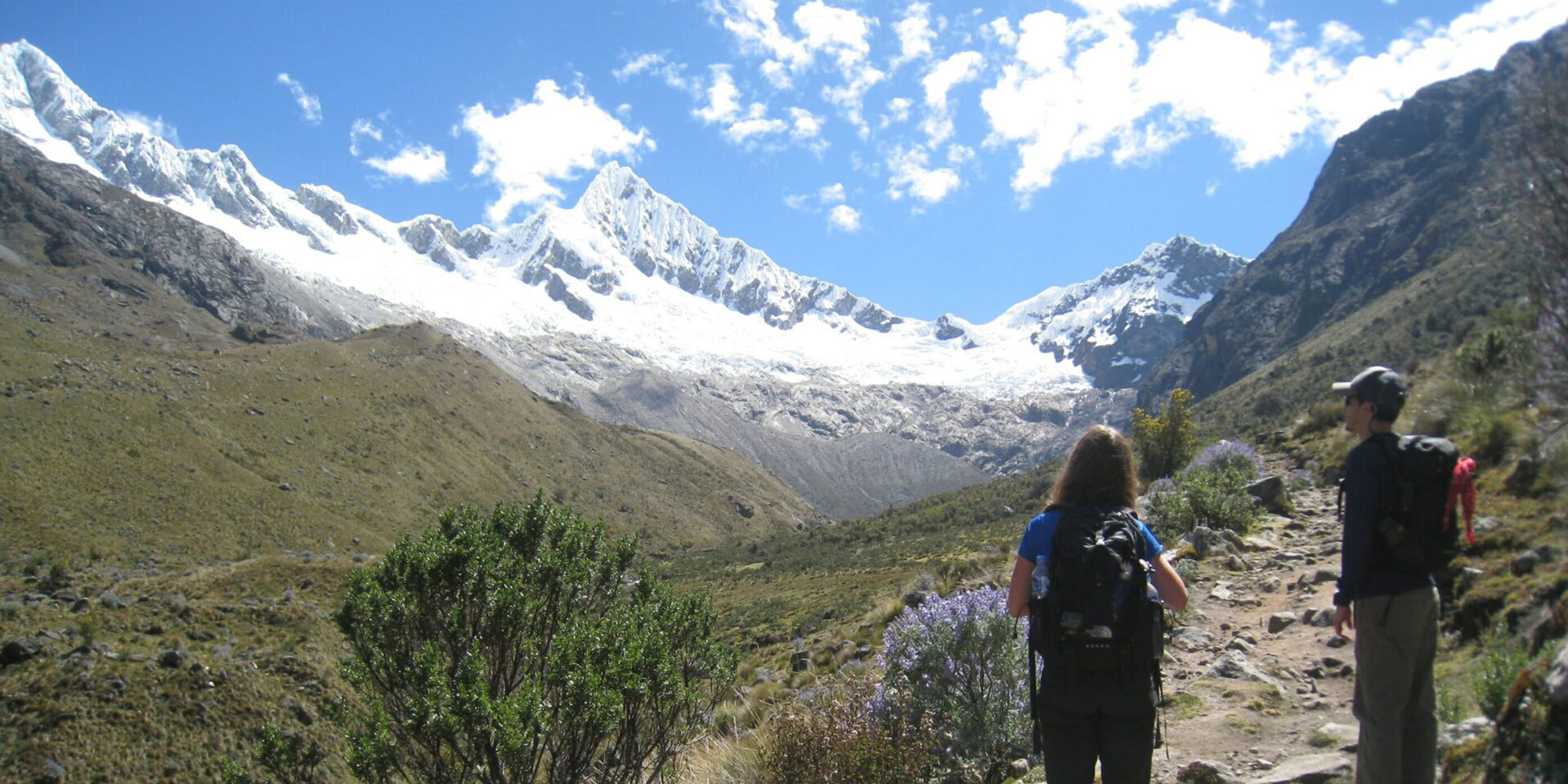
We turn north into the Callejon de Huaylas and enter a different world, the huge snowpeaks of the Cordillera Blanca dominating the landscape.
We arrive in Huaraz (3,090m/10,138ft) late afternoon and check into our hotel.
A bustling town of 80,000 inhabitants, Huaraz lies amid the scenic splendour of the Callejon de Huaylas and is the ideal base from which to explore the region. Callejon de Huaylas is the name given to the Santa valley, which separates the Cordillera Blanca from the Cordillera Negra, and rates as one of the finest areas of South America for its superb mountain panoramas.
The Callejon is bordered to the east by the Cordillera Blanca, the mountain range with the greatest number of peaks over 6,000 metres outside the Himalayas.
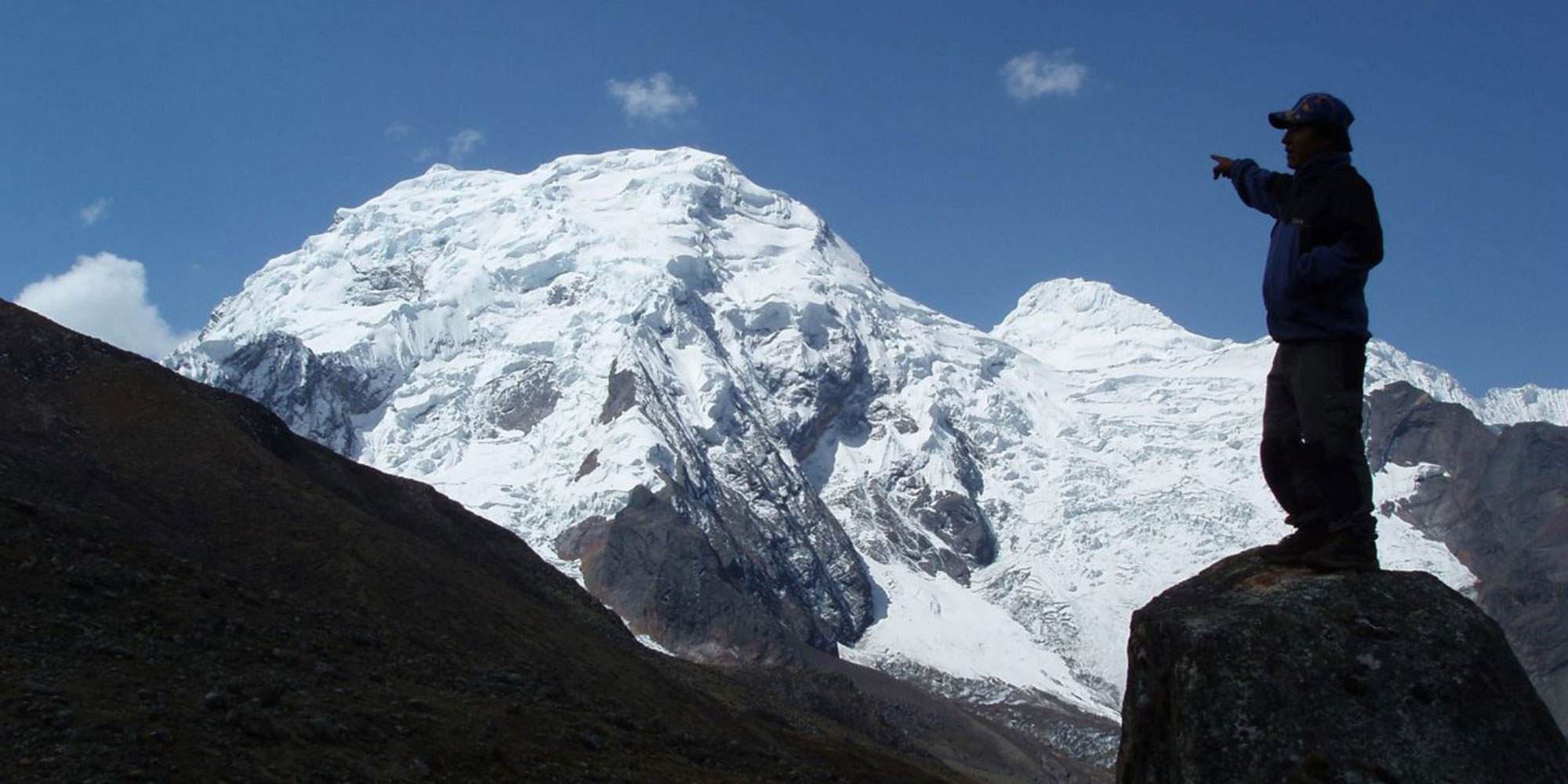
From Huaraz itself one is awestruck by the breathtaking vista of Mounts Vallunaraju (5,686m/18,655ft), Tocllaraju (6,034m/19,797ft) and Ranrapalca (6,162m/20,217ft) towering over the city and, to the north, the gigantic forms of Huascarán (6,768m/22,205ft) and Huandoy (6,395m/20,981ft).
Over the next two days, while acclimatising to the altitude before our trek, we will have the opportunity to discover the wonders of this fascinating region.
Besides its magnificent scenery, the area is renowned for its traditional villages with their lively markets (easily reached by public bus or mountain bike), its thermal springs, and pre-Inca history. One of the oldest and most remarkable archaeological sites in all the Andes, the remote 3,000 year old cult centre of Chavin de Huantar, can be reached by bus. The Huari-Tiahuanaco (pre-Inca) site of Wilkawain is not far from Huaraz.
Orientation meeting in your hotel in the morning to review your itinerary, answer questions, and finalise logistical details of the trip.
Head out on a 4-hour acclimatisation hike to the Puka Ventana (“red window”) outside of town, where you’ll get great views of the entire Cordillera Blanca range from North the South.
Spend the night in your Huaraz hotel.
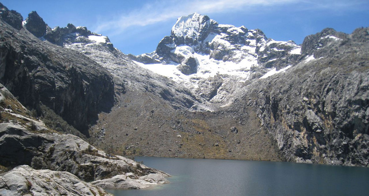
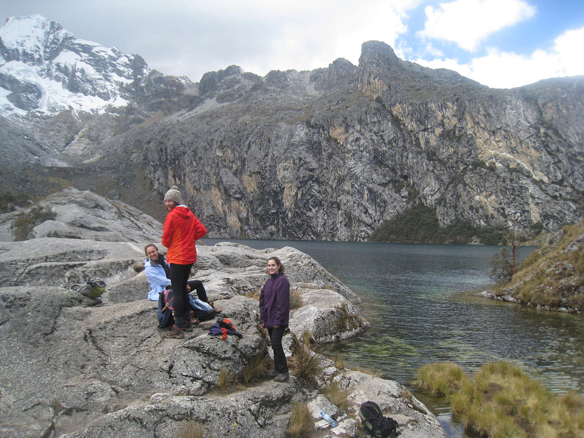
Today we start out acclimatisation by heading up to 4,500m/14,764ft and to the beautiful Laguna Churup. We listen to our bodies and see how well we are acclimatising, taking it very slowly in the thin mountain air.
Mount Churup’s reflection in the clear waters of Laguna Churup is the reward for today’s efforts, and well worth it as the peak provides a stunning backdrop to the laguna.
We return to Huaraz and our hotel, maintaining the mountaineering rule of acclimatisation – walk high, sleep low.
Today we embark on our trek into the Santa Cruz valley.
The drive to the trailhead takes us north through some magical landscapes. Leaving the Santa valley at Caraz (2,290m/7,513ft) we continue to Cashapampa (2,900m/9,514ft) where we start the trek.
We begin with a gradual ascent of the Santa Cruz valley. By mid-afternoon the valley levels out and, at Llamacorral, we set up our camp.
Distance: 23.4km/14.8 miles
Highest point: 3,792m/12,441ft
Starting altitude: 2,692m/8,831ft
Finishing altitude: 3,792m/12,441ft
Height gained: 1,124m/3,688ftt
Height lost: 26m/85ft
After breakfast, we break camp and set off.
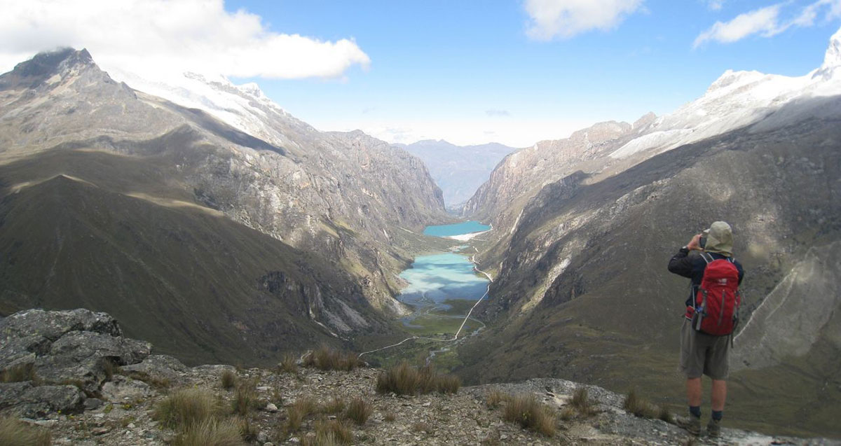
We pass Laguna Chica and Laguna Grande lakes and begin our ascent towards the first pass, the magnificent peak of Taulliraju (5,830m/19,127ft) looming large up ahead.
We camp at Taullipampa surrounded by spectacular mountain views, and there is an option to see the Alpamayo base camp, for those with the energy.
Distance: 21km/13 miles
Highest point: 4,178m/13,703ft
Starting altitude: 3,792m/12,441ft
Finishing altitude: 4,178m/13,703ft
Height gained: 414m/1,358ft
Height lost: 30m/98ft
We continue the ascent today, and face the challenge of the Punta Union pass.
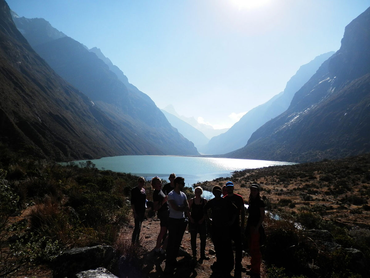
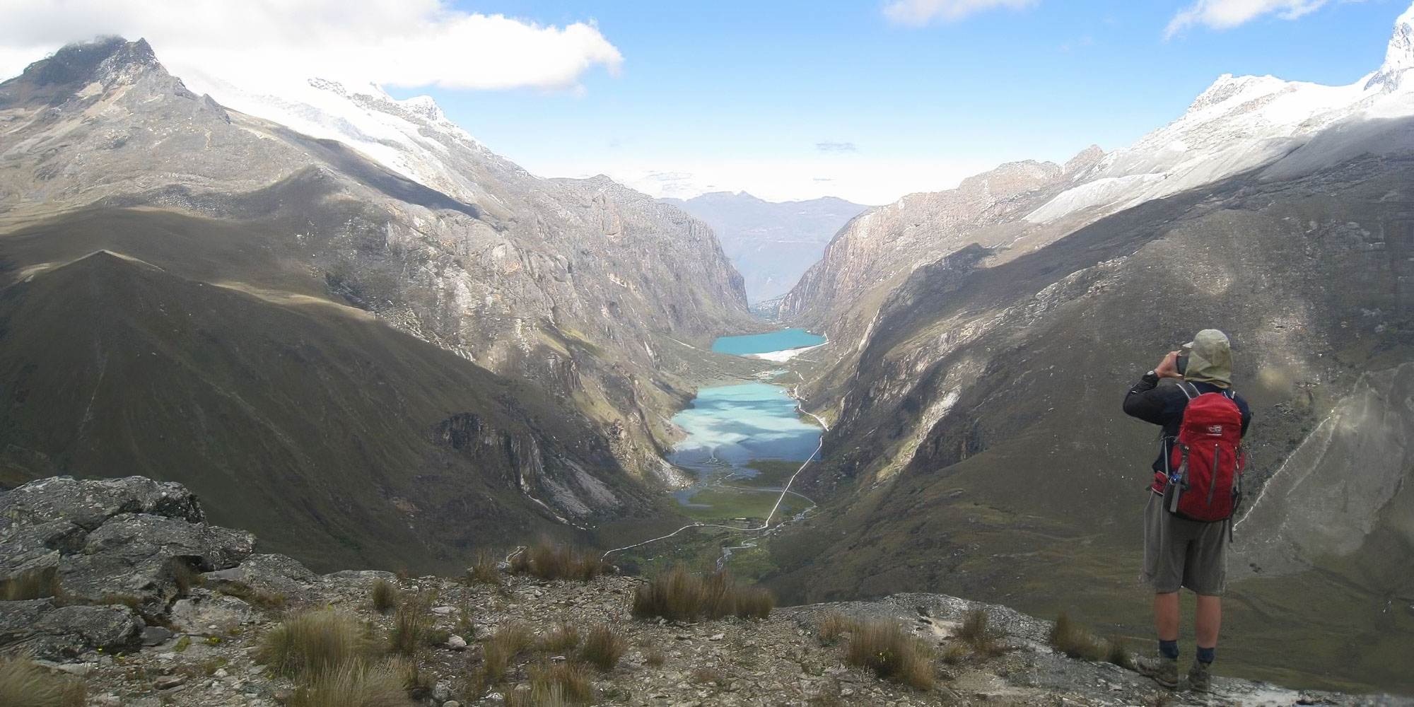
It is a steep zig-zagging climb across moranic screes, fringing the shores of the turquoise lake of Taullicocha.
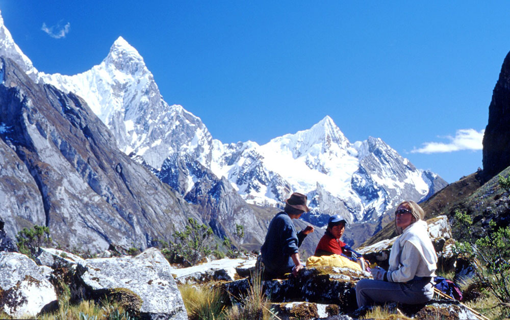
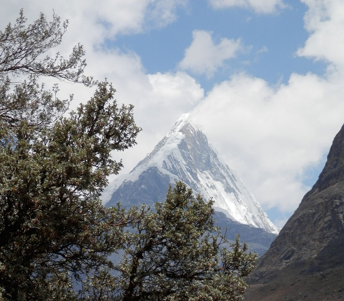
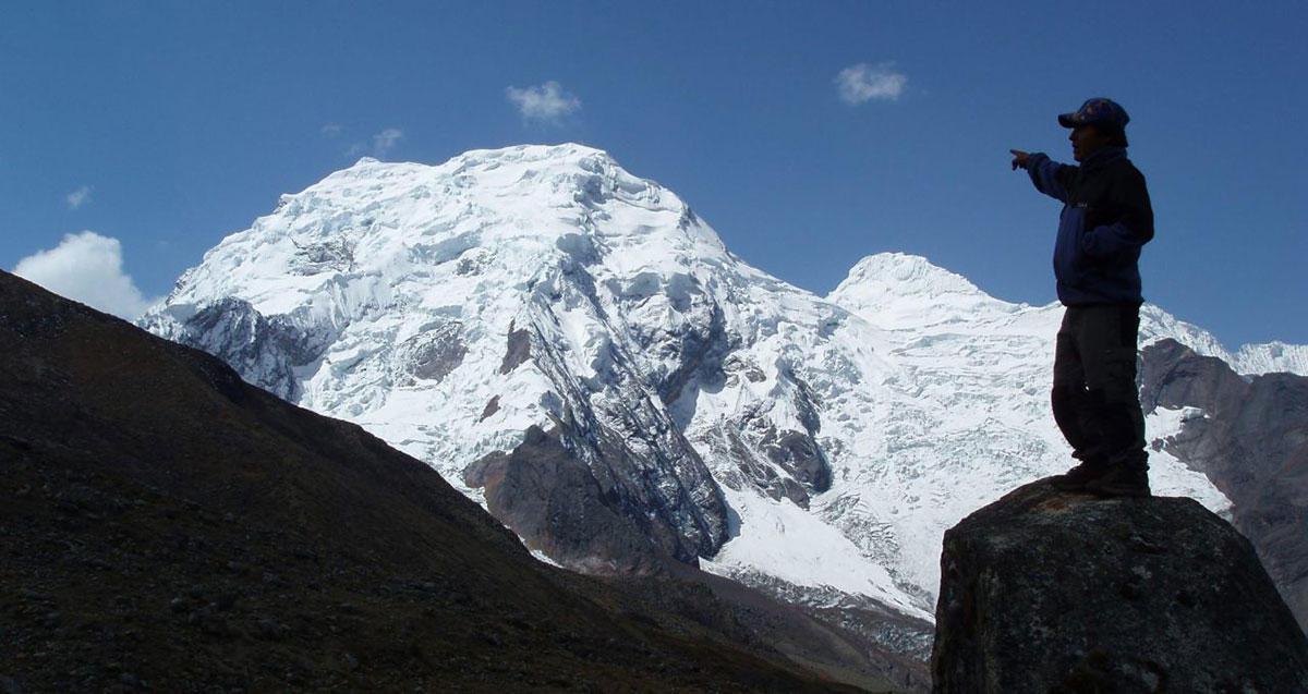
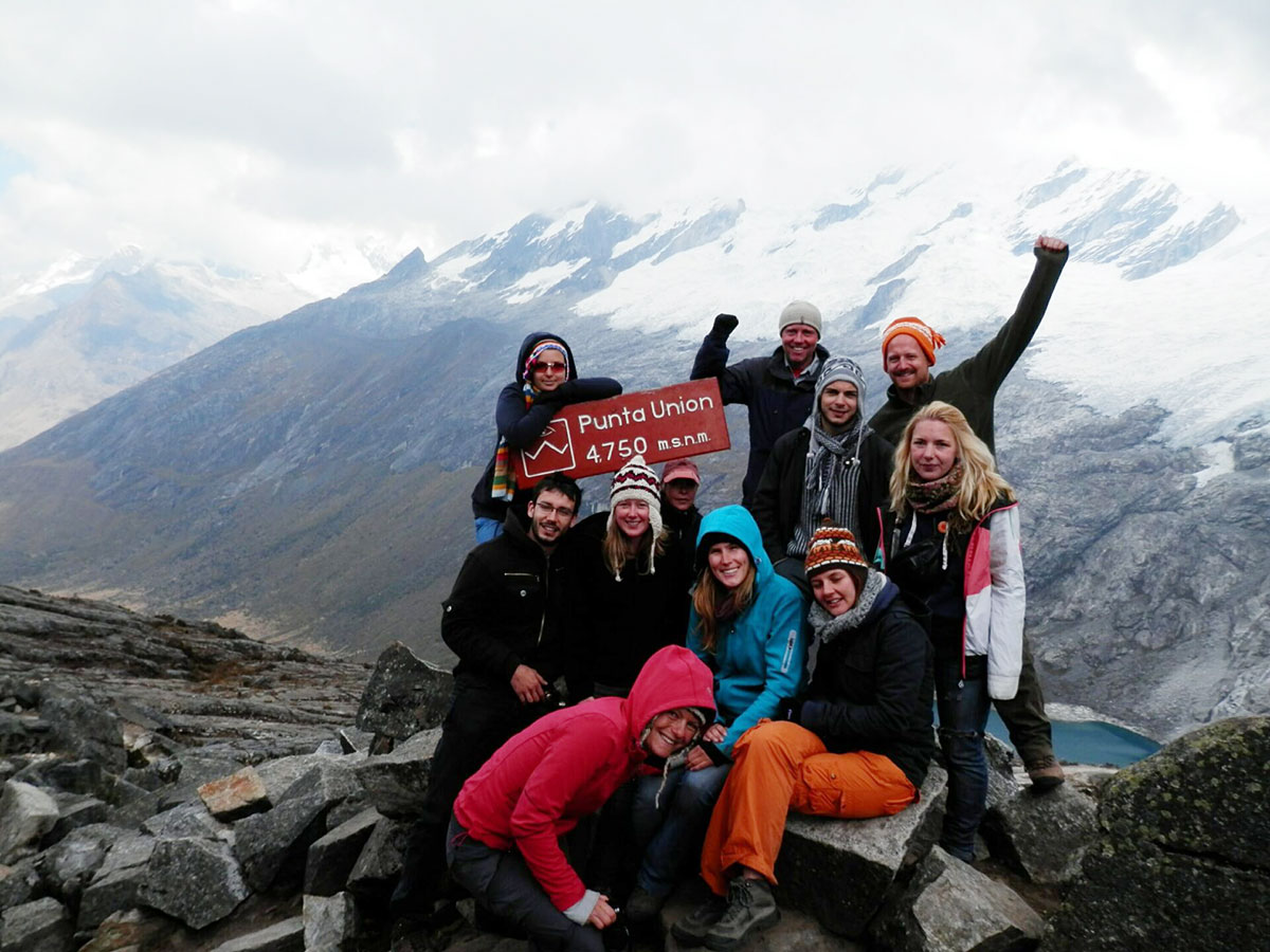
The panorama that unfolds as we approach the pass at Punta Union (4,750m/15,584ft) is magnificent; the nearby peaks of Chacraraju (6,112m/20,052ft), Artesonraju (6,025m/19,767ft) and Piramide (5,885m/19,308ft) as well as Alpamayo (5,947m/19,511ft), Santa Cruz (6,259m/20,535ft) and Huandoy (6,395m/20,981ft) fill the view.
We descend into the Huaripampa valley passing many tarns, to camp at Huaripampa.
Distance: 18.8km/11.7 miles
Highest point: 4,768m/15,644ft
Starting altitude: 4,178m/13,703ft
Finishing altitude: 3,697m/12,131ft
Height gained: 1,095m/3,593ft
Height lost: 1,071m/3,514ft
Today we continue our descent towards Vaqueria (3,700m/12,139ft), then cut southeast on the trail at Colcabamba.
We’ve left our first valley and now enter the Ulta valley and set up at a lovely camping spot, before tomorrow’s ascent of our second pass.
Distance: 9km/5.6 miles
Highest point: 3,728m/12,231ft
Starting altitude: 3,697m/12,131ft
Finishing altitude: 3,728m/12,231ft
Height gained: 316m/1,037ft
Height lost: 287m/942ft
Our last full day of hiking sees up break camp and head up and over our final pass.
Great views are afforded as we descend to our final, rather beautiful campsite, where we set up camp and reflect on our fantastic trekking trip.
Distance: 24.4km/15.2 miles
Highest point: 4,657m/15,280ft
Starting altitude: 3,728m/12,231ft
Finishing altitude: 3,862m/12,671ft
Height gained: 819m/2,087ft
Height lost: 792m/2,598ft
Our last morning in camp, we pack up and hike out to meet our transport at the road.
Transfer to Huaraz for a well-deserved warm shower and celebration banquet!
We take you to the bus station for the morning bus to Lima, and the tour ends.
We use clean, central 2-3* hotels in towns, all with private bathrooms.
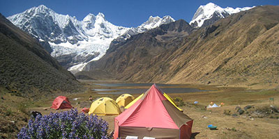
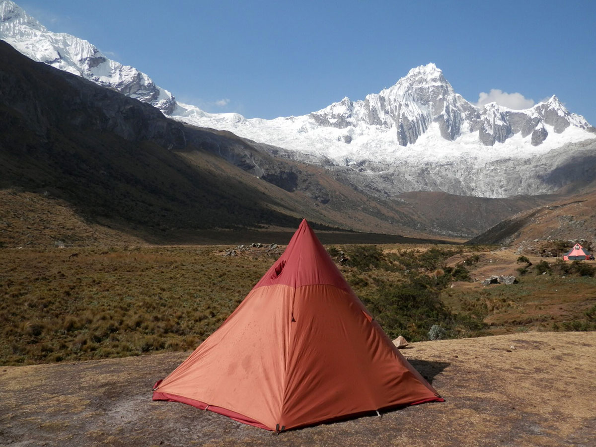
Camping we use top quality two-man tents on all treks.
We have classified this as a moderate trek, and you need to be in good physical shape for it.
You have two acclimatisation hikes, then walk 4-7 hours a day for 5 consecutive days, over rugged mountain trails at elevation.
There is a high altitude pass to cross at 4,750m/15,583ft and we walk and sleep at high altitude for long periods of this tour.
Pre-trip preparation should include challenging cardiovascular exercise (including regular hikes on varied terrain) and a healthy, balanced diet.
Well-worn hiking boots are highly recommended.
All guests are encouraged to hike at their own pace, taking breaks whenever needed, to ensure a successful and enjoyable trek for all.
Most people go to bed fairly early after a long day trekking, to recover energy for the morning.
Vegetarians and many other dietary requirements are catered for without problems. Please let us know in advance of any requirements you have.
You wake early, usually around 07.00. Breakfast is served in a dining tent, and consists of hot drinks, porridge, toast, jams and bread, and your guide will explain the day’s trekking plans.
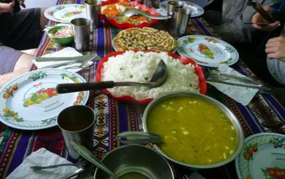
Lunch is usually around 13.00 and can feature soups, meats, salads and fish, with vegetarian options and hot drinks too.
The campsites are comfortable and around 17.00 hot drinks, popcorn and other snacks are served to help you recover energy.
Dinner is served around 19.30, and will feature pasta, mashed potatoes, meat, fish or vegetarian options, followed by hot drinks and a pudding.
All guides are certified, bilingual, English-speaking guides who have worked with us for many years.
Cooks, mule drivers and additional staff are all from the local, nearby communities and we have worked with them for a long time.
A challenging yet unforgettable Inca Trail trek with breathtaking scenery, fantastic guides and porters. Truly a once-in-a-lifetime experience.
An extraordinary Inca Trail trek in Peru, marked by outstanding guides, incredible food, and unforgettable memories.
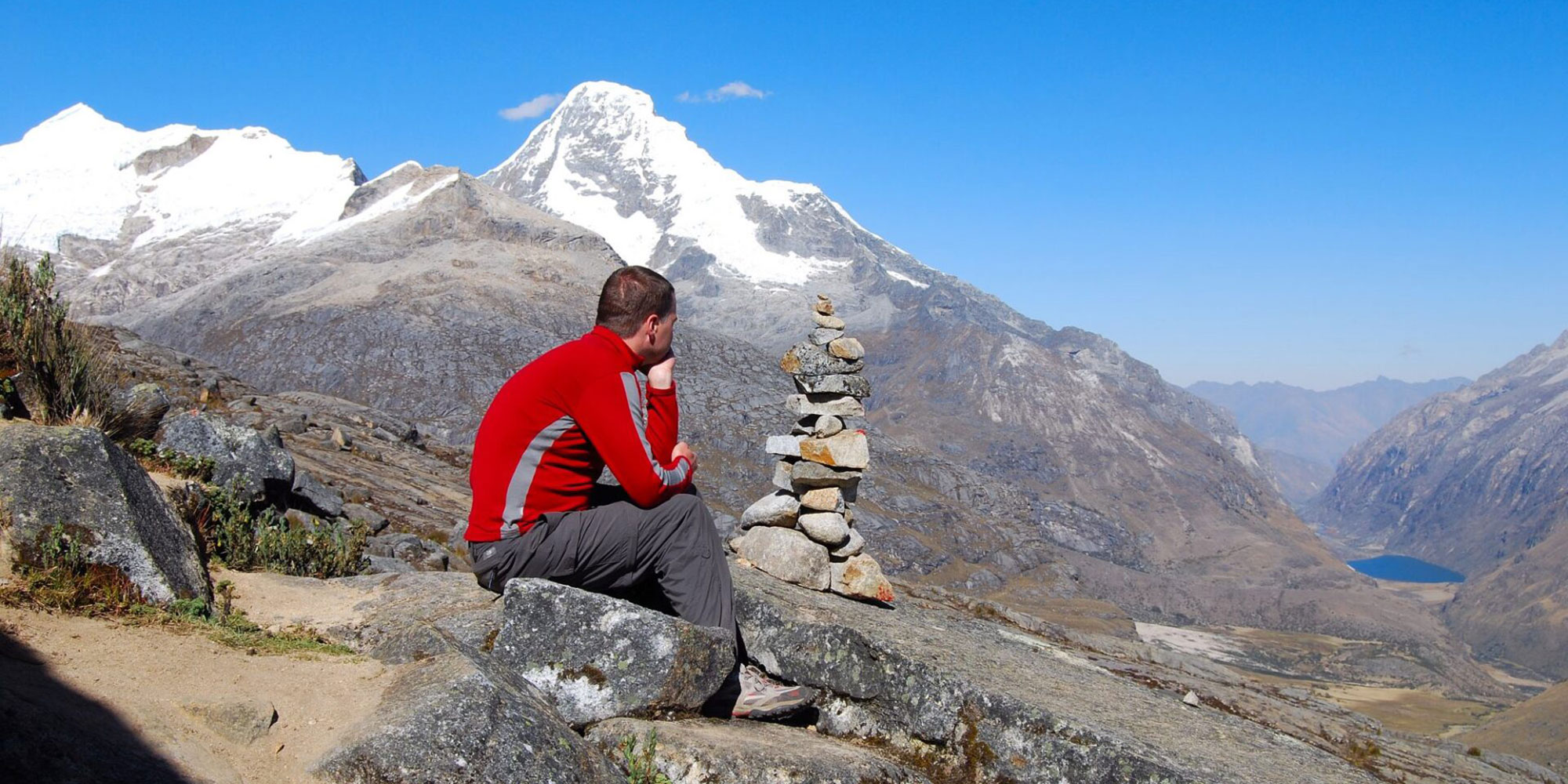
This fully-supported and extended version of the Santa Cruz walk is one of the best Cordillera Blanca tours on offer.
You are met on arrival in Lima and from thereon in we take care of all the logistics, acclimatisation walks and the trek so that you feel as free as the mountains that await.
Let your thinking become as clear as the air around you, as you leave behind the stresses back home for the wide open spaces of the Cordillera.
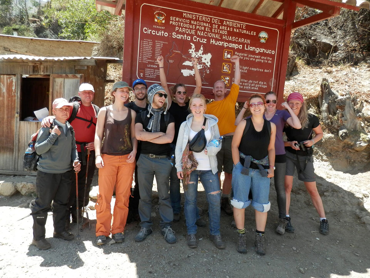
From Lima, take the bus to the bustling Peru highland city of Huaraz, where we undertake a few days’ of acclimatisation walks in this stunning area.
Once adjusted to the clear, high Andean air and altitude, we leave Huaraz to trek the Santa Cruz trek, which has some of the finest views Peru can offer.
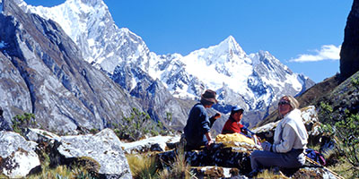
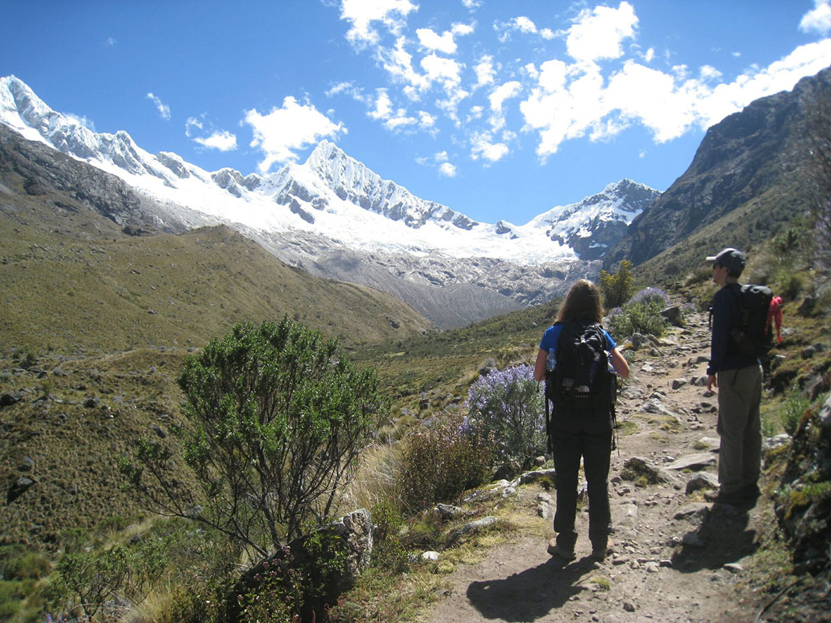
Our Cordillera Blanca trek starts with a gradual ascent of the Santa Cruz valley.
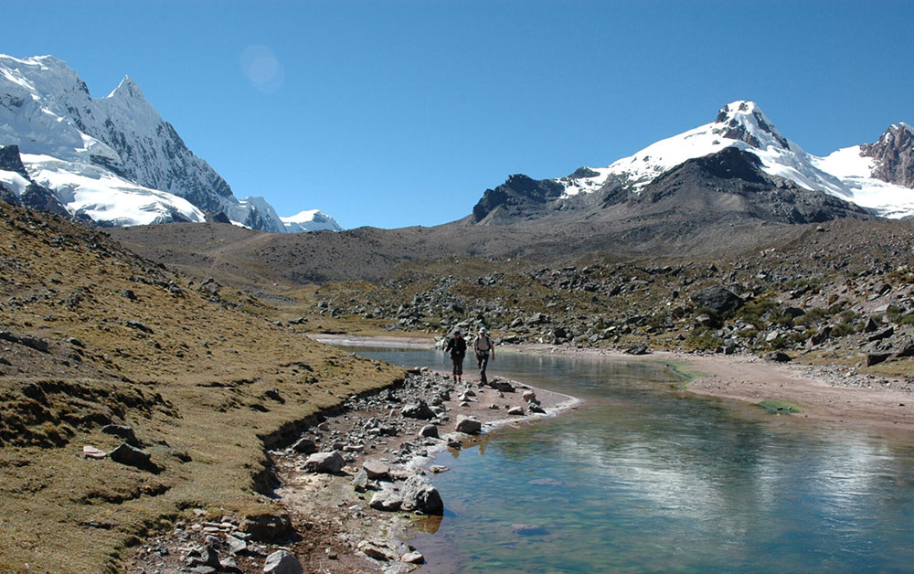
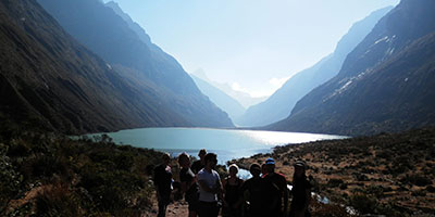
We hike up and over the Punta Union pass at 4,750m/15,584ft, by turquoise lakes and close to glaciers clinging to an array of awesome peaks.
Next stop is Vaqueria then the Ulta Valley before heading back to Huaraz, having seen some of the most stunning mountain scenery in South America.
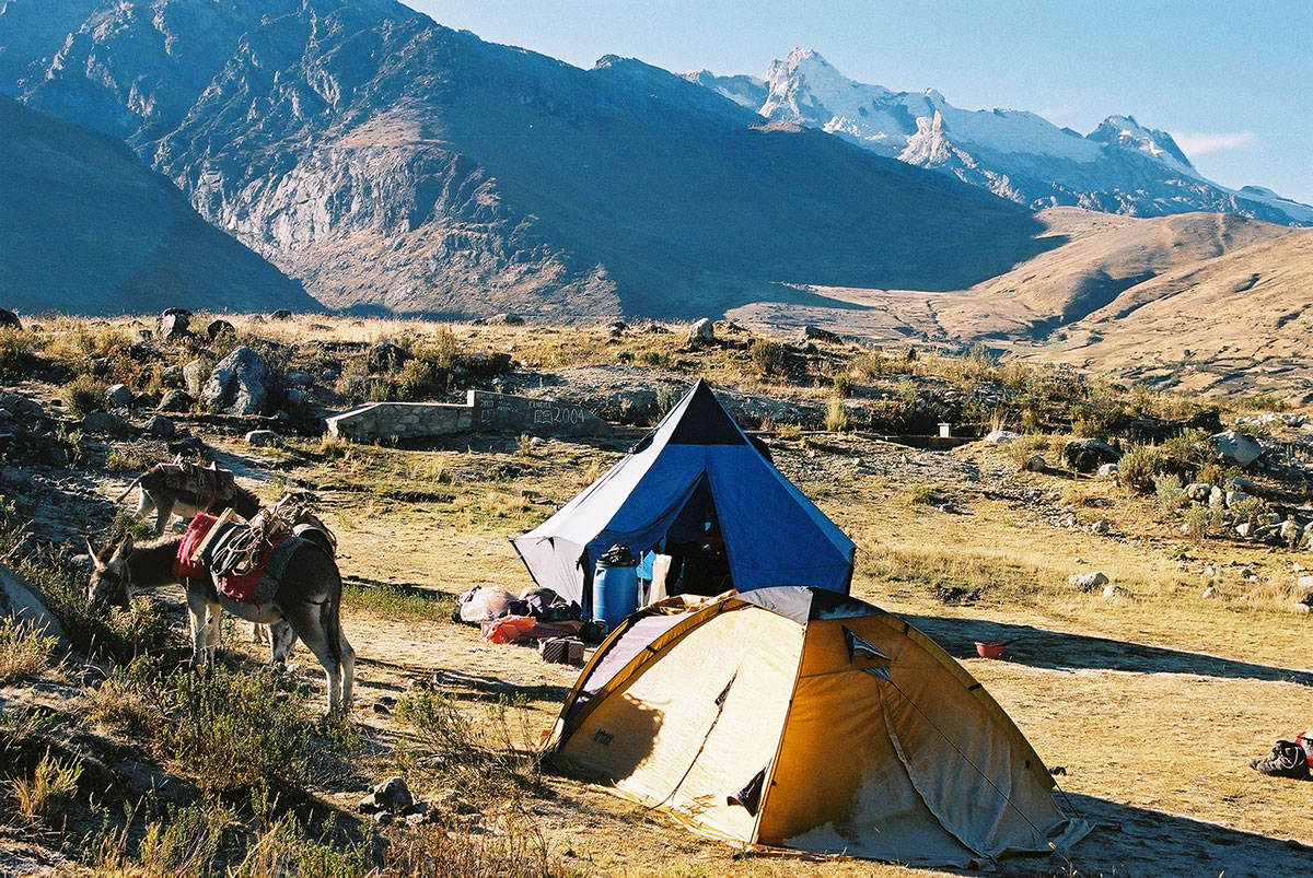
Peru is made up of 3 distinct geographical areas: the coast, the mountains and the jungle.
The costa or coastal region is a narrow ribbon of desert 2,250 km long, crossed by fertile river valleys flowing from the Andes. It takes up 11% of the country and holds more than 40% of the population.
The cold Humboldt current gives rise to a blanket of mist – the garua – which hangs above coastal cities like the capital Lima from May to November.
Heading east, you’re soon climbing above the garua and into the Andes. The sierra, or mountainous region, covers some 25% of Peru’s territory and contains 50% of the population. The sierra inhabitants are mainly Indigenous or Mestizo, and many still speak Quechua or Aymara.
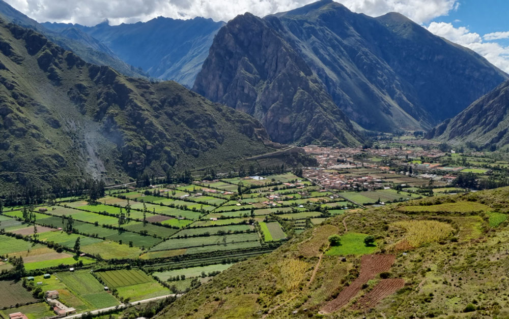
The sierra contains dozens of 6,000-metre snow peaks and volcanoes, including Huascaran (6,768m) the highest mountain in the tropics. The deep valley basins contain most of the towns and arable land; the terracing and canal systems of the Incas and pre-Incas are often still used today.
The eastern Andes are heavily forested up to 3,350m and sweep down into the Amazon Basin.
Peru’s selva or jungle makes up almost two thirds of the country’s area, but holds only about 6% of the population: the only towns with significant populations are Iquitos and Pucallpa.
Peru is the perfect holiday destination for adventure travellers that want an amazing variety of activity, geography and cultural travel experiences.
The breadth of travel experiences in Peru is breathtaking – from trekking in the Andes to Machu Picchu to the tropical jungle of the Amazon, and plenty in between.
The people of Peru make it a special destination too, with its colourful and traditional street life and friendly locals.
You can also read about the weather of Peru in our blog.
You can also read about the weather of Peru in our blog.
Peru is located in the southern tropics (latitudes 0º to 18º), but climate varies significantly according to season, altitude and region.
From May to October, Lima is often overcast, but with minimal precipitation. There are sunny spells, and it’s a fresh to pleasant 13-20ºC.
At the same time, inland areas and the north coast mid to high 20’s ºC.
November to April is generally warm and sunny and Lima enjoys warm temperature of 19-25ºC, with the coast averaging 22-30ºC.
Climate depends largely on altitude. As a rule of thumb, below 2,000m climate is mild and above 2,000m warm clothing is required for evenings, nights and early mornings.
The Andean sun is very strong.
Cusco (3,300m): Average max/min temps: 22ºC /2ºC. Average 3 or 4 wet days per month.
Arequipa (2,380m): Average max/min temps: 26ºC /9ºC. Sunny more than 340 days/year with minimal precipitation.
On highland treks: Conditions are generally dry. However, at this time of year, expect a range of conditions within a single day: cold/freezing nights at camps above 4,000m, where pre-dawn temperatures can be -5ºC; warm, spring-like mornings and afternoons; and cold evenings.
Note that mountain weather can be fickle and localised, and that precipitation is not unknown in the dry season. Expect temperatures to swing between sun and shade, sheltered and exposed ground and with altitude gain and loss. A quick-setting sun means temperatures drop fast.
In the cloud forest, e.g. around Machu Picchu, daytime conditions are generally warm or hot, and evenings cool.
Cusco: Average max/min temps: 23ºC /6ºC. Average 13 wet days per month.
Arequipa: Average max/min temps: 25ºC /14ºC.
On highland treks: Wetter conditions, with cooler days and milder nights than dry season. Jan-Mar usually the wettest months.
Year-round, weather conditions are hot and humid and there is always the risk of rain.
There is a ‘dry season’ in Tambopata and Manu between May and October. The average daytime high temperature is between 25°C and 34°C and the average nighttime low is between 16°C and 22°C. Heavy downpours typically occur every few days.
Around 80% of annual average rainfall – approx 2,000 mm in Manu and Tambopata and 1,400 mm in Iquitos – occurs in the wet season Nov-April.
On rare occasions, between May and September, cold fronts from Argentina – ‘friajes’ – can sweep into southwest Amazonia and push temperatures down to 9°C. (Friajes usually last between 1 and 3 days).
You can also read about the weather of Peru in our blog.
Climate depends largely on altitude. As a rule of thumb, below 2,000m climate is mild and above 2,000m warm clothing is required for evenings, nights and early mornings.
The Andean sun is very strong.
Cusco (3,300m): Average max/min temps: 22ºC /2ºC. Average 3 or 4 wet days per month.
Arequipa (2,380m): Average max/min temps: 26ºC /9ºC. Sunny more than 340 days/year with minimal precipitation.
On highland treks: Conditions are generally dry. However, at this time of year, expect a range of conditions within a single day: cold/freezing nights at camps above 4,000m, where pre-dawn temperatures can be -5ºC; warm, spring-like mornings and afternoons; and cold evenings.
Note that mountain weather can be fickle and localised, and that precipitation is not unknown in the dry season. Expect temperatures to swing between sun and shade, sheltered and exposed ground and with altitude gain and loss. A quick-setting sun means temperatures drop fast.
In the cloud forest, e.g. around Machu Picchu, daytime conditions are generally warm or hot, and evenings cool.
Cusco: Average max/min temps: 23ºC /6ºC. Average 13 wet days per month.
Arequipa: Average max/min temps: 25ºC /14ºC.
On highland treks: Wetter conditions, with cooler days and milder nights than dry season. Jan-Mar usually the wettest months.
A challenging yet unforgettable Inca Trail trek with breathtaking scenery, fantastic guides and porters. Truly a once-in-a-lifetime experience.
An extraordinary Inca Trail trek in Peru, marked by outstanding guides, incredible food, and unforgettable memories.