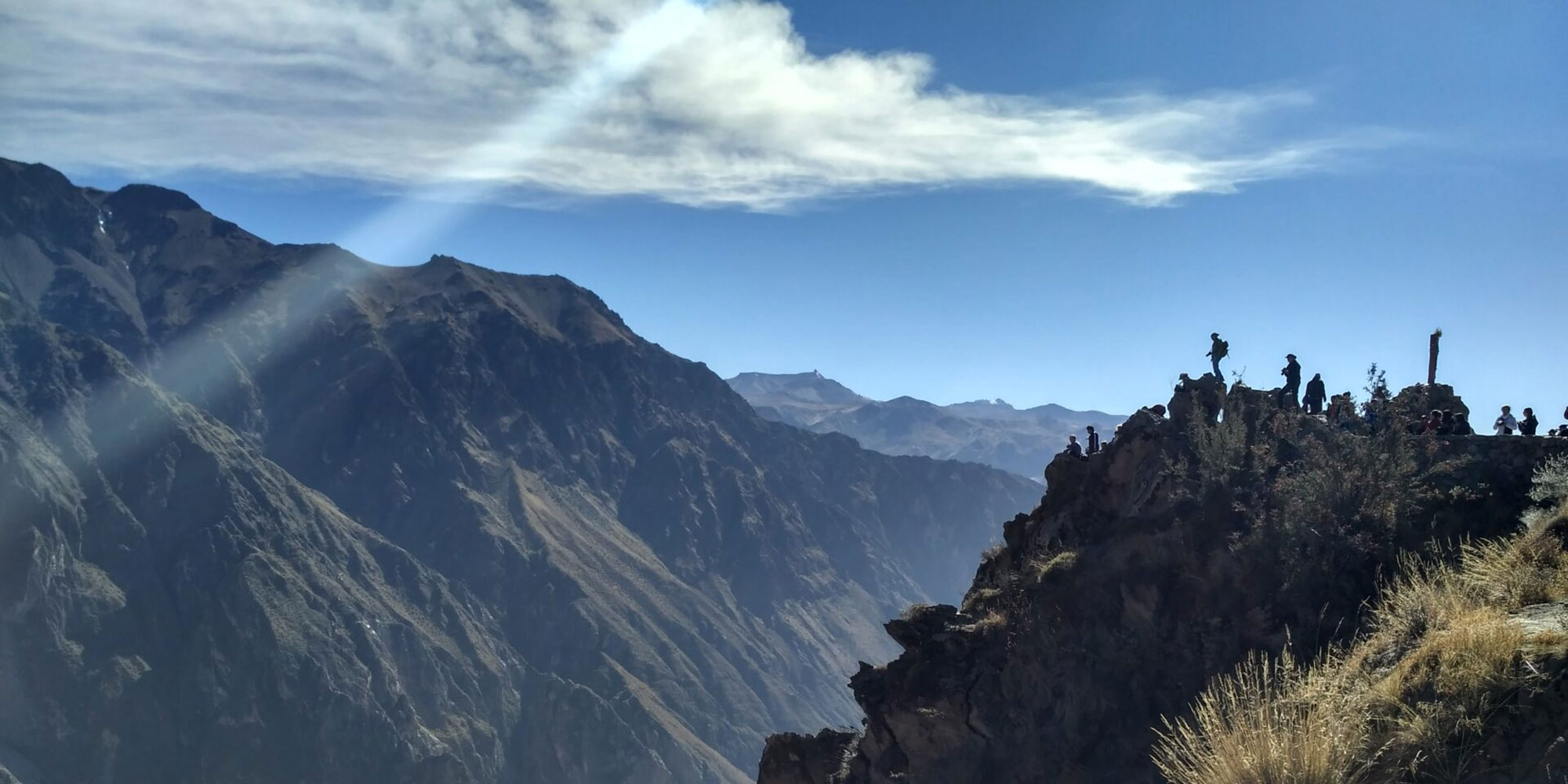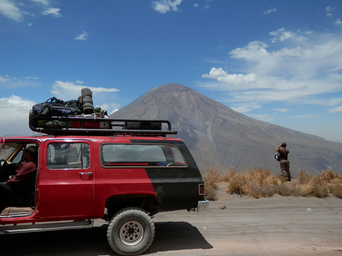
Transfer from your hotel in Arequipa and the journey to the canyon begins. It’s a long but scenically spectacular drive to la Cruz del Cóndor and from there to the start of the trail at Pampas de San Miguel.
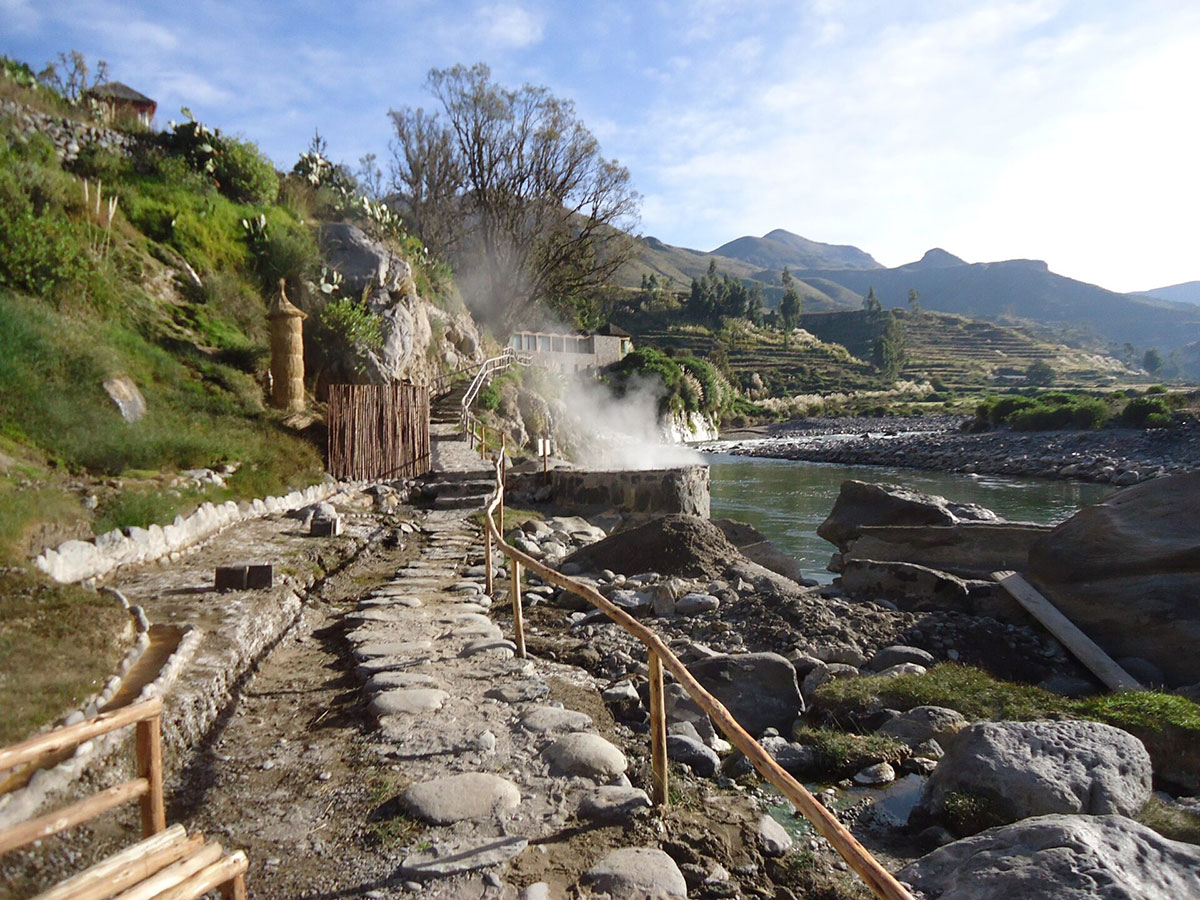
The walk starts, taking you deep into the canyon, passing Tapay until we reach our camp at San Juan de Chuccho.
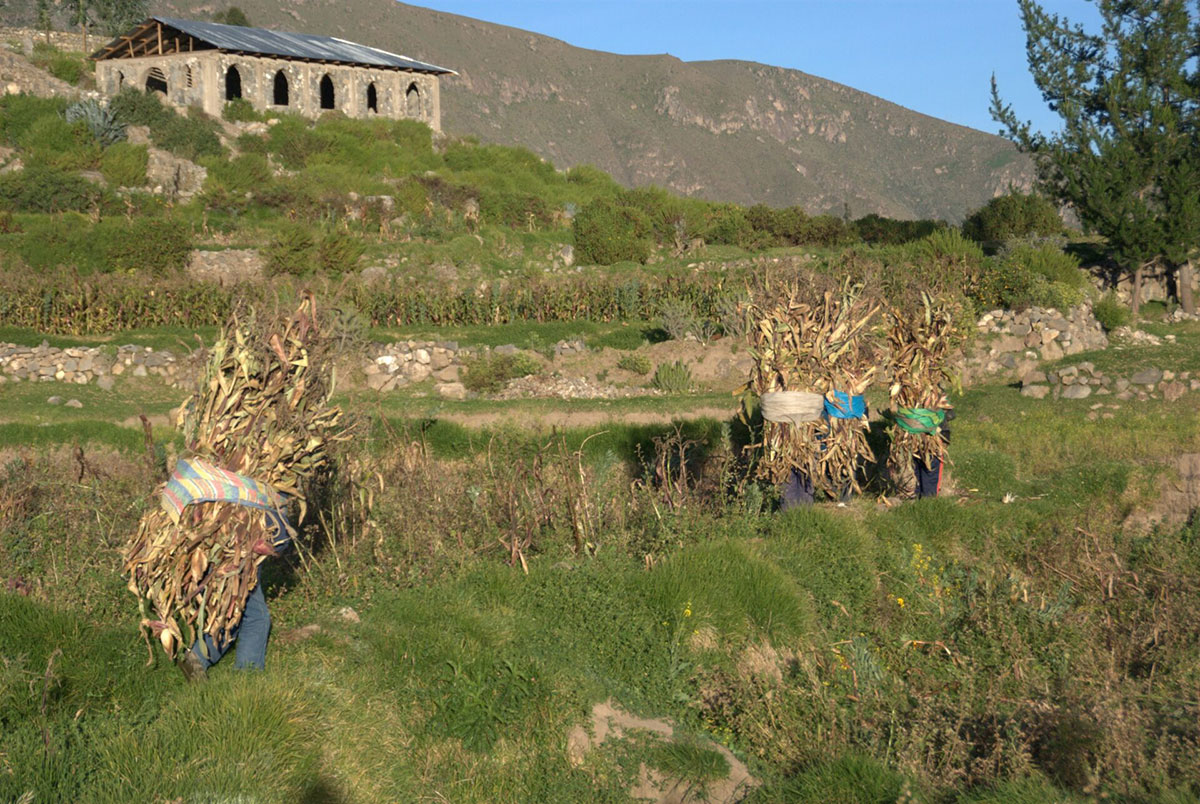
Today we visit the ancient village of Tapay and a series of small villages dedicated to agriculture, the growing of fruit and the collection “cochinilla”.
Camp at Sangalle, a small oasis.
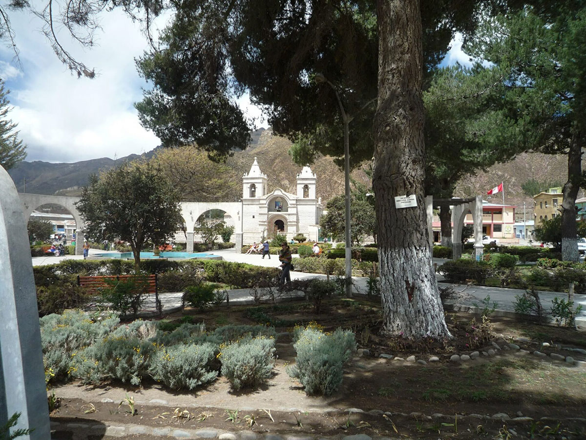
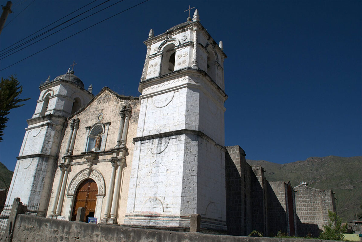
Today we climb the side of the canyon to the small town of Cabanaconde; a sleepy village at 3,287m/10,784ft, where the road ends on the edge of the canyon.
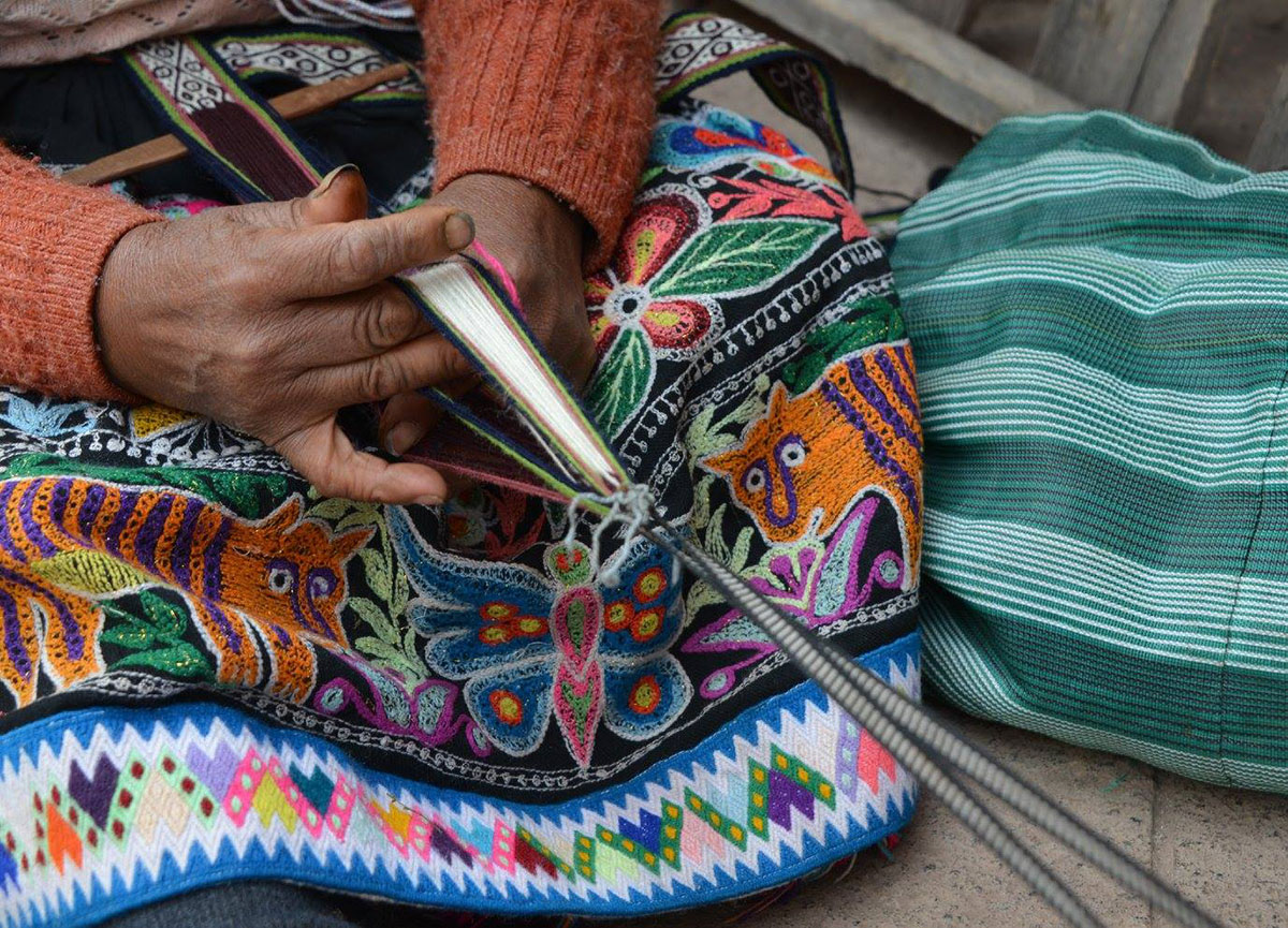
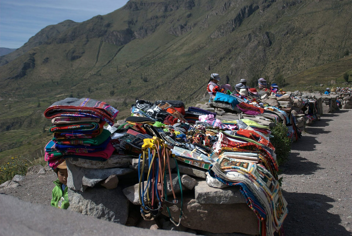
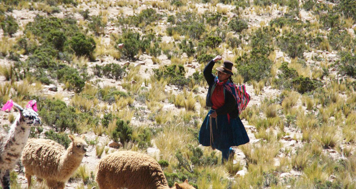
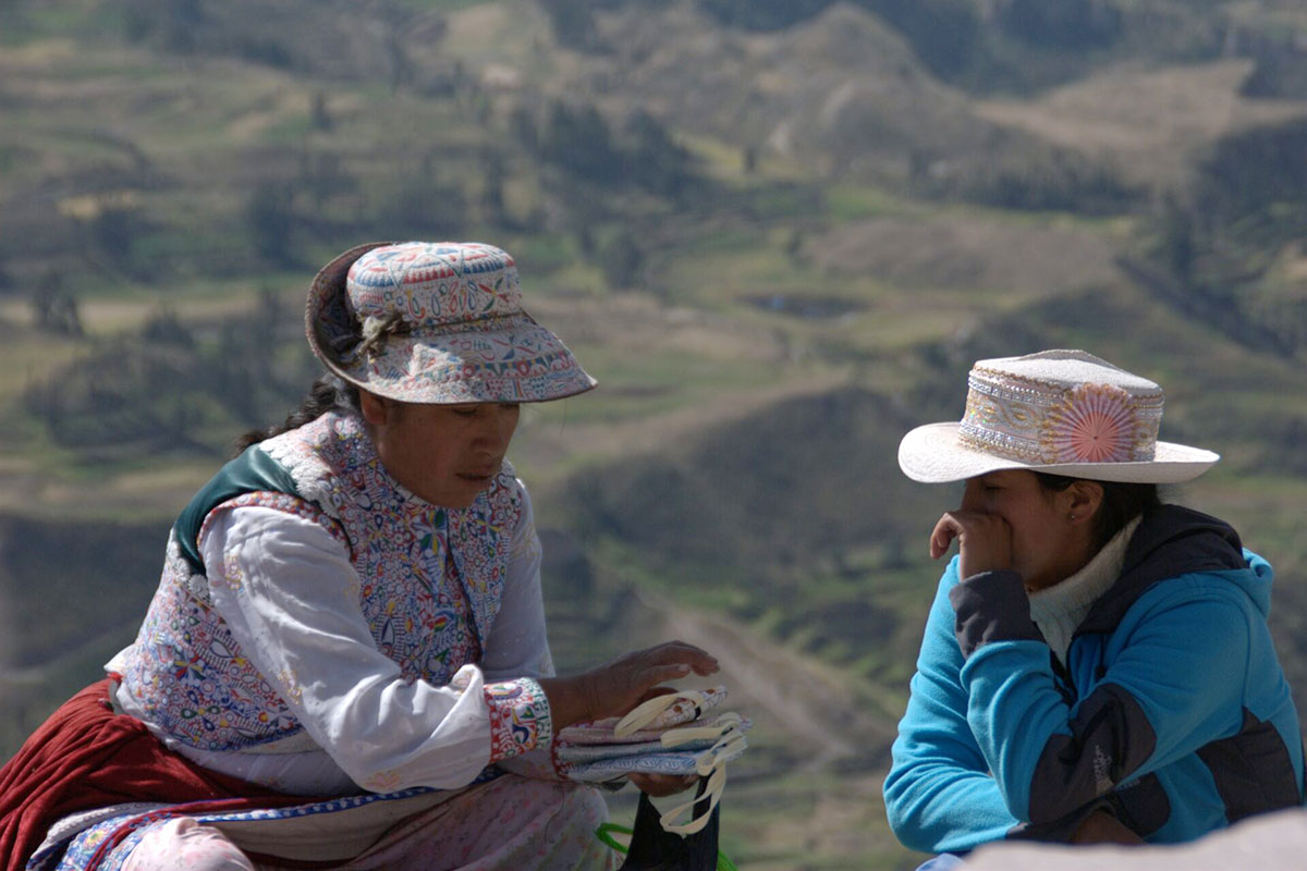
You’ll find its friendly inhabitants dressed in beautiful hand-embroidered clothing.
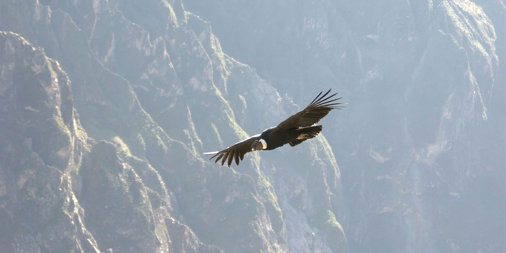
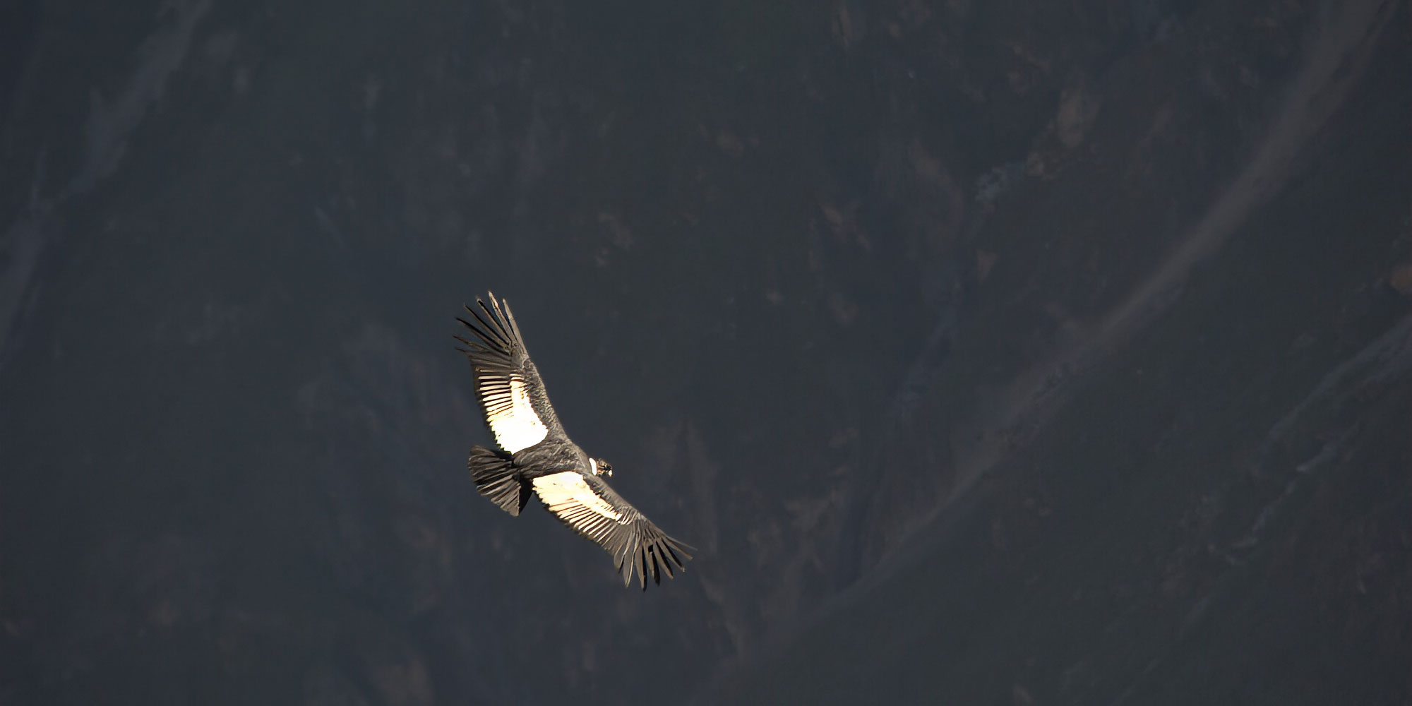
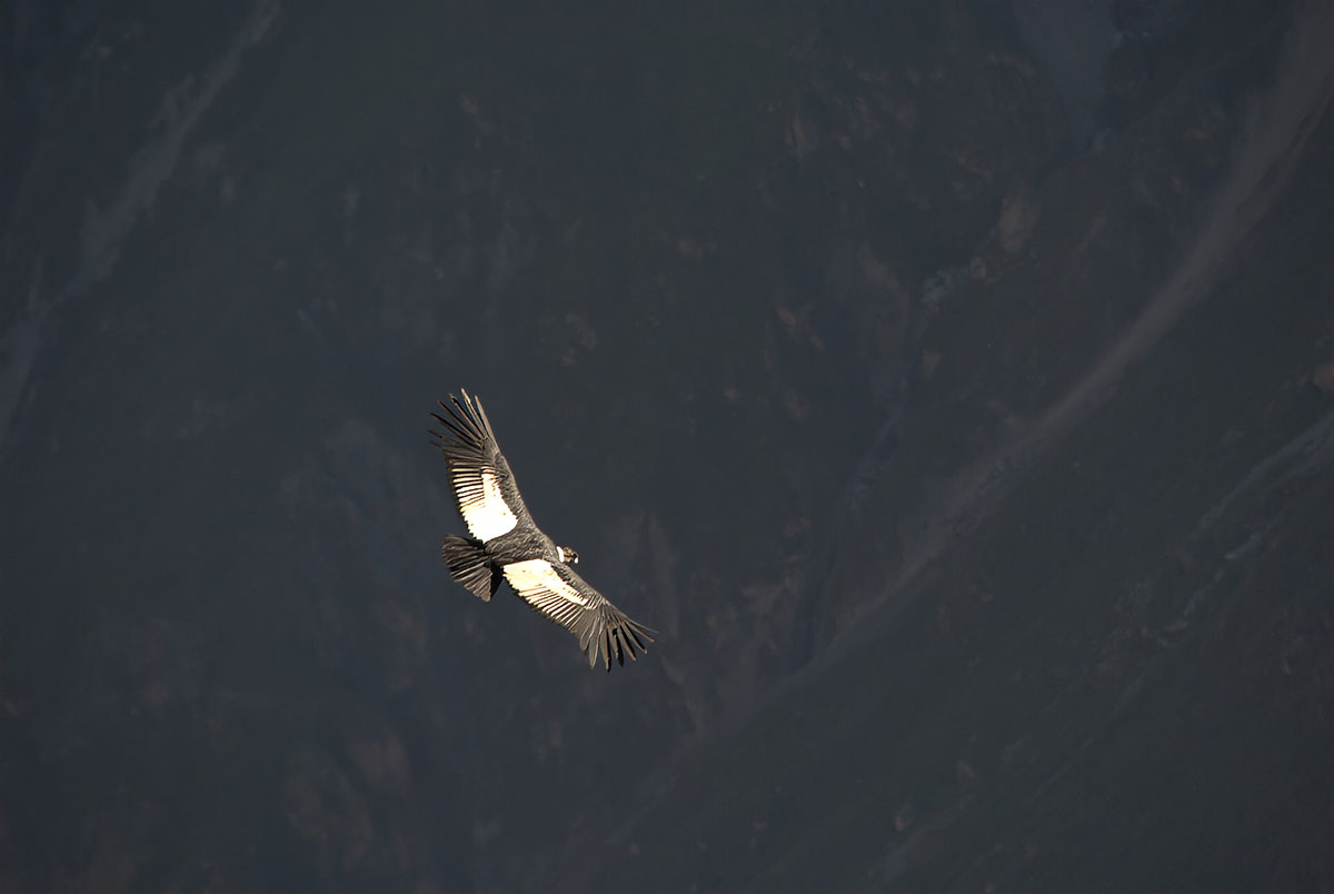
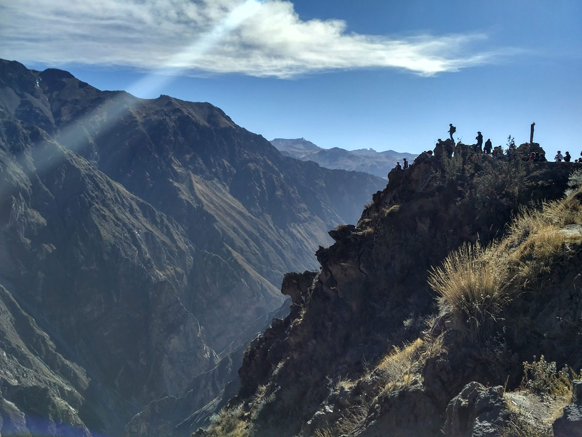
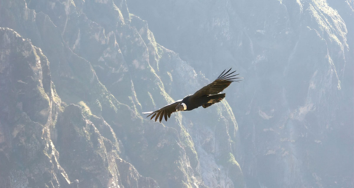
We visit condor viewpoints at Colca Canyon and any interesting sites you would like to stop at on our return to Arequipa, Peru.
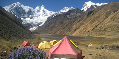
Camping with kitchen and dining tent.
We have classified this as a moderate trek, and you need to be in good physical shape for it.
There is some altitude as the top Colca is around 3,400m/11,115ft, and then we descend to a more comfortable height around 2,500m/8,202ft.
The descent into the canyon and the climb out is fairly steep and it is more that type of terrain that you need to be prepared for than the altitude.
Pre-trip preparation should include challenging cardiovascular exercise (including regular hikes on varied terrain) and a healthy, balanced diet.
Well-worn hiking boots and additional acclimatisation nights in Arequipa/Colca (203) before the trek are both highly recommended.
Vegetarians and many other dietary requirements are catered for without problems. Please let us know in advance of any requirements you have.
You wake early, usually around 07.00. Breakfast is served in a dining tent, and consists of hot drinks, porridge, toast, jams and bread, and your guide will explain the day’s trekking plans.
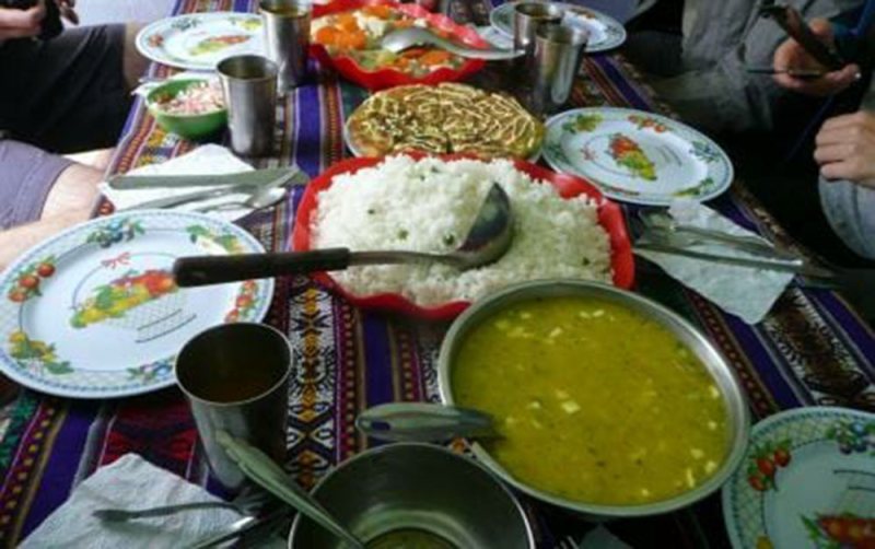
Lunch is usually around 13.00 and can feature soups, meats, salads and fish, with vegetarian options and hot drinks too.
The campsites are comfortable and around 17.00 hot drinks, popcorn and other snacks are served to help you recover energy.
Dinner is served around 19.30, and will feature pasta, mashed potatoes, meat, fish or vegetarian options, followed by hot drinks and a pudding.
All guides are certified, bilingual, English-speaking guides who have worked with us for many years.
Cooks, mule drivers and additional staff are all from the local, nearby communities and we have worked with them for a long time.
A rewarding mix of volunteering, local experiences and trekking, with welcoming staff, wonderful children and a memorable finish at the Lares hot springs.
An unforgettable Inca Trail journey through Peru, combining breathtaking scenery, expert guidance, and seamless adventure from start to finish.
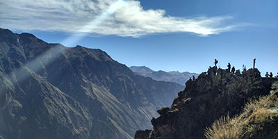
You’ll see the famous birds flying above you one while you enjoy a trek in one of the deepest gorges in the world.
We show you that there there is more to Colca Canyon gorge, near Arequipa, than the iconic condor.
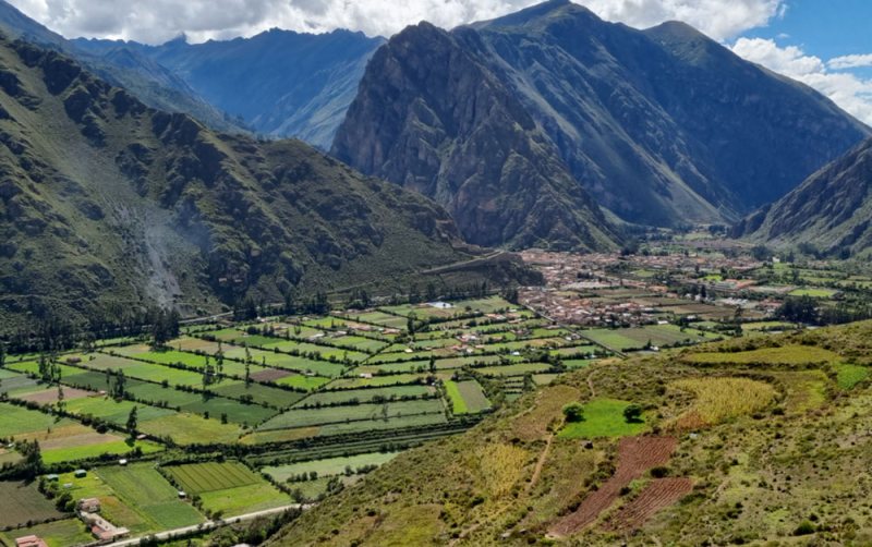
Colca is rumoured to be the deepest in the world and twice as deep as the grand canyon. It is 100+ kilometres/62 miles long and is said to reach a maximum depth of 3,400m/11,55ft.
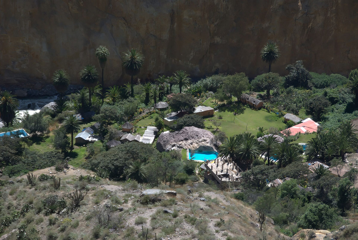
Cave paintings suggest that people have lived here since the first humans arrived in the Andes.
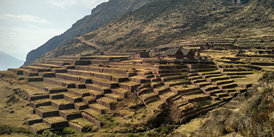
The characteristic terraces of the Colca valley rival those of the Incas and the terraces are still widely used.
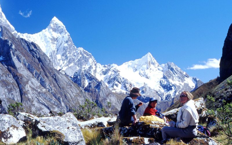
Our guide will take you to remote farming areas as well as beautiful viewpoints as you trek along the Colca Canyon.
We can adapt the itinerary to your needs, so you get the most out of your hike.
From: $1237 per person
Duration
4 days
Peru is made up of 3 distinct geographical areas: the coast, the mountains and the jungle.
The costa or coastal region is a narrow ribbon of desert 2,250 km long, crossed by fertile river valleys flowing from the Andes. It takes up 11% of the country and holds more than 40% of the population.
The cold Humboldt current gives rise to a blanket of mist – the garua – which hangs above coastal cities like the capital Lima from May to November.
Heading east, you’re soon climbing above the garua and into the Andes. The sierra, or mountainous region, covers some 25% of Peru’s territory and contains 50% of the population. The sierra inhabitants are mainly Indigenous or Mestizo, and many still speak Quechua or Aymara.
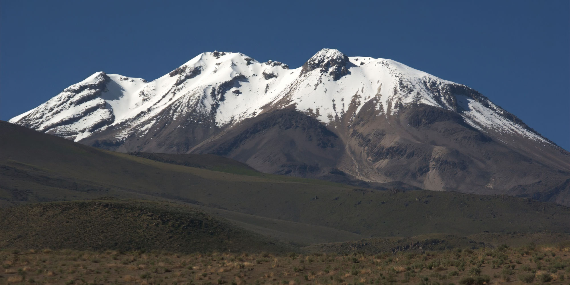
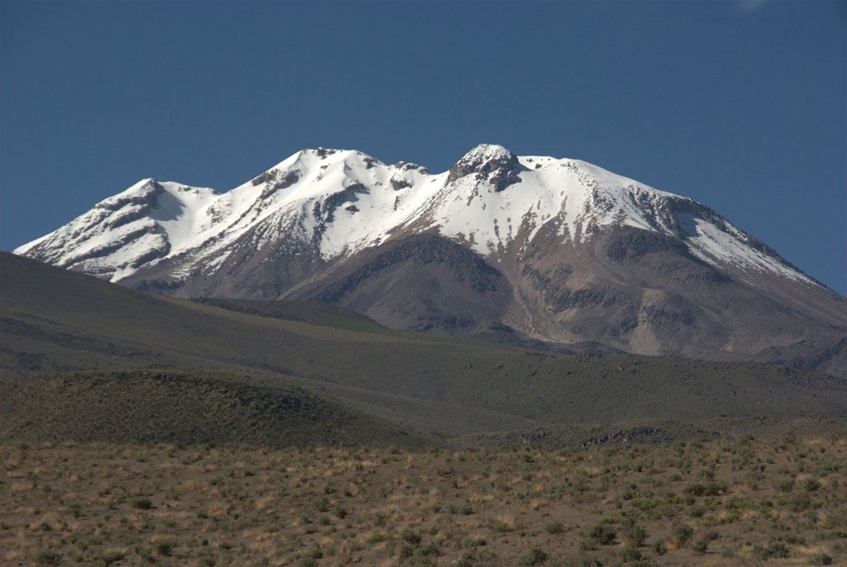
The sierra contains dozens of 6,000-metre snow peaks and volcanoes, including Huascaran (6,768m) the highest mountain in the tropics. The deep valley basins contain most of the towns and arable land; the terracing and canal systems of the Incas and pre-Incas are often still used today.
The eastern Andes are heavily forested up to 3,350m and sweep down into the Amazon Basin.
Peru’s selva or jungle makes up almost two thirds of the country’s area, but holds only about 6% of the population: the only towns with significant populations are Iquitos and Pucallpa.
Peru is the perfect holiday destination for adventure travellers that want an amazing variety of activity, geography and cultural travel experiences.
The breadth of travel experiences in Peru is breathtaking – from trekking in the Andes to Machu Picchu to the tropical jungle of the Amazon, and plenty in between.
The people of Peru make it a special destination too, with its colourful and traditional street life and friendly locals.
Good kit is vital for every trip.
Book with Andean Trails and get 15% off Páramo’s fantastic ethical and high performance outdoor gear.
Good kit is vital for every trip.
Book with Andean Trails and get 15% off Páramo’s fantastic ethical and high performance outdoor gear.
When planning for the varied climatic conditions encountered, layering is the most practical and versatile clothing system. It’s worth remembering that our clothing keeps us warm by retaining and isolating the heat we ourselves create.
To best maintain body heat, several layers of lightweight, warm and quick-drying clothing are far more efficient than one or two thick layers. Layers should have the following qualities:
First (base) layer: This layer wicks the sweat away from our skin, thus helping keep the body dry and warm. To this end, synthetic fabrics such as polypropylene should be used.
Mid layers: These isolating layers should also be synthetic (e.g. the known polar linings such as polartec or windblock, which are light and insulate twice as well as wool). Very important layers for retaining body heat.
Outer layer / shell: Finally, the vital layer which protects us from climatic adversities. A breathable, wind-proof and waterproof anorak, such as Goretex.
Give plenty of thought to kit selection, and try to keep weight down.
We also carry an extensive first aid kit & oxygen on all trips, but these are generally for emergencies only.
Below is a more detailed kit list.
You can also read about the weather of Peru in our blog.
You can also read about the weather of Peru in our blog.
Peru is located in the southern tropics (latitudes 0º to 18º), but climate varies significantly according to season, altitude and region.
From May to October, Lima is often overcast, but with minimal precipitation. There are sunny spells, and it’s a fresh to pleasant 13-20ºC.
At the same time, inland areas and the north coast mid to high 20’s ºC.
November to April is generally warm and sunny and Lima enjoys warm temperature of 19-25ºC, with the coast averaging 22-30ºC.
Climate depends largely on altitude. As a rule of thumb, below 2,000m climate is mild and above 2,000m warm clothing is required for evenings, nights and early mornings.
The Andean sun is very strong.
Cusco (3,300m): Average max/min temps: 22ºC /2ºC. Average 3 or 4 wet days per month.
Arequipa (2,380m): Average max/min temps: 26ºC /9ºC. Sunny more than 340 days/year with minimal precipitation.
On highland treks: Conditions are generally dry. However, at this time of year, expect a range of conditions within a single day: cold/freezing nights at camps above 4,000m, where pre-dawn temperatures can be -5ºC; warm, spring-like mornings and afternoons; and cold evenings.
Note that mountain weather can be fickle and localised, and that precipitation is not unknown in the dry season. Expect temperatures to swing between sun and shade, sheltered and exposed ground and with altitude gain and loss. A quick-setting sun means temperatures drop fast.
In the cloud forest, e.g. around Machu Picchu, daytime conditions are generally warm or hot, and evenings cool.
Cusco: Average max/min temps: 23ºC /6ºC. Average 13 wet days per month.
Arequipa: Average max/min temps: 25ºC /14ºC.
On highland treks: Wetter conditions, with cooler days and milder nights than dry season. Jan-Mar usually the wettest months.
Year-round, weather conditions are hot and humid and there is always the risk of rain.
There is a ‘dry season’ in Tambopata and Manu between May and October. The average daytime high temperature is between 25°C and 34°C and the average nighttime low is between 16°C and 22°C. Heavy downpours typically occur every few days.
Around 80% of annual average rainfall – approx 2,000 mm in Manu and Tambopata and 1,400 mm in Iquitos – occurs in the wet season Nov-April.
On rare occasions, between May and September, cold fronts from Argentina – ‘friajes’ – can sweep into southwest Amazonia and push temperatures down to 9°C. (Friajes usually last between 1 and 3 days).
A rewarding mix of volunteering, local experiences and trekking, with welcoming staff, wonderful children and a memorable finish at the Lares hot springs.
An unforgettable Inca Trail journey through Peru, combining breathtaking scenery, expert guidance, and seamless adventure from start to finish.