From: £3,342
From: $4,450
Transfer in airport to Hostal Naira.
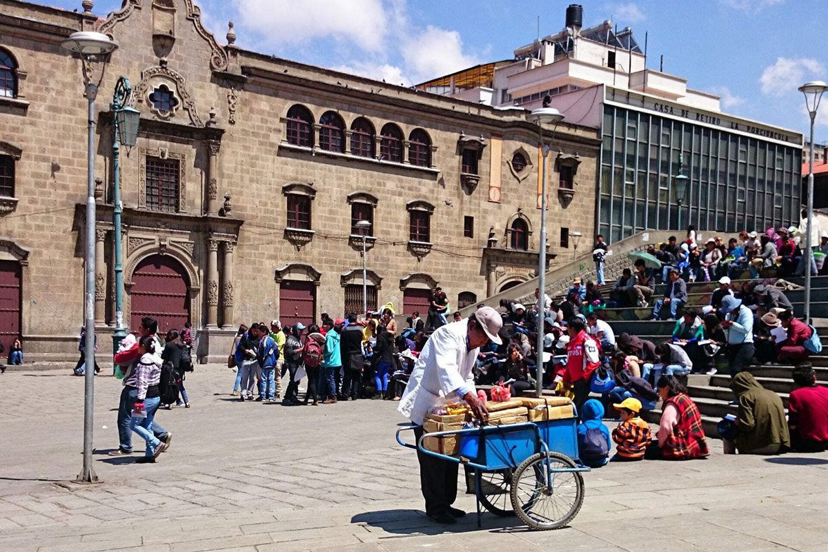
Day walk in the Palca canyon and see La Paz on a city tour, hotel.
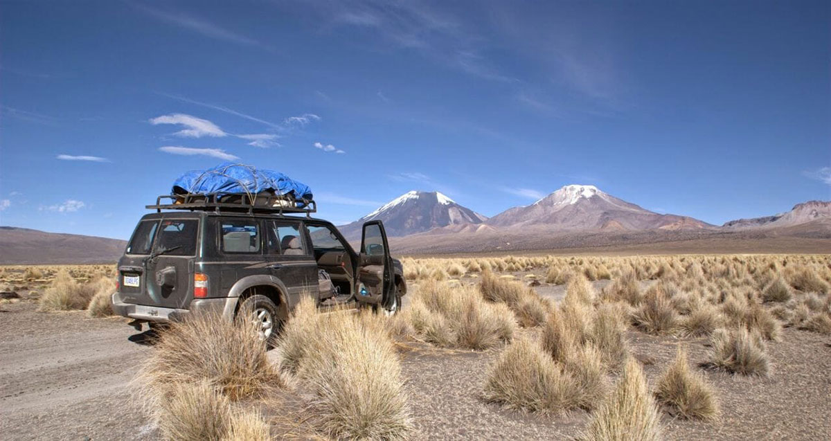
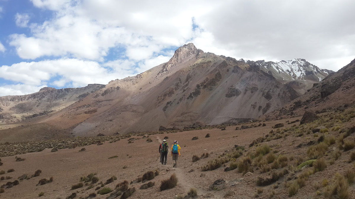
A two-hour journey by jeep brings us to the start of the trek just past the small village of Hichukhota on the shores of Lago Khota (4,460m/14,633ft).
We set off up the hillside to our first pass at 4,700m/15,420ft, taking around an hour.
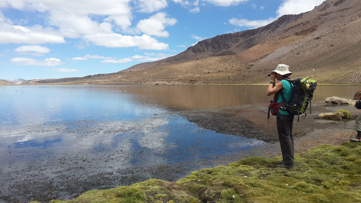
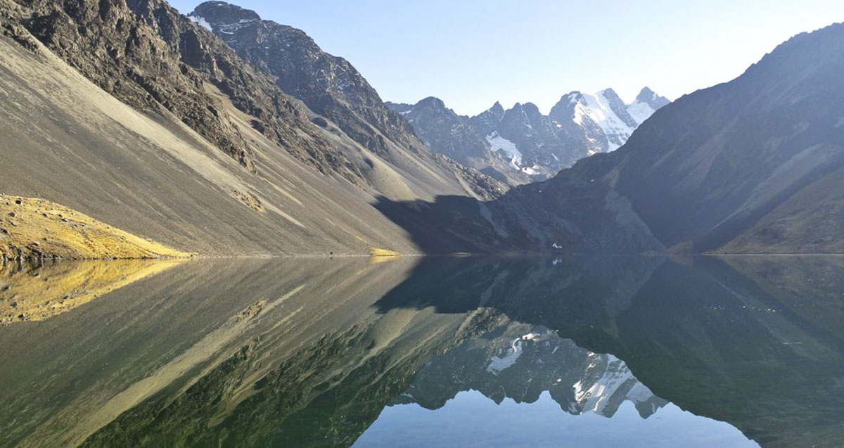
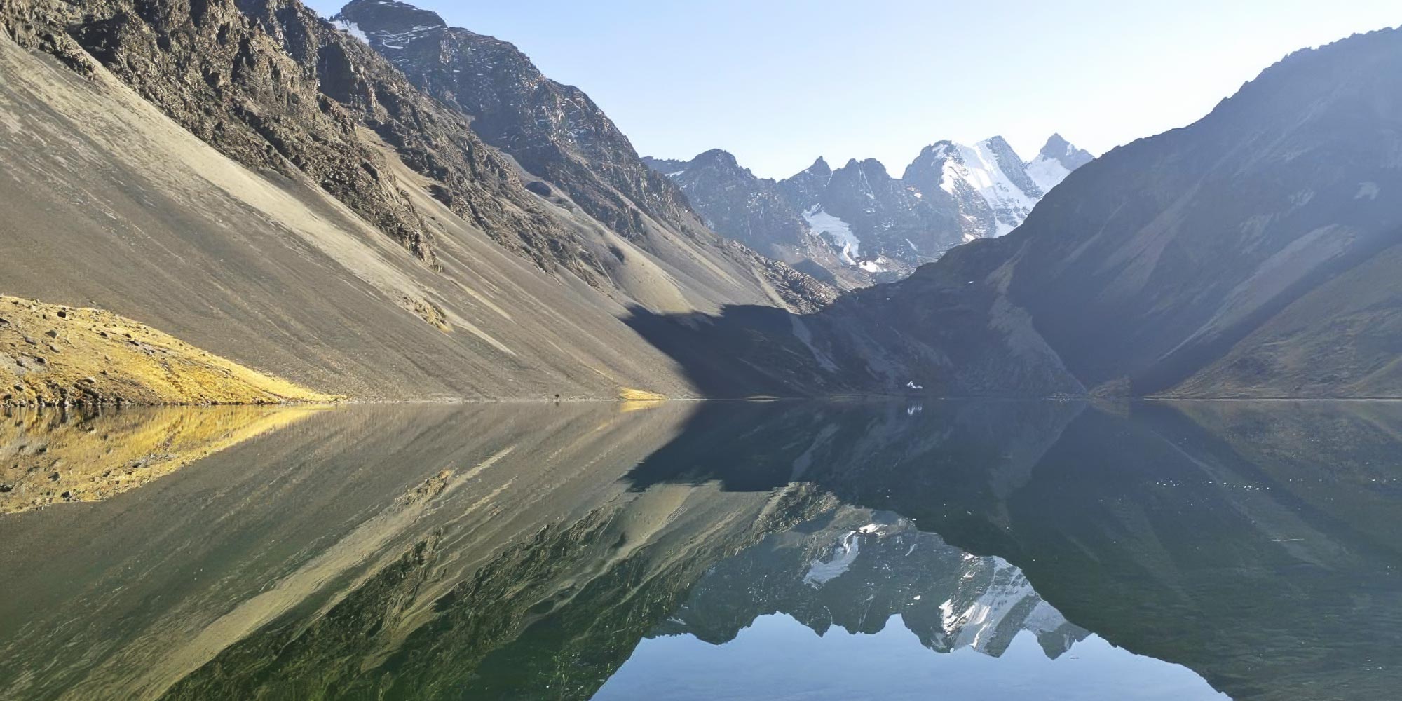
We descend for an hour and continue for an hour and a half to Laguna Ajwani (4,600m/15,092ft). This is a good spot for Andean birds, look out for the flicker, Andean geese, various ducks and coots, gulls and even the majestic condor.
Today we set off upwards towards the first pass of the day (4,850m/15,912ft), just an hour away, and descend for 45 mins to Lago Sistana (4,620m/15,157ft).
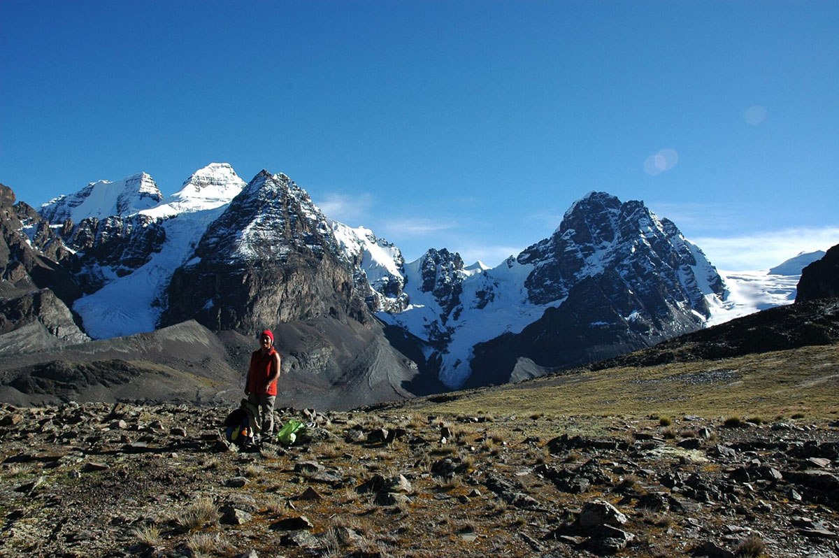
Trek on upwards over the next pass at 4,900m/16,076ft, one hour, and down the far side, 45 min to Lago Juri Khota (4,660m/15,289ft), enjoying superb views of Huayna Potosi.
This is a short walking day, allowing plenty of time to enjoy the scenery and wildlife of this remote Andean spot.
If you prefer it is possible to continue for another 3 to 4 hours to the next camping spot.
Set off upwards from the northern end of the lake, up a ridge of morraine to reach a suprb viewpoint after an hour and a half, and the pass after a further hour (5,000m/16,404ft).
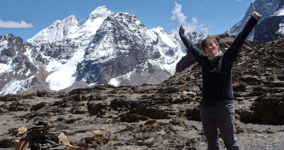
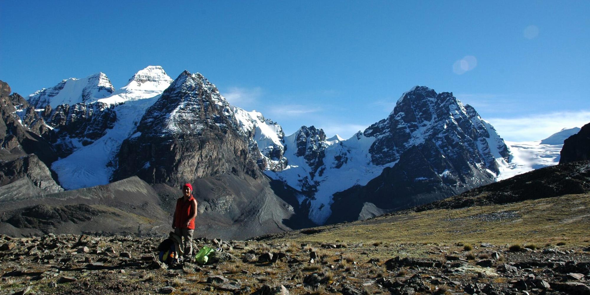
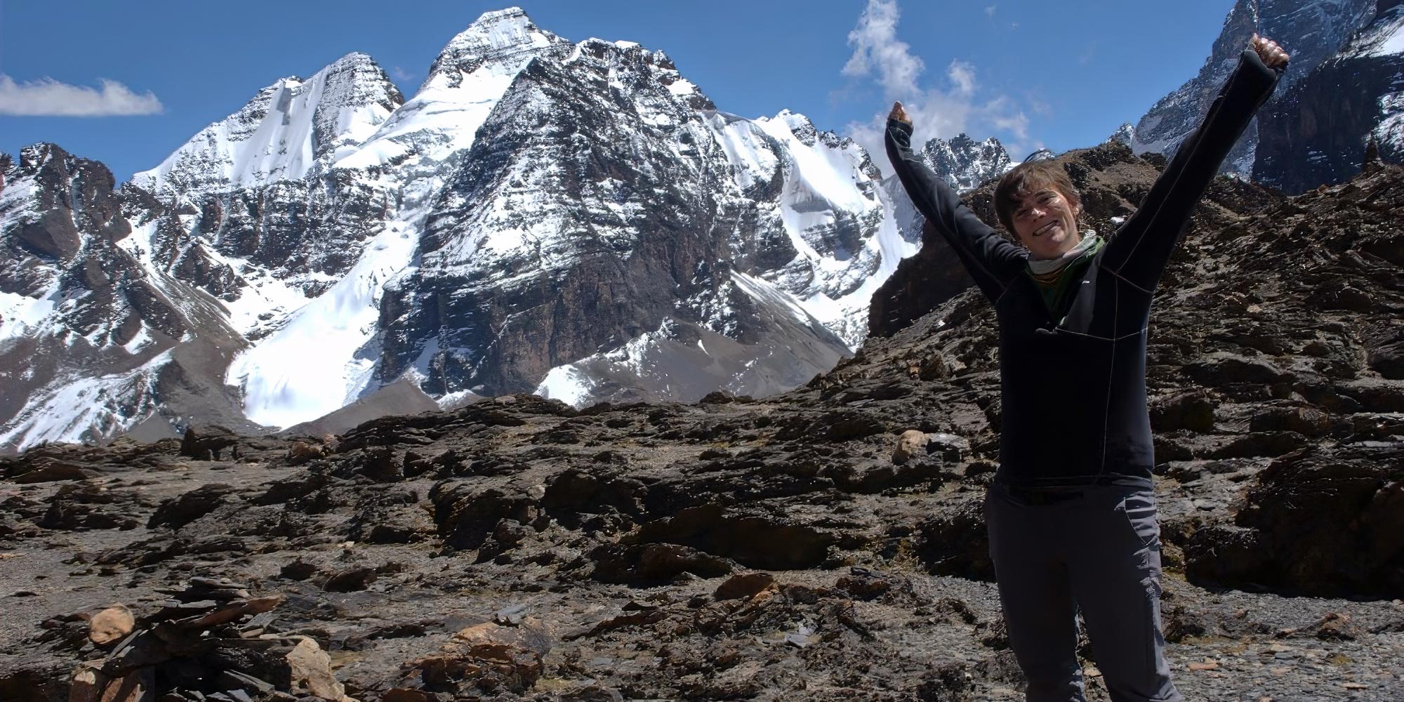
You are now overlooking Chiar Khota – the lake at Condoriri base camp, and have superb views of Cabeza del Condor and the Ala Izquierda peaks.
You can take a detour up the Pico Austria here (5,200m/17,060ft) taking an hour or so each way, before descending for an hour to the lake.
The final passes of the trek are both almost 5,000m/16,404ft.
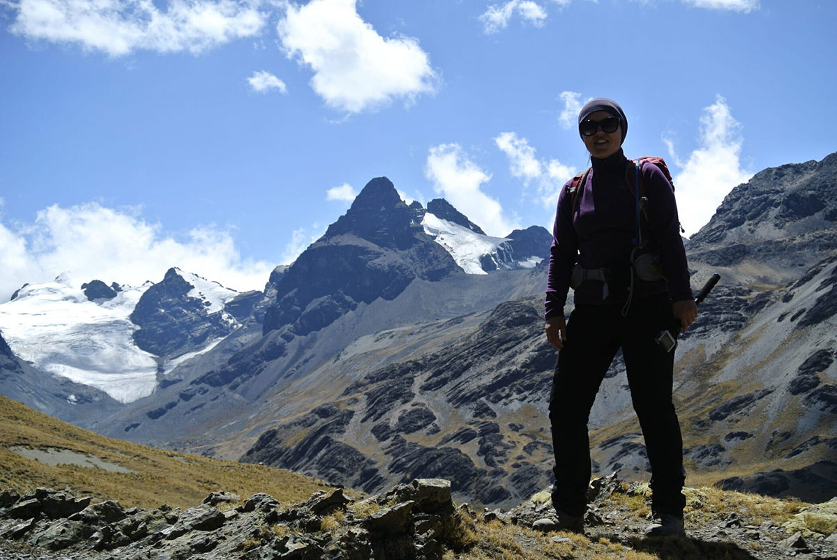
We head up to the first, Paso Aguja Negra (5,000m/16,404ft), from where you may just be able to pick out climbers on Condoriri or Little Alpamayo.
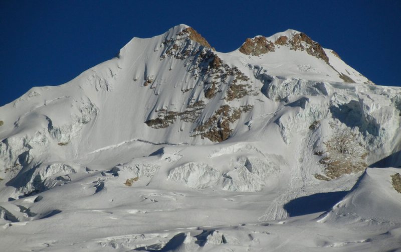
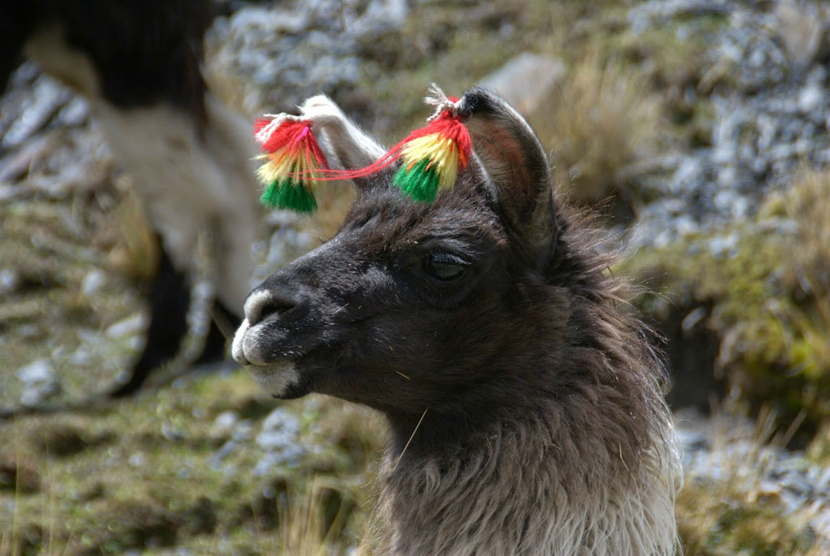
There are superb views all morning of the immense ice-covered lump of Huayna Potosi (6,088m/19,974ft) directly ahead. We descend grassy pastures, where many llamas and alpacas graze, then we finally reach to Maria Lloco, after walking fro some 6 to 7 hours.
Camp near the lake.
After breakfast departure from Maria Lloco to Huayna Potosi base camp, where we will arrive after 3 to 4 hours, lunch and pick up our vehicle which will meet us for the drive back to La Paz (2 hours).
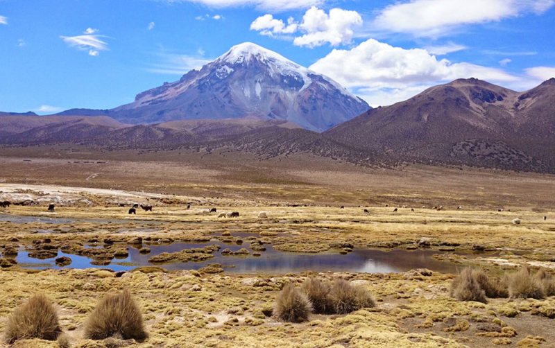
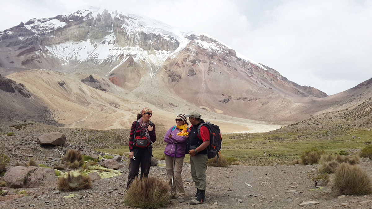
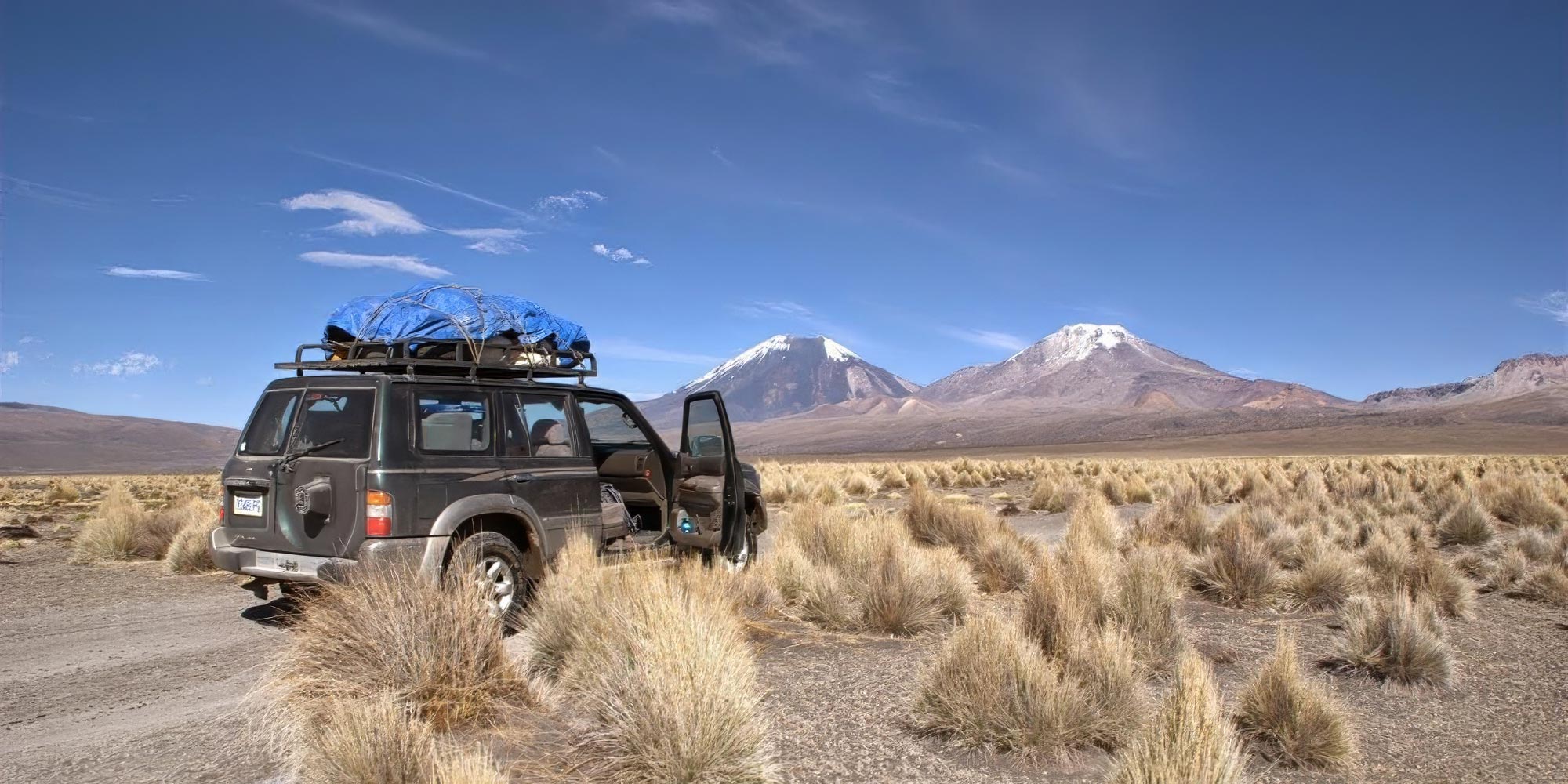
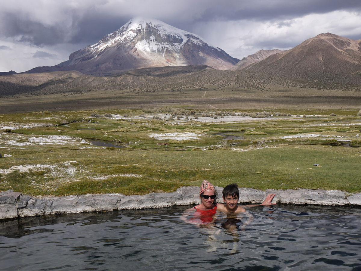
Sajama (6,542m/21,463ft), the highest mountain in Bolivia, is located in the volcanic Cordillera Occidental (Western Range), which flanks the western edge of the Altiplano and runs close to and parallel with the Chilean border.
Other important mountains in the range include Pomarape and Parinacota.
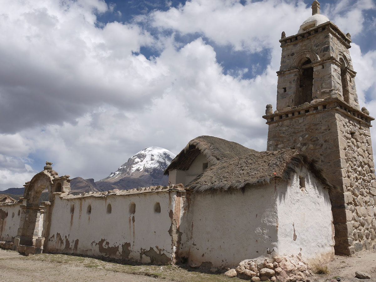
Today we drive on generally good roads. We head south from La Paz towards Oruro on the way visit the Calamarca church, then veer southwest at Patacamaya, then drive to Curaguara de Carangas town to visit the Church of the sixtheen century and continue heading west on the international Oruro-Arica road till we reach the village of Sajama.
Trekking approach for 3-hour on sandy terrain to our base camp.
Today’s ascent is slow and gradual as we negotiate a gully of loose boulders.
After some 6 hours we reach our high camp (5,500m/18,045ft).
A long and tiring day should see us summiting (weather permitting) after about 8 hours.
We return to camp.
It’s a 3-hour descent to Base Camp and a trek to Sajama.
Total walking time is 6 hours.
Rest in the afternoon and night in the village of Sajama.
Bad weather/rest days, Sajama.
Early in the morning drive to Parinacota base camp.
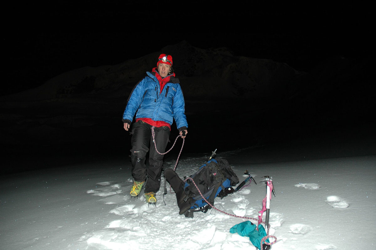
Then trek to 5,500m/18,044ft, then onto the snow.
Summit and return to the base camp.
Night in base camp or Sajama Village.
Transfer Sajama La Paz, Hostal Naira.
Transfer out to airport, ends.
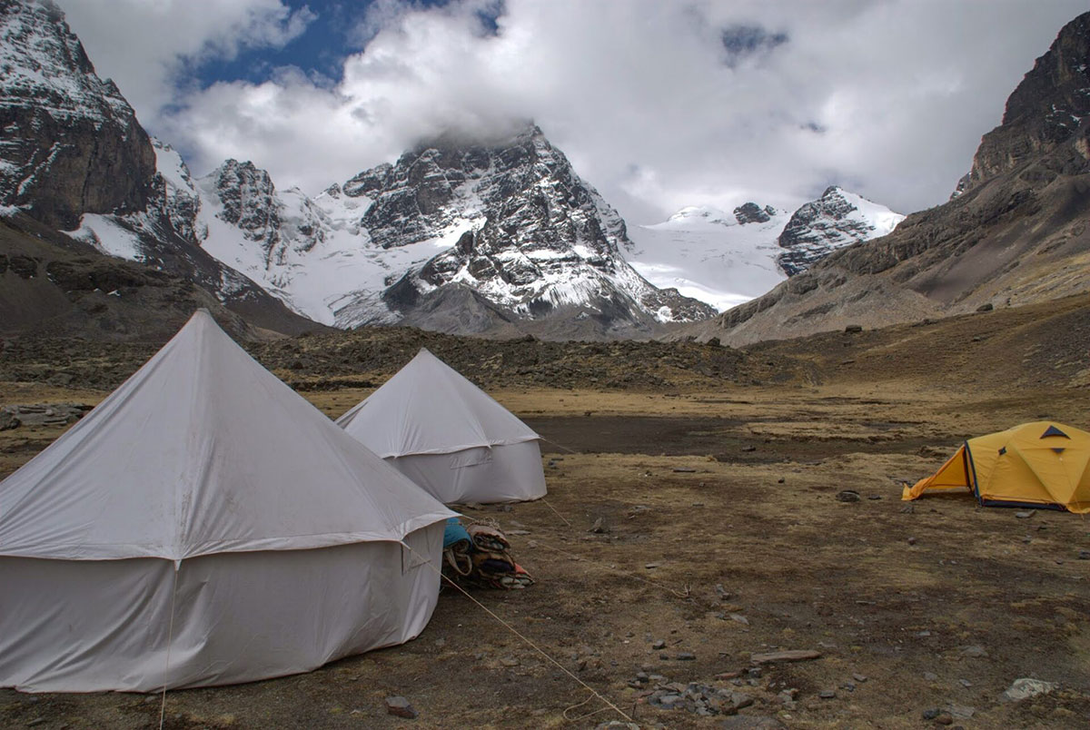
When camping we use two person lightweight tents with a dining tent and toilet tent.
We use 2-3 star hotels in La Paz with private bathrooms.
Accommodation in Sajama is more rustic, but rooms are private with en suite bathrooms.
We have classified this trek as strenuous. We trek approximately five to eight hours per day with several long ascents and descents at very high altitudes.
In order to get the most out of the tour you should be in a very good physical condition as this trek is very long, in remote areas and involves many consecutive days of trekking at high altitudes.
You will be above 4,500m/14,764ft for most of this itinerary, and scaling peaks over 6,000m/19,685ft, which places a lot of stress on the body.
You will carry your personal items in a day pack, and when trekking pack animals will take your main luggage. This must be waterproof – or pack your things inside plastic bags. Keep the weight down as much as possible.
Vegetarians and many other dietary requirements are catered for without problems. Please let us know in advance of any requirements you have.
There are a range of international and Bolivian restaurants to choose from in La Paz.
On the trek, all equipment is transported for us and meals are prepared by our local cook.
You wake early, usually around 07.00. Breakfast is served in a dining tent, and consists of hot drinks, porridge, toast, jams and bread, and your guide will explain the day’s trekking plans.
Lunch is usually around 13.00 and can feature soups, meats, salads and fish, with vegetarian options and hot drinks too.
The campsites are comfortable and around 17.00 hot drinks, popcorn and other snacks are served to help you recover energy.
Dinner is served around 19.30, and will feature pasta, quinoa, mashed potatoes, meat, fish or vegetarian options, followed by hot drinks and a pudding.
You will be accompanied by trekking and / or mountaineeering guides, depending on your exact itinerary.
You will also travel with an assistant and a cook and mule drivers from the local communities.
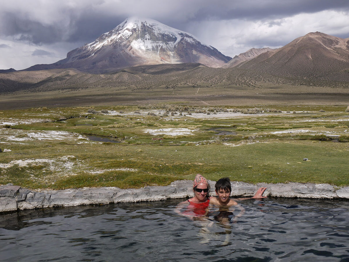
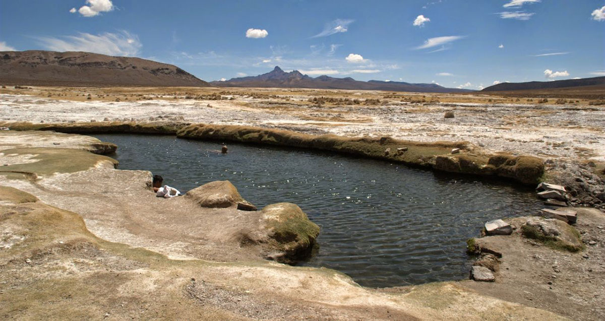
A breathtaking off-the-beaten-track journey through Bolivia’s Sajama, filled with wildlife, hot springs, and Andean majesty.
A perfectly organized five-week adventure through Argentina, Bolivia, and Peru, blending remote trekking, rich culture, and unforgettable encounters.
We bring you to the best Andean mountain ranges in Bolivia with our unique trekking and climbing holiday.
First, we warm up with a walk amid the great chain of majestic peaks of the Cordillera Real, our Condoriri trek,
Next, we head to Sajama and Parinacota are two stunning high mountain wilderness areas situated near the border of Bolivia and Chile.
Both are huge peaks over 6,000m, with Sajama being the highest peak in Bolivia at (6,542m/21,643ft).
This fully guided and supported trip offers you the opportunity to climb both these amazing volcanos.
You will be in the company of our fully experienced mountain guide and English-speaking assistant.
For trekking fans who want to enjoy the best high altitude walking in Bolivia – this is it.
From: $1585 per person
Duration
5 days
From: $3300 per person
Duration
15 days
From: $2099 per person
Duration
6 days

Land-locked Bolivia is a country of dramatic landscapes and fascinating native cultures and traditions.
The Altiplano or “High Plain”, averaging 3,800m, is its most populous region. The vast, luminous plateau is flanked to east and west by parallel Andean ranges.
La Paz, the world’s highest capital, lies in a deep canyon at the edge of the Altiplano, and at the foot of Illimani (6,400m). It is a striking city for its dramatic setting and its strong Indian character.
Lake Titicaca is the world’s highest navigable lake. It was sacred to the Incas; according to legend, their founding emperor-gods rose from these waters to give birth to their empire. Just south of the lake stands the sacred pre-Inca site of Tiahuanaco.
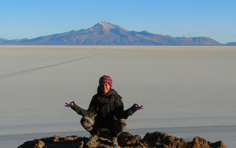
On the south-western Altiplano are the Uyuni Salt Flats, the largest in the world. Here, the shimmering white salt pan and deep blue sky combine to create a truly magical spectacle.
The stunning Cordillera Real is a mountain range dominated by huge snow peaks, including Illimani and Illampu (6,380m). The Real divides the northern Altiplano from the tropical forests to the east. The Cordillera Real’s eastern slopes are characterized by the deep, sub-tropical Yungas gorges.
Further south, the tropical Chapare is the agricultural heart of Bolivia. East of this band of high forests and plantations lies Bolivia’s Oriente, a vast swathe of Amazonian jungle and savanna accounting for 2/3 of the country and featuring some of the last untouched wilderness on earth.
In the north-eastern Department of Beni, some 50% of the country’s mammals and birds reside. Below, and in no special order, we outline some of the top places to go and things to do.
Good kit is vital for every trip.
Book with Andean Trails and get 15% off Páramo’s fantastic ethical and high performance outdoor gear.
When planning for the extreme climatic conditions encountered on high peaks in the Andes, layering is the most practical and versatile clothing system. It’s worth remembering that our clothing keeps us warm by retaining and isolating the heat we ourselves create.
To best maintain body heat, several layers of lightweight, warm and quick-drying clothing are far more efficient than one or two thick layers.
Layers should have the following qualities:
First (base) layer: This layer wicks the sweat away from our skin, thus helping keep the body dry and warm. To this end, synthetic fabrics such as polypropylene should be used.
Mid layers: These isolating layers should also be synthetic (e.g. the known polar linings such as polartec or windblock, which are light and insulate twice as well as wool). Very important layers for retaining body heat.
Outer layer / shell: Finally, the vital layer which protects us from climatic adversities. A breathable, wind-proof and waterproof anorak, such as Goretex.
Note that it’s our extremities that stand to suffer the most, and on high Andean peaks the poorly-equipped mountaineer is at risk of becoming frostbitten. Hence, much thought should be given to deciding how best to protect hands, feet and head.
Give plenty of thought to kit selection, and try to keep weight down.
Below is a more detailed guide.
For the extreme cold, we recommend a 3-layer scheme:
All other non-personal trekking and camping equipment is provided, e.g. tents, cutlery etc.
Bolivia lies within the tropics, between latitudes 10º and 22º south. The climate, as varied as its geography, is affected by latitude and, especially, by altitude.
The best time to travel is the winter (dry season) between May and Oct when, typically, weather systems over the Andes are stable, and overall you can expect bright sunny days and cold clear nights. Most of the rain falls from Dec to March. Climate can be divided into these distinct zones:
There is relatively little precipitation on the Altiplano, especially in the dry season – most rainfall is from Dec to March. However, there is periodical, localised rain on high peaks and valleys all year round.
The further south and west you go on the Altiplano, the drier are the conditions; around Uyuni, semi-arid conditions prevail. The Andean sun’s rays are very strong.
Temperature-wise, the Andes and Altiplano experience significant fluctuations over a single day. At 4,000m, the pre-dawn temperature can drop to -15ºC, while noon temperatures at the same location can reach 20ºC.
Southerly cold winds mean the southern Altiplano is not only drier, but also noticeably colder and windier than the north (pre-dawn temperatures at Uyuni in July regularly drop to -20ºC).
On treks in the Cordillera Real in the dry season, expect a range of conditions within a single day: cold/freezing nights at camps above 4,000m (where pre-dawn temperatures sometimes reach -15ºC); warm, spring-like mornings and afternoons; and cold evenings. Conditions are generally dry, but note that mountain weather is fickle and localised, and precipitation is not unusual in the dry season.
Expect temperatures to swing between sun and shade, sheltered and exposed ground and with altitude gain and loss. A quick-setting sun means temperatures drop fast.
The city of La Paz (3,630m) is relatively sheltered. Average high/low temperatures range from 1-17ºC in June and July (coldest months) to 6-19ºC in Nov and Dec (warmest months). In June and July, it rarely rains more than 1 or 2 days per month, while in January there are on average 15 wet days.
Year-round, weather conditions in the Amazon basin are hot and humid and always with the chance of rain.
There is a ‘cooler’, drier winter season between May and October. During this ‘dry season’, the average daytime high temperature is between 25-31°C and the average nighttime low is between 16-22°C.
In the dry season, heavy downpours typically occur every few days.
Note that around 80% of annual average rainfall – approx 2,000 mm in Bolivia’s northern lowlands – occurs in the wet season, Nov-April.
On rare occasions, between May and September, cold fronts from Argentina – surazos – can sweep into southwest Amazonia and push temperatures down to 9°C. (Surazos usually last between 1 and 3 days).
The Yungas shares the same dry/wet months but varies from quite wet to very wet depending on whether it is the ‘dry’ or rainy season. Average temperature is 24°C.
A breathtaking off-the-beaten-track journey through Bolivia’s Sajama, filled with wildlife, hot springs, and Andean majesty.
A perfectly organized five-week adventure through Argentina, Bolivia, and Peru, blending remote trekking, rich culture, and unforgettable encounters.