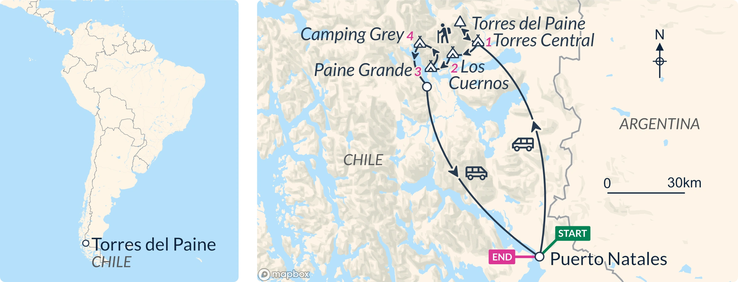
Starting from Puerto Natales at 07.00, we drive two hours to Torres del Paine National Park, passing Estancias (ranches) and flat pampas taken straight from Patagonian folklore.
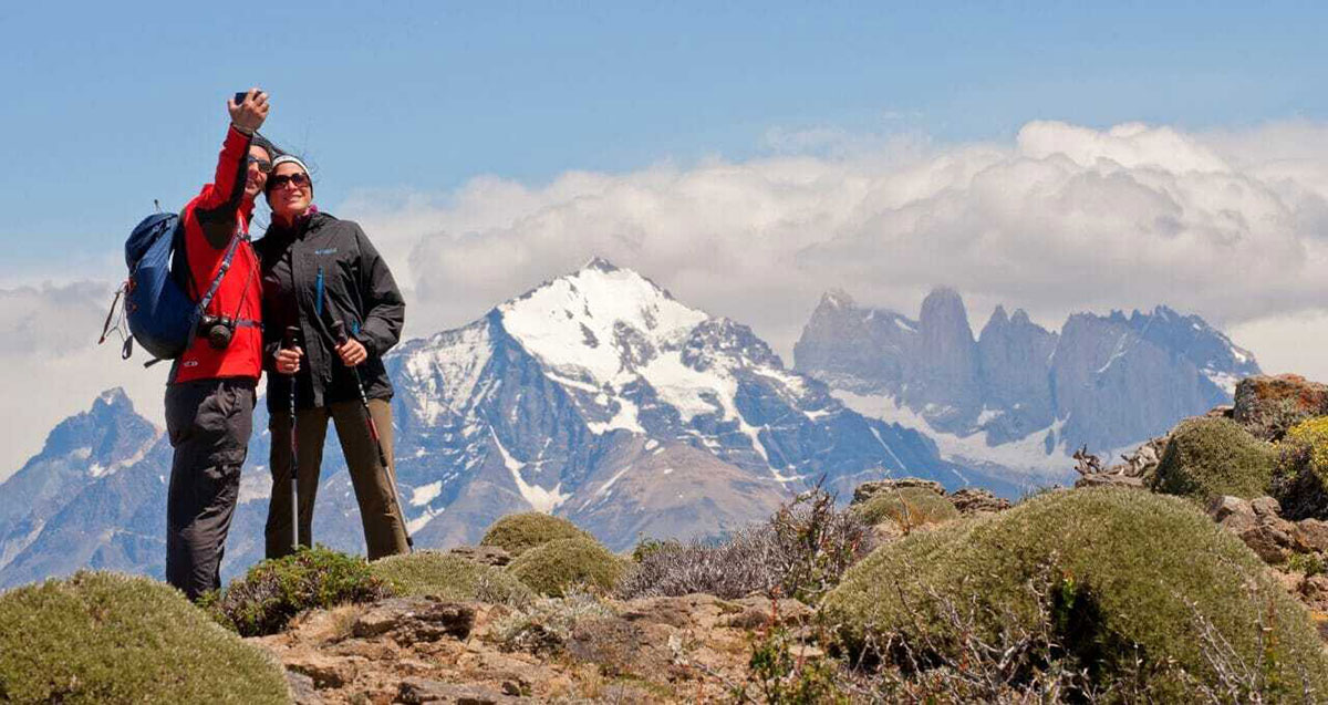
Have your camera ready en route: ñandu (Patagonian ostrich), Chilean flamingos and black-necked swans are likely to be out in the pampas and lagoons. After arriving at the first Refugio you’ll have time to leave your main backpack and take just a small backpack for the day, before we begin the W Trek’s first highlight: the hike to the three Towers lookout.
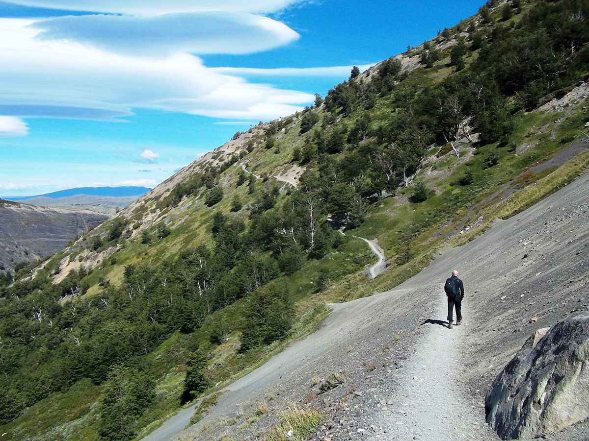
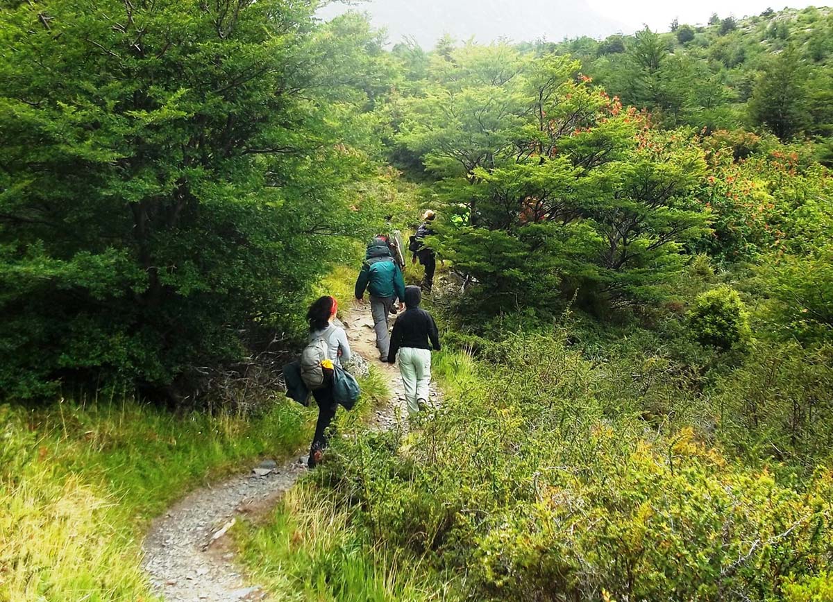
The trek begins with an ascent, following the Ascencio River in the Ascencio Valley. After about an hour, we’ll stop to observe how the valley’s beauty unfolds with rich beech forests, glaciers and waterfalls.
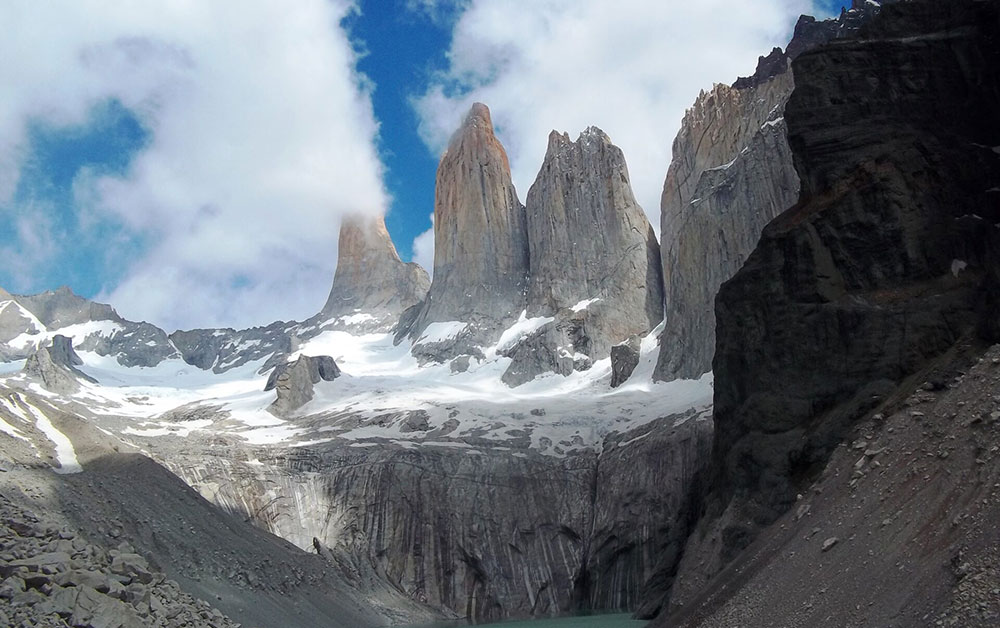
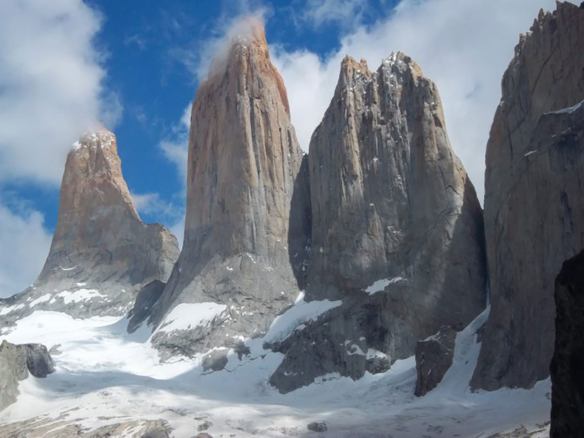
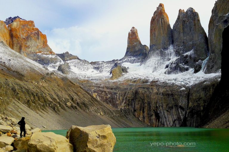
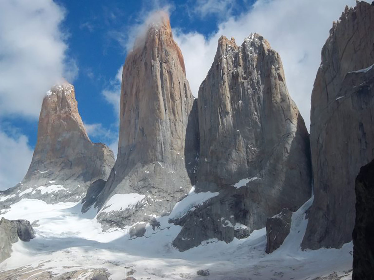
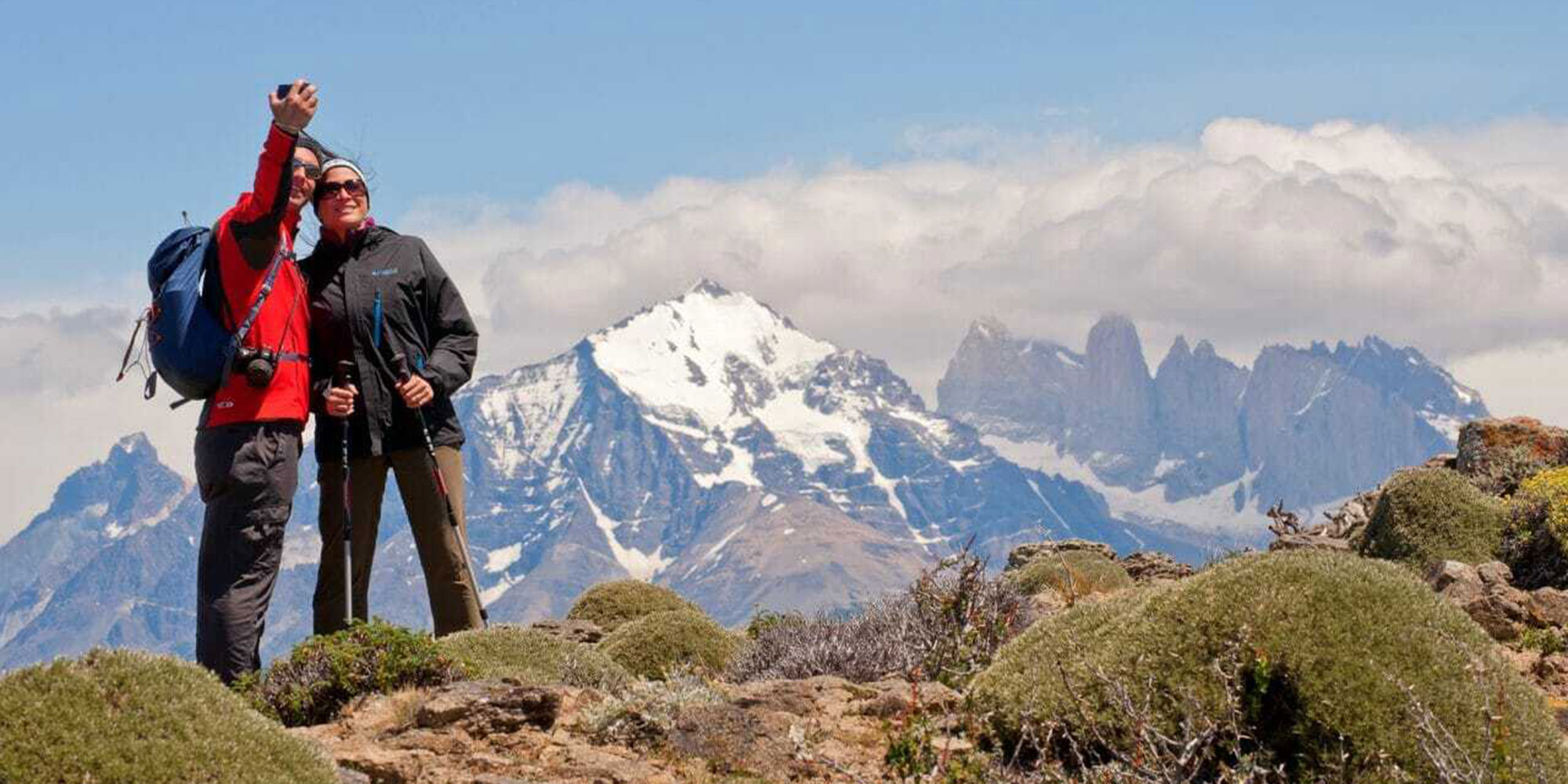
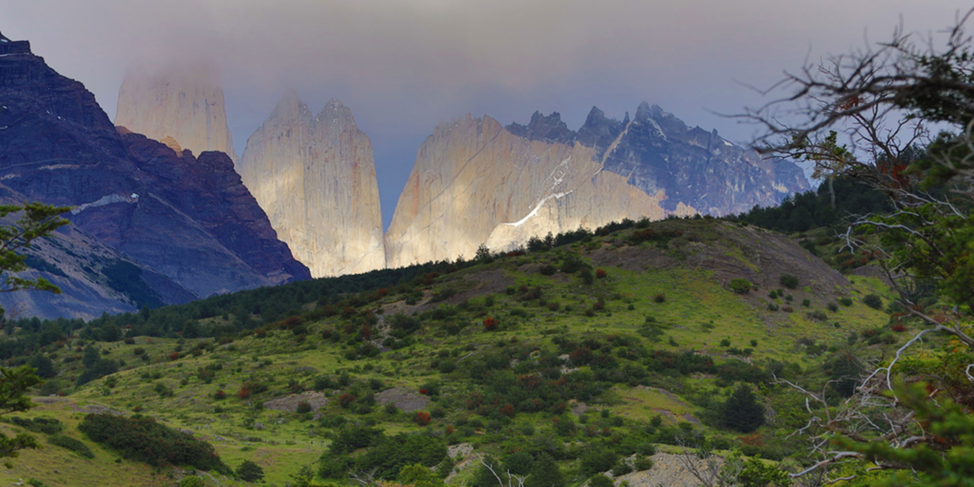
Past this lookout point, we continue uphill and through lush beech forests before ascending a gigantic terminal moraine where we’ll be rewarded by the arresting sight of the three Towers themselves. At this lookout point (900m / 2,953 ft.) above sea level, we’ll rest, take photos and have lunch.
Our descent is along the same path, taking us back to the Refugio where we’ll have dinner, stretch and rest for the evening.
Hiking: 8-10 hours, 22 km / 13.6 miles
Highest altitude: 870m/2,854ft
Difficulty: Medium/hard
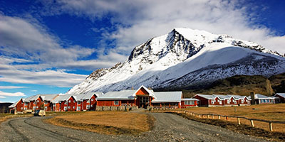
Accommodation: Camping or Refugio Torre Central. Option to upgrade to a private room in Hotel Las Torres (depending on availability).
Meals included: boxed lunch, dinner
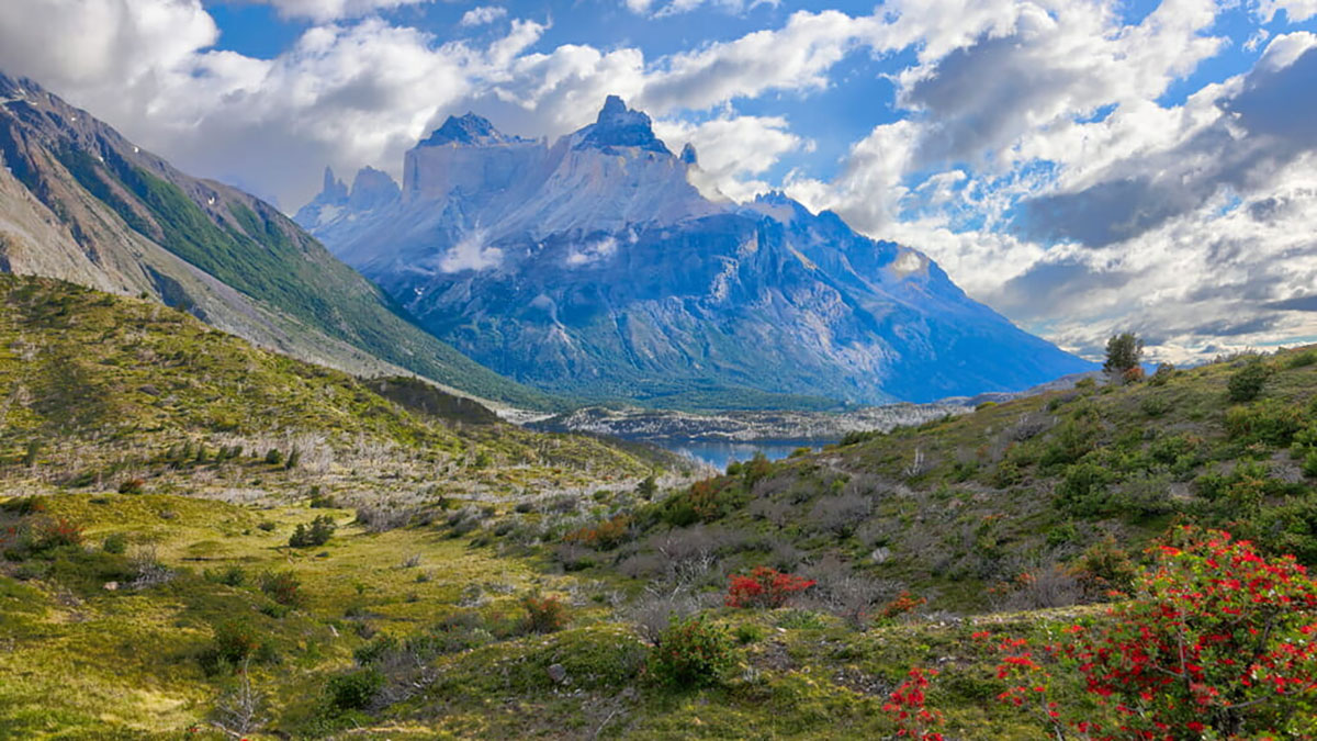
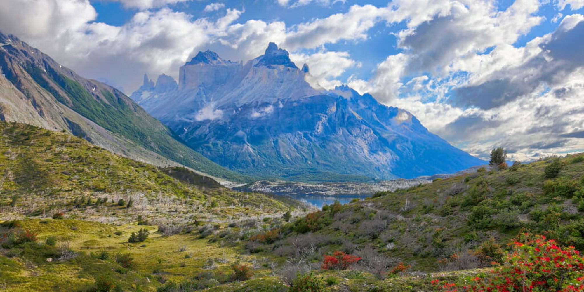
If the weather allows, our morning may be lit by the rich oranges and pinks of a Patagonian dawn. Today we’ll hike to Los Cuernos lookout, where monumental horn-shaped black twin granite peaks shoot skyward.
We’ll make our way via Inge Lagoon and may see condors and other birds of prey circling the skies while we trek below.
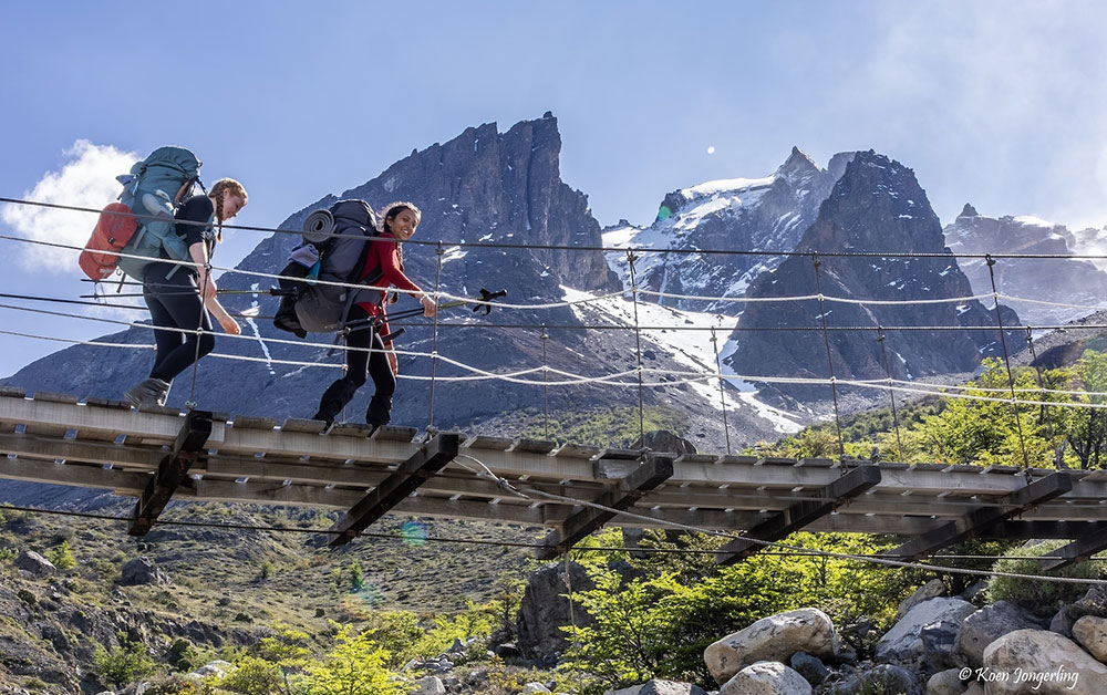
The well-marked trail ascends 200m from the base of Almirante Nieto Mountain (2,750m / 9,022 ft.) and crosses the Bader River to Refugio Los Cuernos or Domos Frances, today’s destination.
Hiking: 4-5 hours, 13 km / 8 miles
Altitude gained: 200m/656ft
Difficulty: Medium
Accommodation: Camping or Refugio Los Cuernos or Domo Frances, depending on availability. *Option to upgrade to a private cabin in Los Cuernos (depending on availability).
Meals included: Breakfast, boxed lunch, dinner
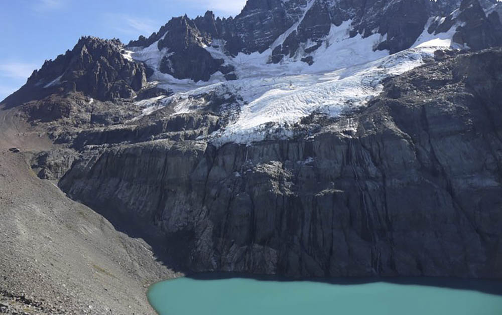
Today’s hike is a challenging trek to the heart of the Paine massif. The French Valley is a spectacular natural basin surrounded by peaks and hanging glaciers.
After breakfast, a winding path will take us to the French River (1-2 hour hike depending on whether our accommodation was at Los Cuernos or Domos Frances). At the entrance to the French Valley – a glacial moraine – you’ll scramble over huge boulders and catch the first sight of the hanging glacier atop the valley.
From this point, you’ll ascend for an hour through a dreamlike Japanese garden landscape before arriving at the French Valley viewpoint (the “Plateau”). Your reward is a heart-stirring bird’s eye view of granite peaks and hanging glaciers.
To one side, the French Glacier and Paine Grande (3,050m / 10,006 ft.); while to the other, La Espada, La Hoja, La Máscara and the main and north “horns” of Los Cuernos arch upwards. In the upper section of the Valley, Cerro Catedral, and Cerro Fortaleza loom like turrets above the landscape.
Take your time to have lunch at the viewpoint, surrounded by these imposing peaks and open skies.
You’ll descend via the same path until you reach the valley’s entrance, at which point you’ll continue around the south-west side of Paine Grande, Torres del Paine’s highest peak. This final leg passes through native firebush and evergreen beech forests to the shores of Pehoe Lake.
Dinner will be served at Refugio Paine Grande where we rest for our third night.
Hiking: 8-9 hours, 18 km / 11.2 miles
Highest altitude: 762m/2,500ft
Difficulty: Medium/hard
Accommodation: Camping or Refugio Paine Grande
Meals included: Breakfast, boxed lunch, dinner
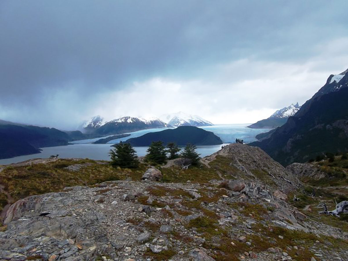
We’ll set out early, ascending 200m (656 ft.) on the winding path that takes us to Laguna Negra. Here, we’ll see sections of the massive Southern Patagonian Ice Field, a geological phenomenon that still guards many unexplored peaks.
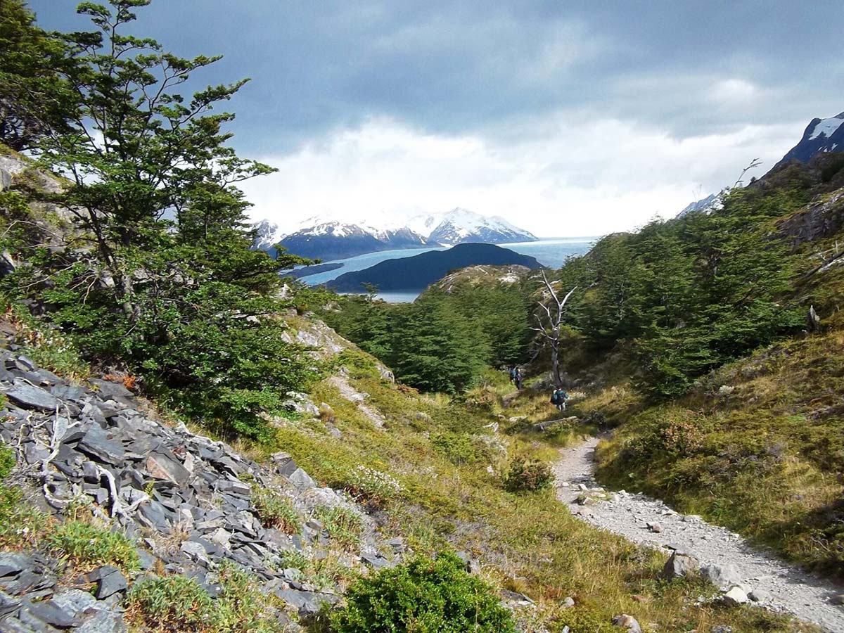
You’ll continue to Grey Glacier’s lookout point, passing forests and rivers, with possible sightings of the spectacled and flightless steamer ducks that live here.
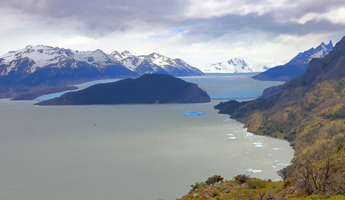
We’ll have lunch at the lookout with the mammoth Grey Glacier at our feet and might be lucky enough to catch sight of ice calving from its huge walls into the freezing waters.
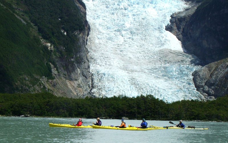
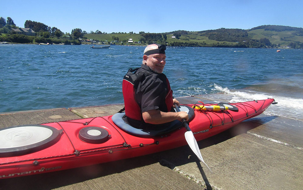
Kayaking: Today, there is the option to go on 2.5 hour kayaking excursion (advance booking required).
Hiking: 4 hours, 11 km / 6.8 miles
Highest altitude: 495m/1,624ft
Difficulty: Easy/medium
Accommodation: Camping or Refugio Grey
Meals included: Breakfast, boxed lunch, dinner
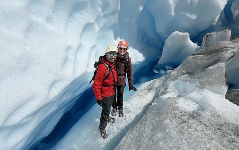
Today starts easy with a free morning to stretch, relax and enjoy this amazing glacial landscape. You also have the option to go kayaking or ice hike on Grey Glacier (advance booking required).
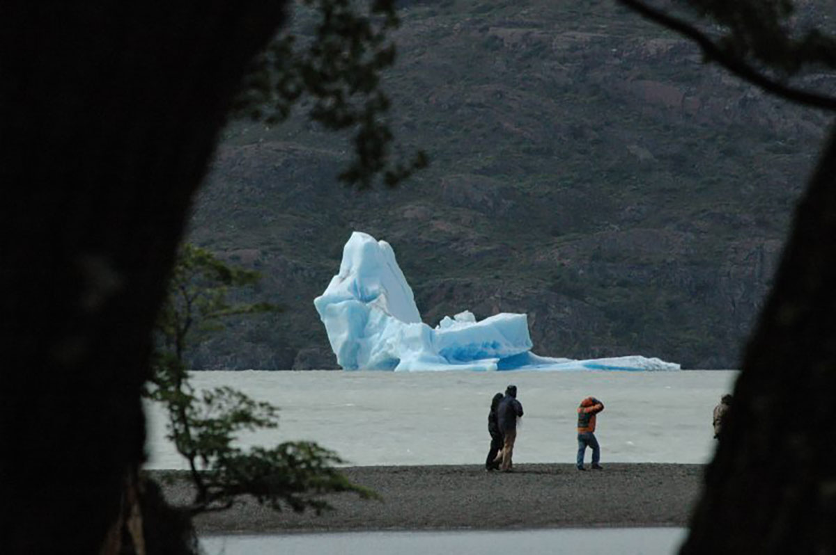
After lunch we’ll set off by boat across Grey Lake, to the massive facade of Grey Glacier. We’ll stay for a while to observe the ice wall’s textures, lines and amazing colours – and of course, watch for ice calving.
On your return across the lake you’ll see the wind-sculpted “ice mushrooms” atop the massive peaks of Paine Grande, as we sail past blue-hued icebergs.
On dry land once again, we’ll hike 20 minutes along Grey Beach to meet our transfer which takes us back to Puerto Natales where we end our journey.
Activities: 2-hour boat trip, 20 minute hike
Difficulty: Easy (ice hike: medium)
Accommodation: None. We can book hotels in Puerto Natales on request.
Meals included: Breakfast, boxed lunch
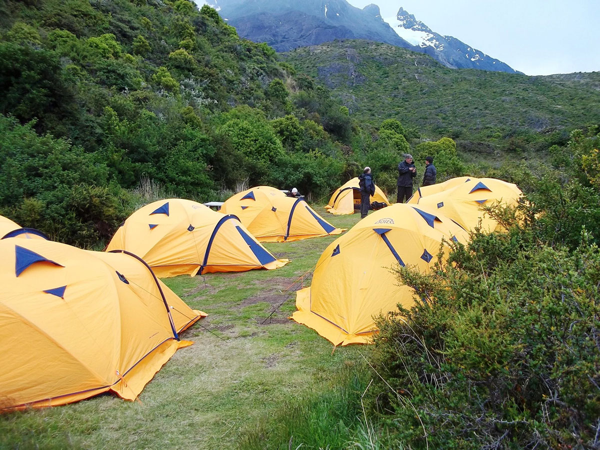
Choose between camping, mountain hostels (refugios), and two nights at Hotel Las Torres. The guided trip also offers optional upgrades (subject to availability) throughout.
Campers and hostellers have access to the same shared facilities.
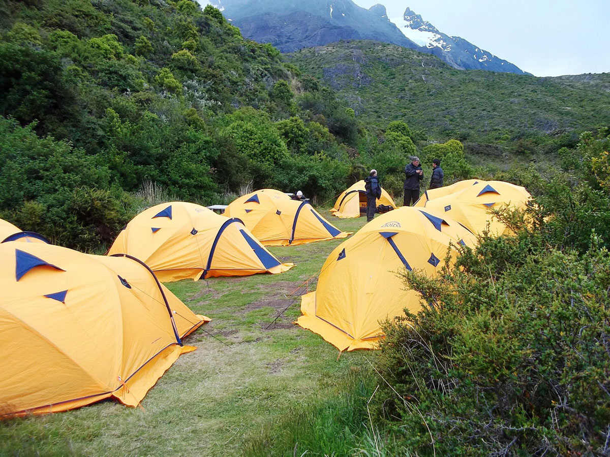
Camping: The tents arranged for this program are typical mountain tents that are set up ready for your arrival and come with a sleeping bag and mattress.
Hostels: Mountain hostels, called refugios, have bunk beds in rooms that are shared with up to six other travellers.
Facilities at campsites and mountain hostels (refugios)
Shared bathrooms with toilets and hot showers, shampoo, soap, WiFi, shop/kiosk, restaurant and bar.
This is a moderate to challenging Torres del Paine W trek with some long ascents and descents. The total distance covered is 47 miles / 75.5km over four trekking days.
This is the right trip for energetic people who like to be active and have a spirit of adventure and a positive attitude. To enjoy this trek, it is essential to be in shape before arriving.
It is not wise to regard this trek as a means of getting into shape or losing excess weight. Start a program of conditioning well before departure.
We can cater for almost all dietary requirements – please enquire for more information.
Campers and hostel guests eat breakfasts and dinners in a communal dining hall. Breakfasts usually feature a mix of hot drinks, cereals, fruits and toast with jams.
Hikers receive boxed lunches from the site where they stayed and may feature sandwiches, crackers, snacks, and energy bars (the exact menu depends on the lodge). Dinners vary, too, often featuring pasta or rice dishes.
We recommend trekkers can take extra snacks with them before the hike or purchase items at hostel kiosks.
For the guided trip, we employ local, English-speaking hiking guides to lead you through Torres del Paine National Park. They will explain the flora, fauna, and history of the area with you.
You carry your own belongings in your backpack – we suggest a maximum of 15kg.
An unforgettable photography and trekking adventure through Chile and Bolivia’s breathtaking deserts, salt flats, and high-altitude wonders.
An inspiring Argentina adventure combining tango, trekking, and breathtaking Patagonia landscapes with flawless organization.
Don’t miss any part of Torres del Paine National Park’s W hike — you’ll visit the Towers of Paine, the French Valley, Lake Nordenskjöld, and Grey Glacier.
Discover the wide-open spaces of Torres del Paine National Park on this W trek, and let us do the logistics.
Guided Trek: Regular departures hiking with a group and local guide (max. 8 people per group), with all logistic covered, camping or refugios, and optional upgrades throughout. Bring your own sleeping bag liner and towel.
Prefer to go at your own pace? Check our self-guided Paine W treks: We’ll do the logistics, reserving the buses, entrance fees, ferries, and meals, so you can concentrate on hiking.

For both, choose to stay in fully equipped campsites or mountain refuges/hostels where everything is ready for you upon arrival. There are hot showers, warm meals, and campsite chat from fellow trekkers to enjoy. Read all about how it works with Kat’s insightful Paine W trek review.
You carry your own belongings in your backpack for both options; we suggest a maximum of 15kg.

Walk to the famous granite towers that give the park its name — Torres del Paine — with fantastic views of hanging glaciers, green lakes, and mountains.
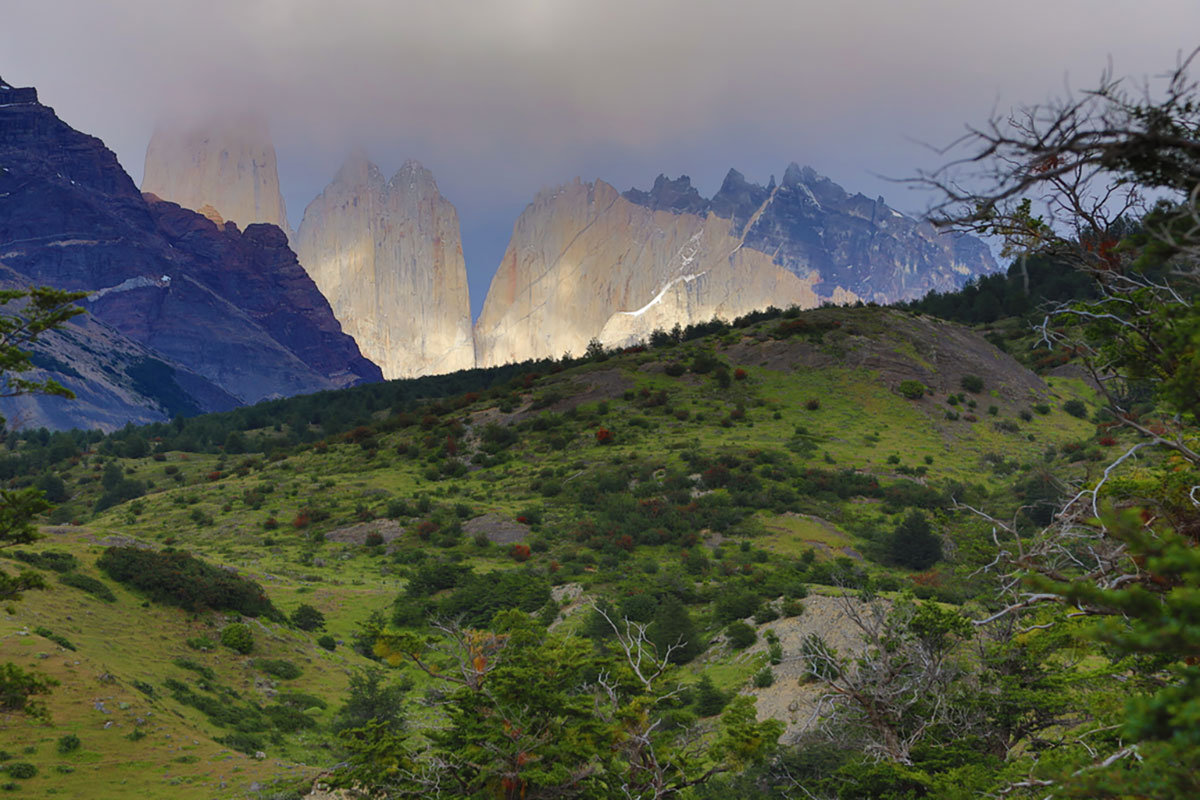
The name Paine comes from a Tehuelche Indian word meaning blue. The Torres – or Towers – are named after three spectacular granite peaks, the highest reaching 2,900m/9,514ft, that form the centrepiece of Torres del Paine.
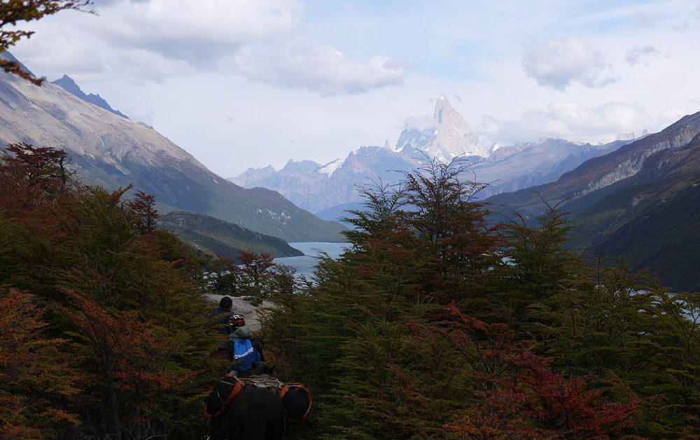
Next, you’ll trek along the shore of the magnificent Lake Nordenskjöld, which offers stunning views over the Patagonia landscapes.
The park’s heart is the French Valley, where forests line rushing streams overlooked by the hanging glaciers of nearby mountains. Finish at Glacier Grey, whose crystal blues are made more striking when enormous chunks of its ice calve to form icebergs in the lake below.

We make all the Torres del Paine W Trek reservations for you, including campsites, mountain hostels, and meals, so you can enjoy the sights. You can join a group for the hike or form your own private departure; this in the Paine W as you want it.
This Torres del Paine W trail route runs east to west, but it can also be run in the opposite direction.

From: $3652 per person
Duration
13 days
From: $4719 per person
Duration
15 days
Southern Patagonia (latitudes 49° to 55°), encompassing the southern Andes of Chile and Argentina plus Tierra del Fuego, has an altogether more vertical aspect than the rest of Patagonia.
As the continent tapers towards its southern point, the Andes take on new characteristics and offer some truly impressive panoramas.
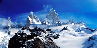
Much of southern Patagonia is characterized by virgin landscapes where man’s hand has either not been present or, because of the scale of the landscapes, goes almost unnoticed. To the west of the semi-arid Patagonian plateau, mile-high granite spires – e.g. Cerro Torre and Fitzroy in Argentina and the Torres and Cuernos del Paine in Chile – rise abruptly from the Andean foothills, while vast blue glaciers, fringed by southern beech forest, gouge out thevalleys below.
At the heart of these magnificent landscapes lies the South Patagonian Ice Field, an utterly remote icy wilderness spanning hundreds of kilometers, whose glaciers – including the Perito Moreno and Upsala – are tens of kilometres long by severalkilometers wide.
Also characteristic of the southern Patagonian Andes are its turquoise, iceberg-filled lakes. To the west lies the southern portion of the Chilean Archipelago, comprising snow-capped islands and fjords.
Across the Magellan Straits from mainland Patagonia lies Tierra del Fuego which, like the rest of Patagonia, is divided between Argentina and Chile.
The north and east of Tierra del Fuego is flat, but flanking the Beagle Channel in the south, the tail end of the Andes provide very dramatic mountain scenery.
The Lake District (latitudes 40° to 45°) or the Araucania, is a region of dramatic conical volcanoes, evergreen, high-canopy forests and, of course, lakes.
It straddles the Chile-Argentine border, and also takes in Chiloe island, in the extreme north of the Chilean Archipelago. This region stretches from Temuco in the north to Chiloe in the south.
Central Patagonia (latitudes 45 to 49) is one of South America’s best-kept secrets. The vast wilderness area can be divided in two:
This huge region, embracing the sparsely-inhabited southern Araucaria and Aisén Region, features temperate rainforests, snow-peaks (often extinct volcanoes), lakes and, to the west, the Chilean Archipelago: a labyrinth of fjords and mountain-islands. This, the Chilean portion of central Patagonia, boasts the northernmost of Patagonia’s many giant, sea-level glaciers.
The San Raphael Glacier, probably this region’s most famous landmark, is an immense hanging glacier whose seracs calve into an iceberg-filled lagoon.
Find out more about Patagonia with our blog about its wildlife.
For most people, Patagonia evokes a vast, windblown plateau, jagged mountains and the life of the gauchos.
The steppe that occupies much of southern South America is only one aspect of a magical region, jam-packed with amazing and contrasting landscapes.
Patagonia (latitudes 40°-55°, approximately) embraces a vast portion of southern Chile and Argentina, from the Rio Colorado in the north, to Tierra del Fuego in the south.
For convenience, we have divided the region into three zones: the Lakes District of northern Patagonian, central Patagonia and southern Patagonia.
Be nice to your feet! Make sure hiking boots are broken-in. Bring moleskin, Second Skin (or similar) for fast foot treatment and blister prevention.
If you are bringing a camera, include plenty of film or digital cards with enough megabytes for hundreds of pictures and spare batteries. Please note, film and digital cards are difficult to find and often expensive to buy in Patagonia.
When planning for the varied climatic conditions encountered in Paine, layering is the most practical and versatile clothing system. It’s worth remembering that our clothing keeps us warm by retaining and isolating the heat we ourselves create, and that you carry all your own kit around Paine.
We suggest you leave all other luggage in Puerto Natales hotel and just take the minimum. Stuff sacks are great for sorting your gear. Use different sizes and colours to differentiate the contents in your duffel bag/backpack.
Typically, you will need a spare set of clothes, a water-bottle, fleece or wind stopper jacket, rain jacket & trousers, your camera and wash kit. Keep it light.
To best maintain body heat, several layers of lightweight, warm and quick-drying clothing are far more efficient than one or two thick layers. Layers should have the following qualities:
First (base) layer: This layer wicks the sweat away from our skin, thus helping keep the body dry and warm. To this end, synthetic fabrics such as polypropylene should be used.
Mid layers: These isolating layers should also be synthetic (e.g. the known polar linings such as polartec or windblock, which are light and insulate twice as well as wool). Very important layers for retaining body heat.
Outer layer / shell: Finally, the vital layer which protects us from climatic adversities. A breathable, wind-proof and waterproof anorak, such as Goretex.
We strongly suggest that everyone planning to travel to Patagonia visits their local doctor/travel clinic prior to departure for the latest vaccination information.
An unforgettable photography and trekking adventure through Chile and Bolivia’s breathtaking deserts, salt flats, and high-altitude wonders.
An inspiring Argentina adventure combining tango, trekking, and breathtaking Patagonia landscapes with flawless organization.