Self-Guided Paine W Trek

Duration:5 days

From: £1,232

From: $1,640

Capacity: 16

ATOL 6275 protected
Speak directly to the experts
28 years experience

Trek the spectacular Torres del Paine W trail on this self-guided hike, and let us handle the reservations.

Tour highlights

  • Self-guided Paine W trek through Chilean Patagonia’s iconic Torres del Paine National Park
  • Explore the world-famous Towers of Paine, the stunning French Valley, and the breathtaking Grey Glacier
  • All mountain hostel (Refugio) and campsite bookings arranged for you in advance
  • Carry only your personal gear — with all meals, sleeping arrangements, and logistics fully included

Itinerary for Self-Guided Paine W Trek

Overview

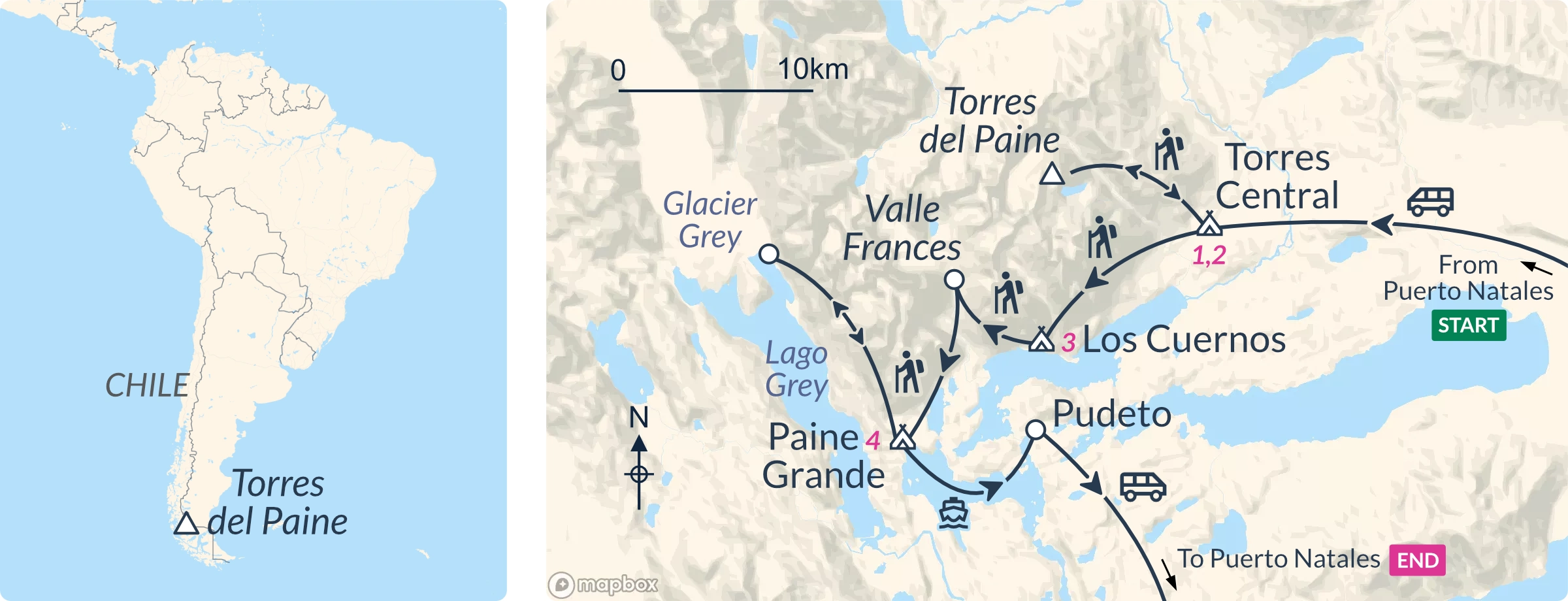
  • Day 1 Day 1: Bus Puerto Natales to park, camping/refugio Central Sector (D)
  • Day 2 Day 2: Tower of Torres del Paine, camping/refugio Central Sector (B,bL,D)
  • Day 3 Day 3: Trek Lake Nordenskjöld, camping/refugio French Sector (B,bL,D)
  • Day 4 Day 4: Trek French Valley to Paine Grande (B,bL,D)
  • Day 5 Day 5: Trek to Grey Glacier, catamaran over Lake Pehoé, bus to Natales, ends (B,bL)

Day 1: Bus Puerto Natales to park, camping/refugio Central Sector (D)

The standard self-guided Paine W trek starts in Puerto Natales at 2.30 pm with a bus from the station to Torres del Paine National Park.

Note: All passengers must collect their Welcome Pack, accommodation, and food vouchers in good time before catching the bus, ideally the night before.

Recommended: Trek Briefing

Add a guided briefing the day before the trek to collect your welcome pack and vouchers. We can also book hotel nights in Puerto Natales before and after the tour.

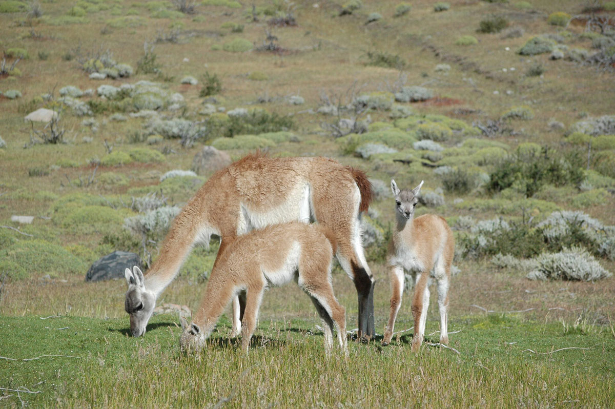
Once aboard the bus, it’s a two-and-a-half-hour bus ride (70 miles/112km) from Puerto Natales to the Central Sector of Torres del Paine National Park. Spot estancias among the pampas and keep an eye out for guanacos and Patagonian ostriches called ñandus.

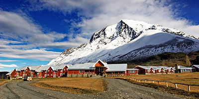
Settle in on arrival or go for a stroll — Patagonian Chile is famous for its long evening light. All evening meals are served in the communal dining rooms of the campsites and mountain hostels.

Bus: 2.5 hours

Walking: Optional

Sleeping options: camping, shared mountain hostel, upgrade to Hotel Las Torres

Day 2: Tower of Torres del Paine, camping/refugio Central Sector (B,bL,D)

Your Torres del Paine W tour starts in earnest today, and with a real highlight.

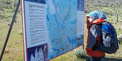
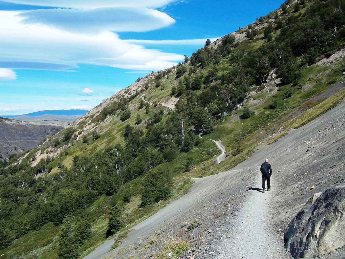
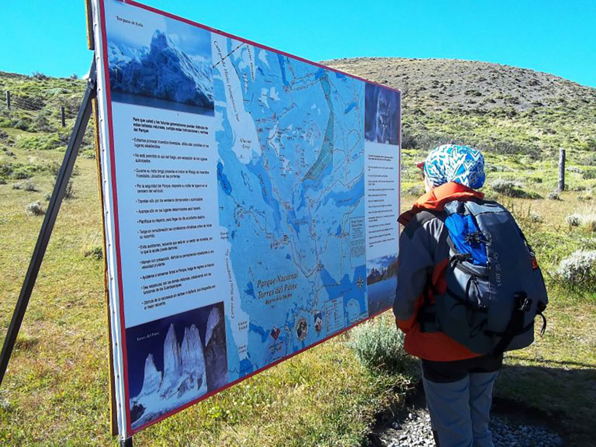
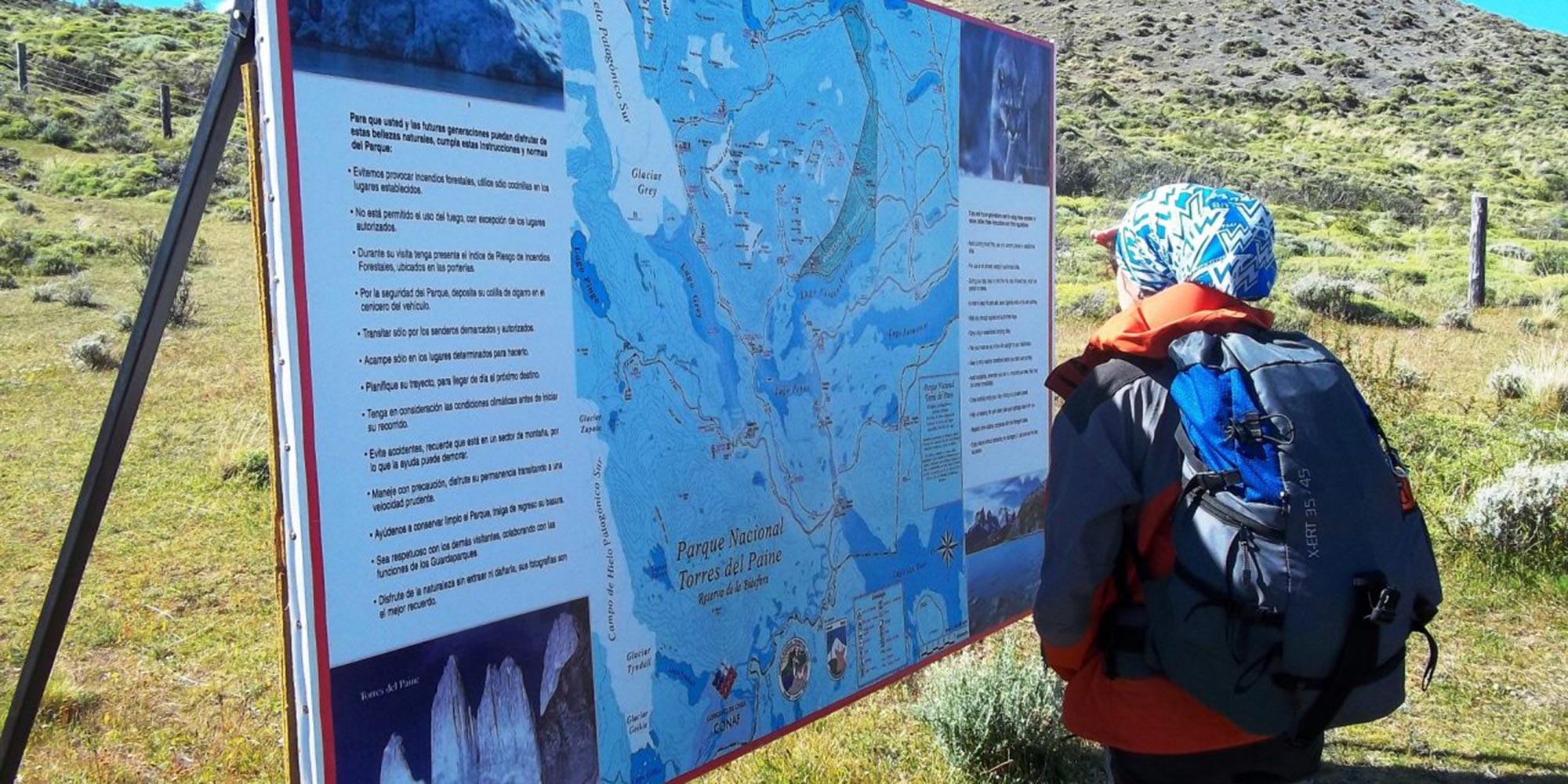
There are trails and signposts to follow, as well as your Paine W trek map to keep you on the right path. The Ascencio River is your first companion and leads you into the Ascencio Valley.

Don’t forget to look around; beech forests and glaciers abound. The name Paine comes from a Tehuelche Indian word meaning blue, and you’ll understand why.

Los Vientos Mountain Pass offers spectacular panoramic views of the surrounding lakes and landscapes. Your path then takes you past the Chileno Refugio, where you can stop for a drink should you wish.

Torres del Paine

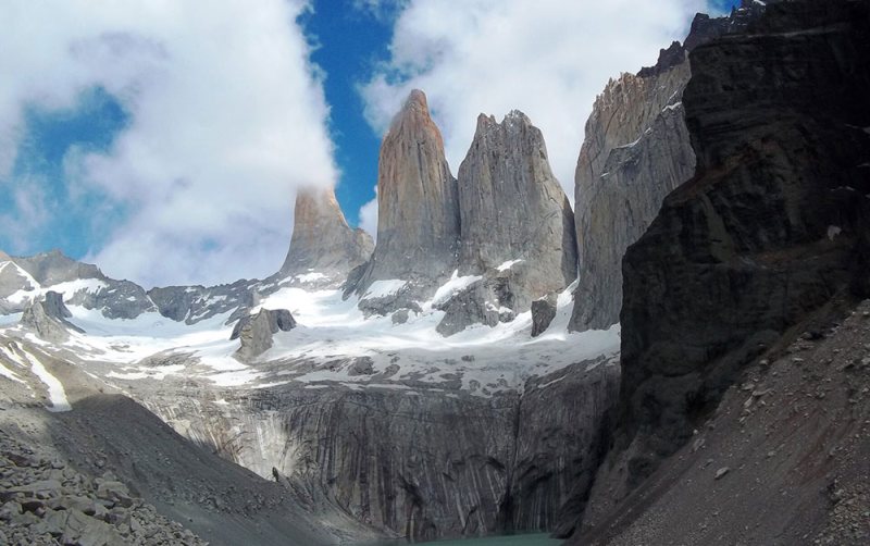
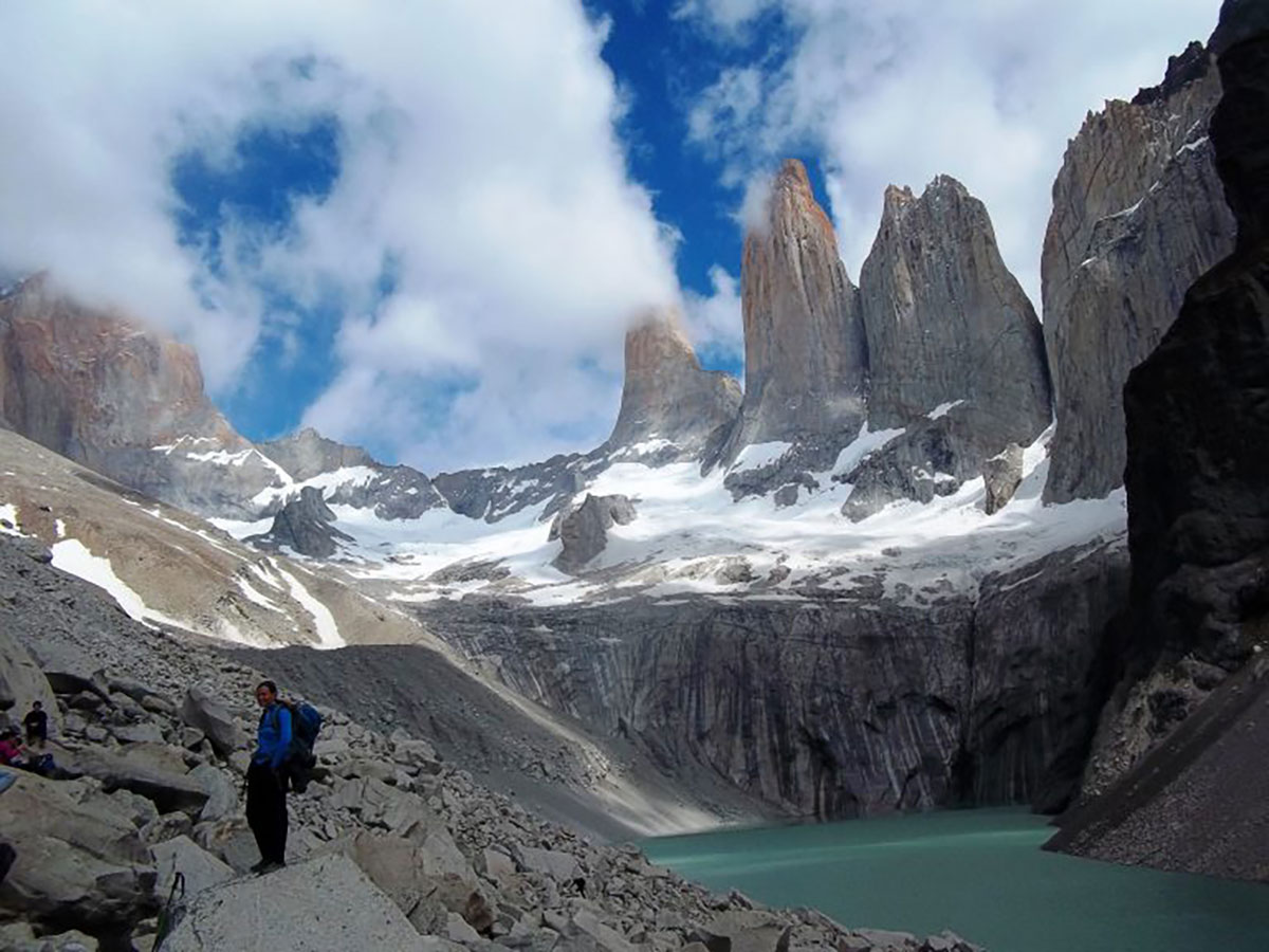
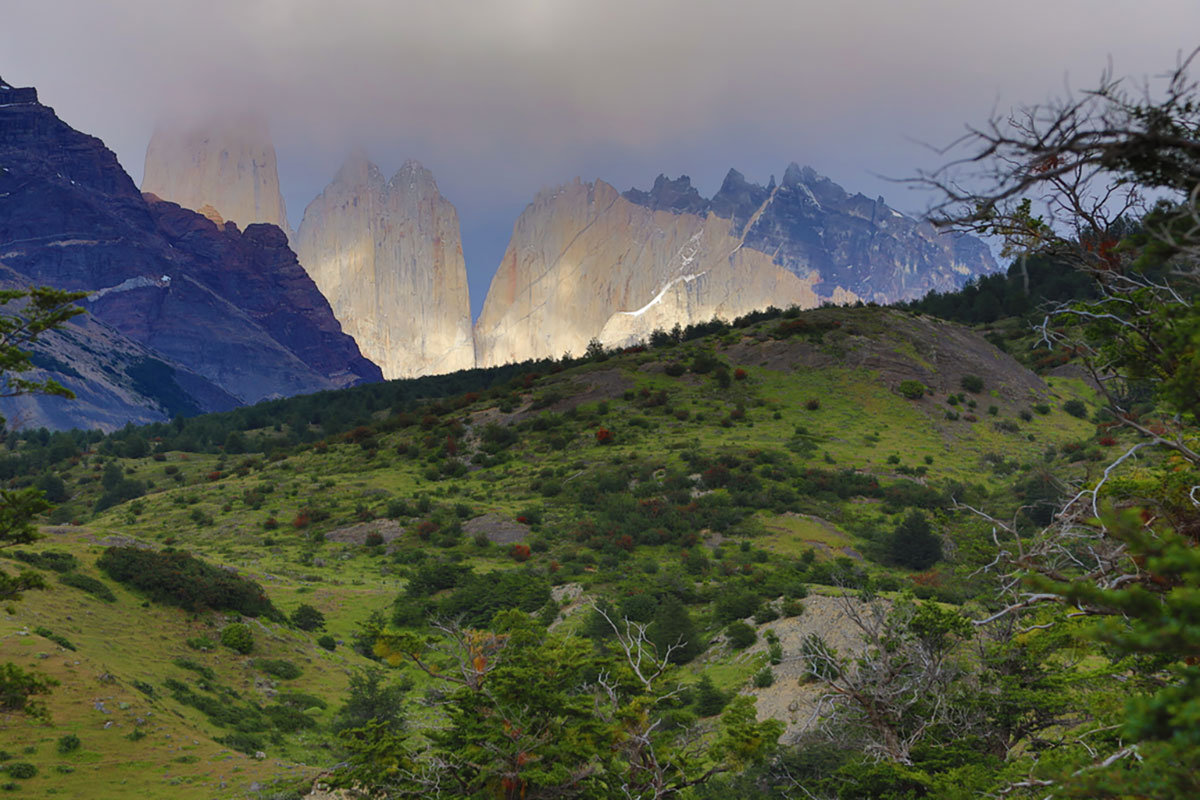
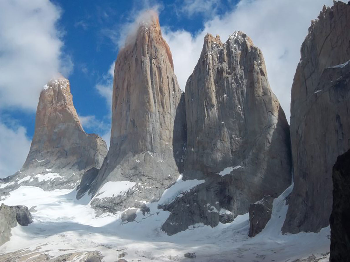
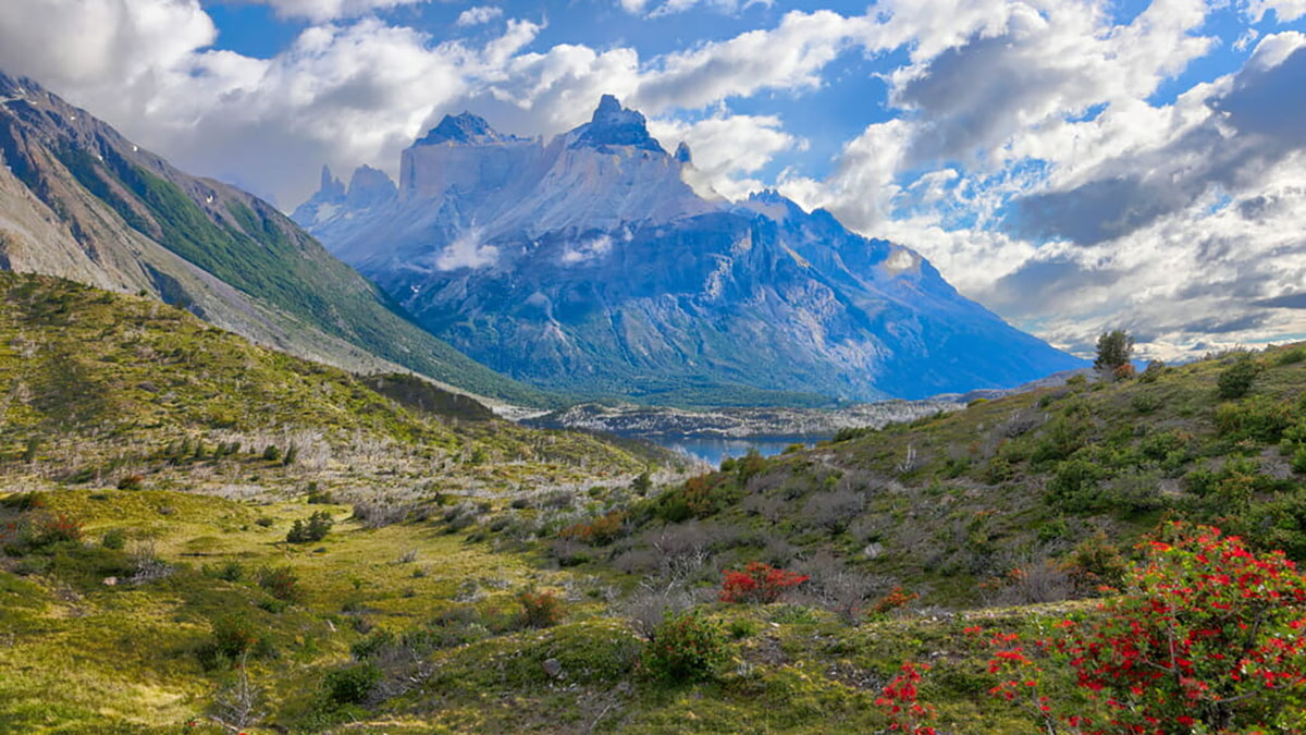
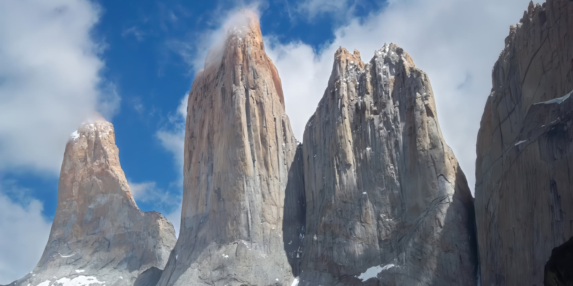
Our trail continues upwards through a native lenga forest that eventually gives to a final challenge; steep and rocky moraine that leads to the base of the Torres del Paine. The Torres – or Towers – are named after three spectacular granite peaks, the highest reaching 2,900m/9,514ft. Its glacial lagoon is inviting to cool the feet after such an ascent and makes a perfect picnic spot.

Retrace your steps to the Central Sector and your campsite/mountain hostel or hotel.

Distance: 12 miles / 19.5km

Walking time: 8-10 hours

Highest altitude: 870m/2,854ft

Difficulty: Medium/hard

Sleeping options: camping, shared mountain hostel, upgrade to hotel

Meals included: Breakfast, boxed lunch, dinner

Day 3: Trek Lake Nordenskjöld, camping/refugio French Sector (B,bL,D)

Today is a shorter day, but no less beautiful for it. As you leave behind the Towers’ day-trippers, there are fewer people from hereon in.

You hug the shores of Lake Nordenskjöld and trek along the base of the magnificent Mount Almirante Nieto and its hanging glaciers. Lake Nordenskjöld’s photogenic turquoise waters are home to many birds, and you may even spot a condor soaring overhead.

Arriero River

The path later follows the Arriero River, an excellent spot to refill water bottles with glacier-fed, fresh running water (we recommend using purifiers). A viewpoint unveils Lake Nordenskjöld in its glory, coupled with unrivalled views of the French Glacier that dangles from Paine Grande Mountain.

Rest at your campsite or mountain hostel deep in Torres del Paine National Park.

Distance: 8.4 miles / 13.5km

Walking time: 5-7 hours

Altitude gained: 200m/656ft

Difficulty: Medium

Sleeping options: camping, shared mountain hostel

Meals included: Breakfast, boxed lunch, dinner

Day 4: Trek French Valley to Paine Grande (B,bL,D)

Prepare for a fantastic and challenging day, having restored your energy with yesterday’s shorter day.

You awake in the peace and quiet of the mountains and enjoy breakfast before setting off for the French Valley. The majestic Los Cuernos mountains stay to your right while you climb through forests, accompanied by the sound of rushing mountain streams.

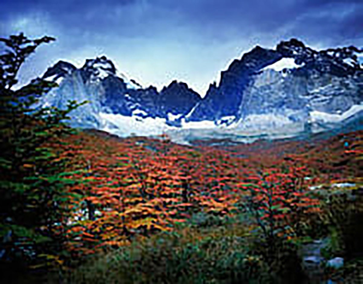
There are some large boulders and moraine to navigate, your efforts rewarded with snow-capped peaks and overhanging glaciers. The forests eventually thin as you approach the French Valley viewpoint.

This lookout is one of the Torres del Paine W trail highlights. Peaks loom from all angles in what feels like an amphitheatre of mountains and ice. You’ll see the park’s highest peak, Paine Grande, plus Mount Catedral, Mount Fortaleza, and many more, including the horns of Los Cuernos. And don’t forget the French Glacier!

You can also see Hoja (Blade), Máscara (Mask), Espada (Sword), Catedral (Cathedral), Aleta de Tiburón (Shark’s Fin) and the magnificent Fortaleza (Fortress).

Lake Nordenskjöld

Your descent is from whence you came, reaching the shores of Lake Nordenskjöld and turning right towards Paine Grande through beech forests. Tonight, you’ll sleep next to a new body of water, Lake Pehoé, at Paine Grande campsite or refugio.

Distance: 12.7 miles / 20.5km

Walking time: 8-10 hours

Highest altitude: 762m/2,500ft

Difficulty: Medium/hard

Sleeping options: camping, shared mountain hostel

Meals included: Breakfast, boxed lunch, dinner

Day 5: Trek to Grey Glacier, catamaran over Lake Pehoé, bus to Natales, ends (B,bL)

Glacier day! Paine Grande (3,050m/10,006ft) is the park’s tallest mountain and stands sentinel on your path during the trail.

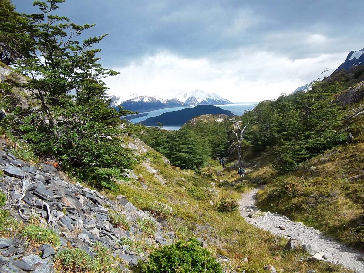
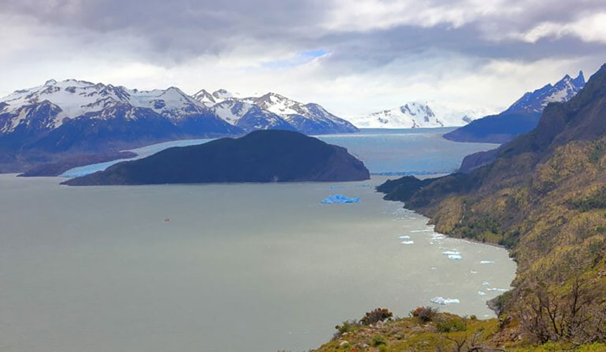
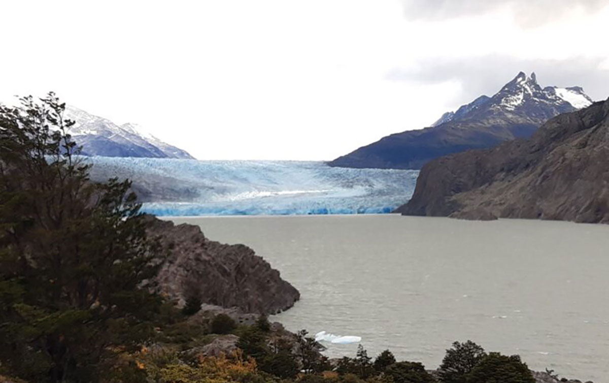
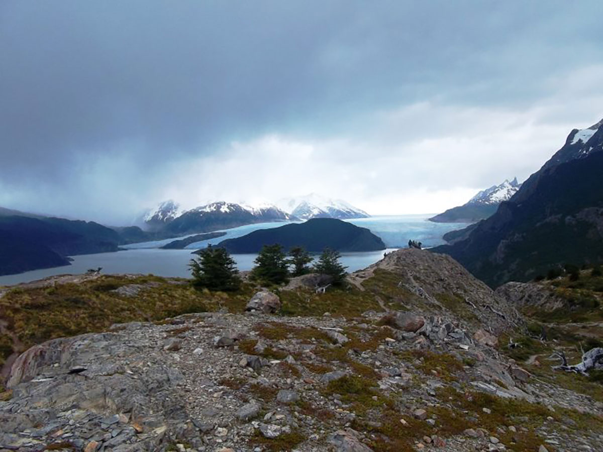
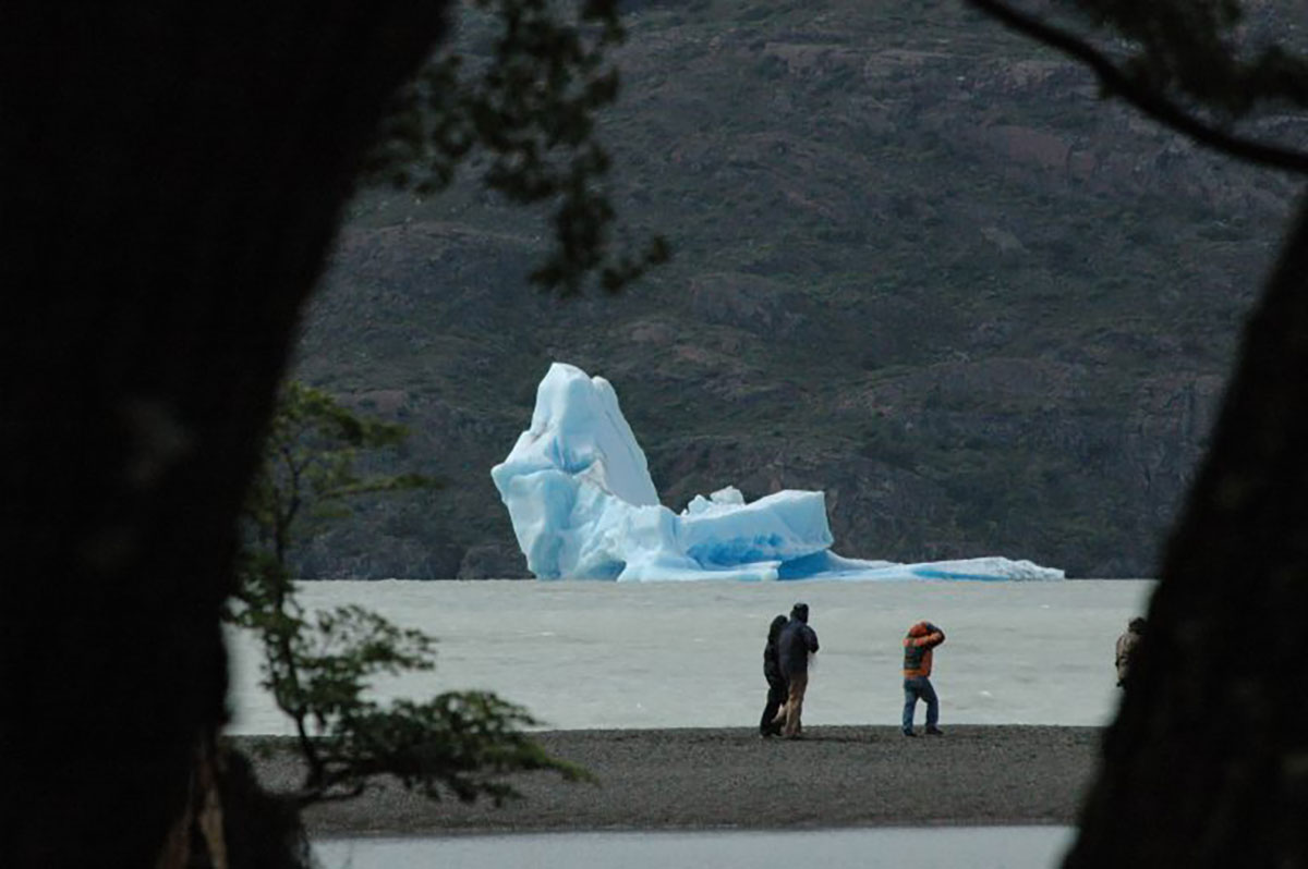
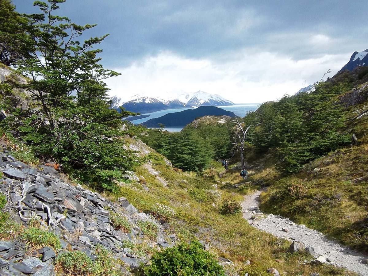
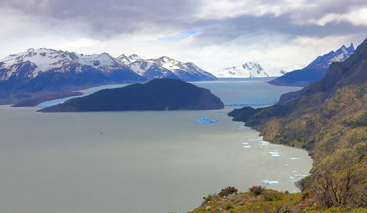
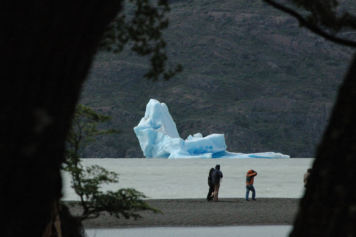
You leave after breakfast and walk on an undulating path through forests and rocky terrain. Lake Grey remains on your left throughout, its waters pocked by icebergs broken from Grey Glacier.

Various viewpoints afford fantastic views of the glacier as you get closer. With luck, you’ll see icebergs calving from the glacier into the waters below. Some spots afford views of the massive Southern Patagonia Ice Field that dominates the local geography.

Lake Pehoé

Choose how close to walk and ensure your timings are accurate because you need to return to Paine Grande Refugio to catch a ferry over Lake Pehoé. The entire walk to the glacier is 13.7 miles/22 km and takes 8-10 hours, depending on your pace.

Catch the catamaran over Lake Pehoé and pick up the bus, which will take you back to Puerto Natales, arriving between 9-10pm.

With the trek complete, you can reflect on a fantastic 5-day Paine W trek.

Note: We can book hotels in Puerto Natales at an extra cost.

Distance: 13.7 miles / 22km

Walking time: 8-10 hours

Highest altitude: 762m/2,500ft

Difficulty: Medium/hard

Sleeping options: we can book a hotel in Puerto Natales at extra cost

Meals included: Breakfast, boxed lunch, dinner

Total Torres del Paine W trek distance: 47 miles / 75.5km

Grey Glacier Option (5 days), Self-Guided

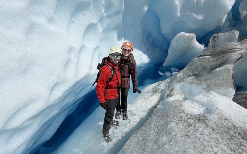
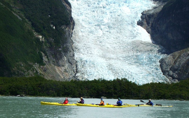
Lowdown: Conquering the Towers early gives extra time at Grey Glacier to explore a network of hanging bridges over the glacier, kayaking in the lake, or trekking atop the glacier.

Overview

  • Day 1 Day 1: AM bus to park, trek to Towers, return to Central Sector, camping/refugio (bL,D)
  • Day 2 Day 2: Cuernos Trail along Lake Nordenskjöld, camping/refugio at Cuernos/French Sector (B,bL,D)
  • Day 3 Day 3: Trek French Valley to Refugio Paine Grande, camping/refugio at Paine Grande (B,bL,D)
  • Day 4 Day 4: Hike to Grey Glacier, free PM or kayak, camping/refugio at Refugio Grey (B,bL,D)
  • Day 5 Day 5: Glacier/Hanging Bridges, hike to Paine Grande, ferry + bus to Puerto Natales (arrive 10pm approx..) (B/bL)

Day 1: AM bus to park, trek to Towers, return to Central Sector, camping/refugio (bL,D)

Approximate walking time: 8-10 hrs

Distance: 12 miles/ 19.5km

Maximum altitude: 870m/2,854ft
Day 2: Cuernos Trail along Lake Nordenskjöld, camping/refugio at Cuernos/French Sector (B,bL,D)

Approximate walking time: 5 hrs

Distance: 7.5 miles / 12 km

Maximum altitude: 244 m / 800 ft

Day 3: Trek French Valley to Refugio Paine Grande, camping/refugio at Paine Grande (B,bL,D)

Approximate walking time: 8-10 hrs

Distance: up to 12.7 miles / 20.5km

Maximum altitude: 762m / 2,500ft

Day 4: Hike to Grey Glacier, free PM or kayak, camping/refugio at Refugio Grey (B,bL,D)

Approximate walking time: 4 hrs

Distance: 6.8 miles / 11km

Maximum altitude: 911m / 2,988ft

Day 5: Glacier/Hanging Bridges, hike to Paine Grande, ferry + bus to Puerto Natales (arrive 10pm approx..) (B/bL)

Approximate walking time: 4 hrs

Distance: 6.8 miles / 11km

Maximum altitude: 762m / 2,500ft

Express Paine W (4 days), Self-Guided

Lowdown: Full trekking days take you to all the highlights in just four days: Towers, Lake Nordenskjöld, French Valley, and Grey Glacier.

Overview

  • Day 1 Day 1: AM bus to park, trek to Towers, return to Central Sector, camping/refugio (bL,D)
  • Day 2 Day 2: Cuernos Trail along Lake Nordenskjöld, camping/refugio at Cuernos/French Sector (B,bL,D)
  • Day 3 Day 3: Trek French Valley to Refugio Paine Grande, camping/refugio at Paine Grande (B,bL,D)
  • Day 4 Day 4: Hike to Grey Glacier, return to Paine Grande, ferry + bus to Puerto Natales (arrive 10pm approx) (B/bL)

Day 1: AM bus to park, trek to Towers, return to Central Sector, camping/refugio (bL,D)

Approximate walking time: 8-10hrs

Distance: 12 miles/ 19.5km

Maximum altitude: 870m/2,854ft
Day 2: Cuernos Trail along Lake Nordenskjöld, camping/refugio at Cuernos/French Sector (B,bL,D)

Approximate walking time: 5 hrs

Distance: 7.5 miles / 12 km

Maximum altitude: 244 m / 800 ft

Day 3: Trek French Valley to Refugio Paine Grande, camping/refugio at Paine Grande (B,bL,D)

Approximate walking time: 8-10 hrs

Distance: up to 12.7 miles / 20.5km

Maximum altitude: 762m / 2,500ft

Day 4: Hike to Grey Glacier, return to Paine Grande, ferry + bus to Puerto Natales (arrive 10pm approx) (B/bL)

Approximate walking time: 8-10 hrs

Distance: Up to 13.7 miles / 22km

Maximum altitude: 911m / 2,988ft

Reversed (5 days), West-to-East, Self-Guided Paine W

Lowdown: All the normal route highlights, but saving the Towers to last, and with a gentler beginning.

Overview

  • Day 1 Day 1: AM bus to park, free time, camping/refugio at Paine Grande (bL,D)
  • Day 2 Day 2: Hike to Grey Glacier, return to camping/refugio at Paine Grande (B/bL/D)
  • Day 3 Day 3: Trek the French Valley to camping/refugio at Frances Domos/Cuernos (B/bL/D)
  • Day 4 Day 4: Walk Cuernos Trail to camping/refugio at Central Sector (B/bL/D)
  • Day 5 Day 5: Trek to Towers, return to Central Sector, bus to Puerto Natales (arrive 10pm approx.) (B,bL)

Day 1: AM bus to park, free time, camping/refugio at Paine Grande (bL,D)

Day 2: Hike to Grey Glacier, return to camping/refugio at Paine Grande (B/bL/D)

Approximate walking time: 8-10 hrs

Distance: Up to 13.7 miles / 22km

Maximum altitude: 911m / 2,988ft

Day 3: Trek the French Valley to camping/refugio at Frances Domos/Cuernos (B/bL/D)

Approximate walking time: 8-10 hrs

Distance: Up to 8.4 miles / 13.5km

Maximum altitude: 762m / 2,500ft

Day 4: Walk Cuernos Trail to camping/refugio at Central Sector (B/bL/D)

Approximate walking time: 6-8 hrs

Distance: Up to 10.2 miles / 16.5km

Maximum altitude: 244 m / 800 ft

Day 5: Trek to Towers, return to Central Sector, bus to Puerto Natales (arrive 10pm approx.) (B,bL)

Approximate walking time: 8-10 hrs

Distance: 12 miles/ 19.5km

Maximum altitude: 870m/2,854ft
For experienced trekkers then the self guided W trek allows you to focus on finding your way and we will take care of all the logistics.
Kathy Jarvis

Dates & Prices

Available dates & prices

From: $1,640

(£1,232)

  • Camping, sharing a pre-set up 2-person tent: USD 1,640pp, single supplement $1,310 applies.
  • Refugios (shared room, 6-8 people): USD 2,070pp, no single available
  • Hotel Las Torres (nights 1+2) and refugios: USD 2,630pp, single supplement $2,100 (hotel only)
  • Season: October to April, daily departures.
  • Christmas Eve and New Year’s Eve dinners incur $50pp surcharge.

What's included?

  • Meals from dinner on day 1 to boxed lunch on day 5,
  • sleeping bag,
  • welcome kit with sleeping bag liner and towel (self-guided only),
  • catamaran crossing of Lake Pehoé,
  • park entry ticket, bus to and from Puerto Natales and Torres del Paine National Park,
  • use of shared bathrooms with hot showers, toilets, and personal locker

Note: You will carry your own belongings in your own backpack – we suggest 15kg max.

CAMPERS: Pre-set-up mountain quality tent, sleeping bag and sleeping mat.

HOSTELS: Comfortable bed in a shared room (6 beds).

HOTEL LAS TORRES: Private room (2 nights) then shared accommodation.

What's not included?

  • International and domestic flights,
  • insurance,
  • personal items,
  • snacks and alcoholic or soft drinks.

Accommodation

Choose between camping, mountain hostels (refugios), and two nights at Hotel Las Torres.

Campers and hostellers have access to the same shared facilities.

  • CAMPERS: Pre-set-up mountain quality tent, sleeping bag and sleeping mat.
  • HOSTELS: Comfortable bed in a shared room (6 beds).
  • HOTEL LAS TORRES: Private room (2 nights) then shared accommodation.

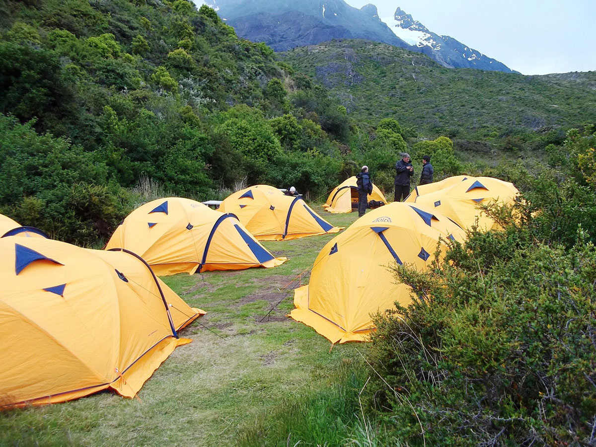
Camping: The tents arranged for this program are typical mountain tents, set up and ready for your arrival, and come with a sleeping bag and mattress.

Hostels: Mountain hostels, known as refugios, feature bunk beds in shared rooms that accommodate up to six other travellers.

Facilities at campsites and mountain hostels (refugios)

Shared bathrooms with toilets and hot showers, shampoo, soap, WiFi, shop/kiosk, restaurant and bar.

This is a moderate to challenging Torres del Paine W trek with some long ascents and descents. The total distance covered is 47 miles / 75.5km over four trekking days.

This is the right trip for energetic people who like to be active and have a spirit of adventure and a positive attitude. To enjoy this trek, it is essential to be in shape before arriving.

It is not wise to regard this trek as a means of getting into shape or losing excess weight. Start a program of conditioning well before departure.

We can cater for almost all dietary requirements – please enquire for more information.

Campers and hostel guests eat breakfasts and dinners in a communal dining hall. Breakfasts usually feature a mix of hot drinks, cereals, fruits and toast with jams.

Hikers receive boxed lunches from the site where they stayed and may feature sandwiches, crackers, snacks, and energy bars (the exact menu depends on the lodge). Dinners vary, too, often featuring pasta or rice dishes.

We recommend trekkers can take extra snacks with them before the hike or purchase items at hostel kiosks

For the self-guided Torres del Paine W trek tour, participants follow mountain trails and routes independently.

You carry your own belongings in your own backpack – we suggest 15kg max.

A joyful biking adventure through Chile’s beautiful lake region, filled with scenic rides and unforgettable hospitality.

Amy C

An inspiring self-guided trekking journey through Chile’s Torres del Paine, filled with breathtaking views, challenge, and wonder.

Pam and Paul

Tour information: Self-Guided Paine W Trek

Our self-guided Paine W trek sees you walk one of the world’s most breathtaking trekking routes in Chile’s Patagonia—the famous Torres del Paine W circuit—without worrying about logistics.

Hike to the dramatic Towers of Paine, explore the stunning French Valley, admire Lake Nordenskjöld, and witness the immense Grey Glacier while we take care of the details.

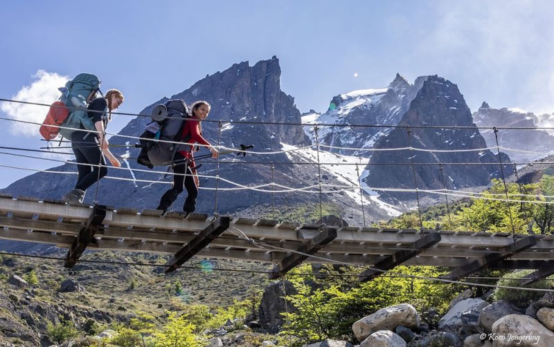
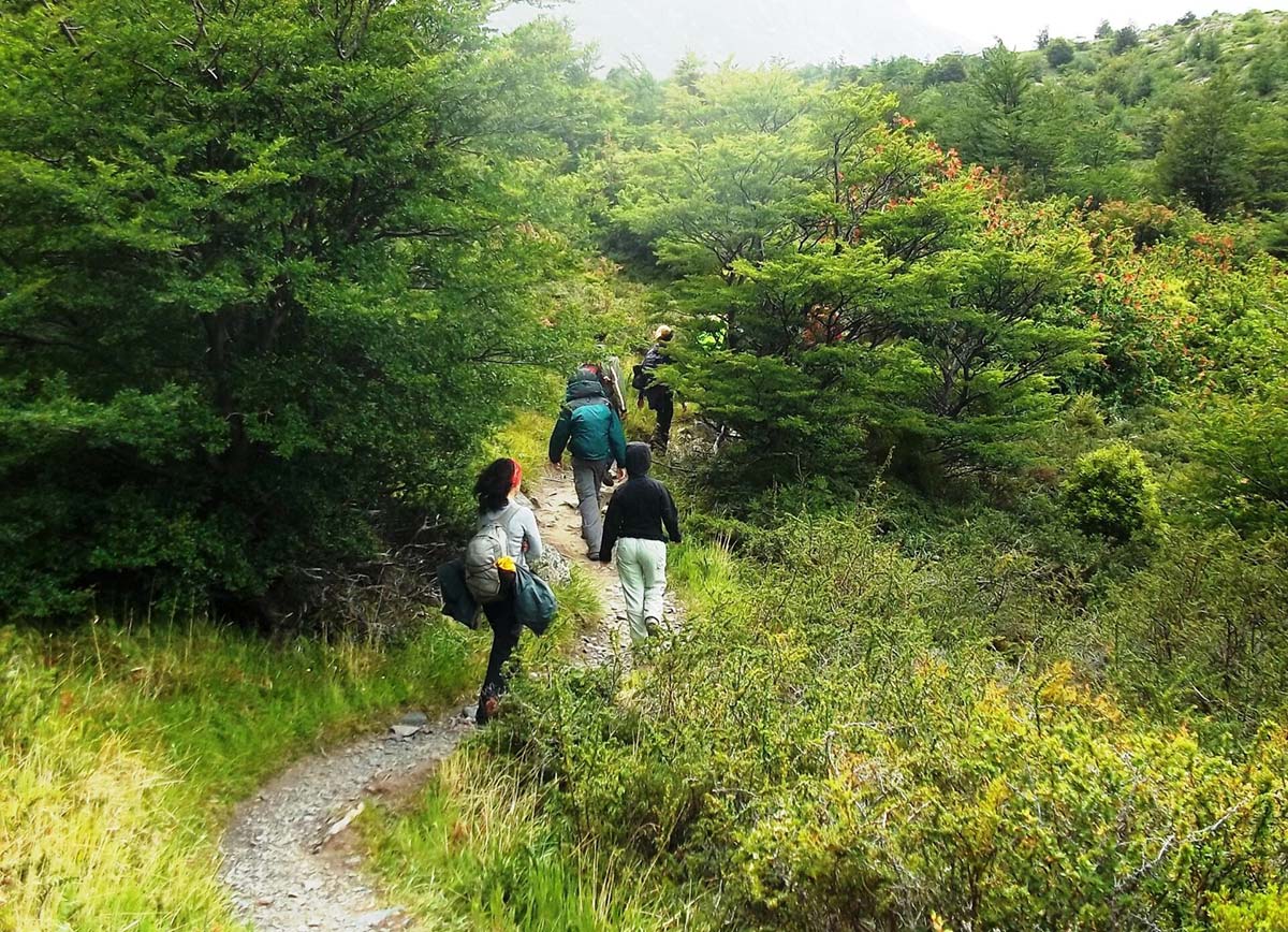
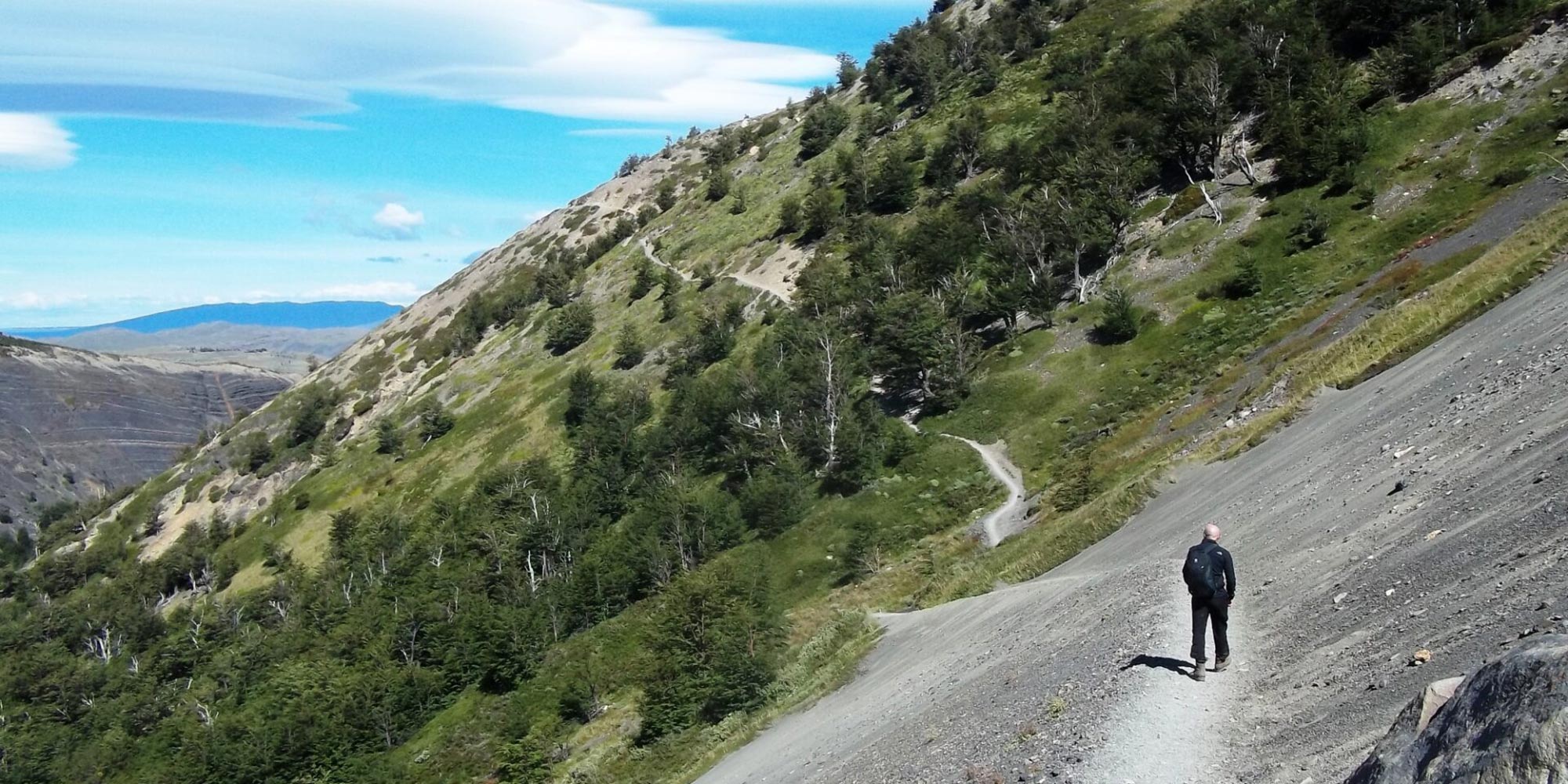
Trekkers at Lake Grey Torres Del Paine Patagonia Chile
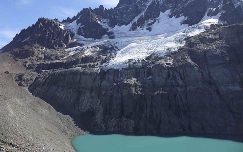
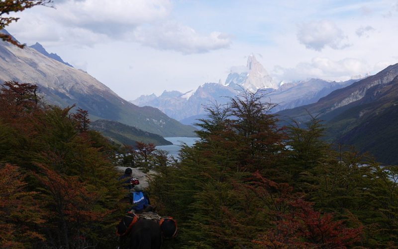
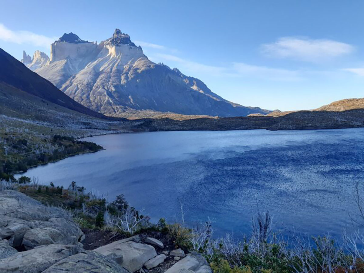
Look around Torres del Paine National Park, Chile, Patagonia
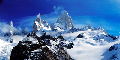
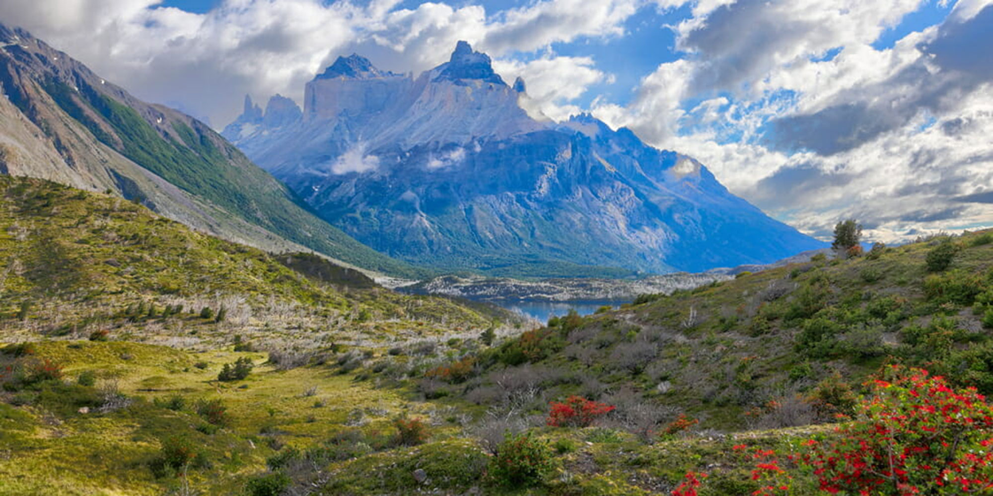
Overview of Torres del Paine National Park, Chile, Patagonia
Base of Paine Towers, Chile

Get in touch and let's create your adventure

Self-Guided Paine W Trek

  • Self-guided Paine W trek through Chilean Patagonia’s iconic Torres del Paine National Park
  • Explore the world-famous Towers of Paine, the stunning French Valley, and the breathtaking Grey Glacier
  • All mountain hostel (Refugio) and campsite bookings arranged for you in advance
  • Carry only your personal gear — with all meals, sleeping arrangements, and logistics fully included
Self-Guided Paine W Trek

From the blog

Similar Tours

Patagonia Self-guided Tour with W Trek

From: $3652 per person

Duration

13 days

trekking icon

Patagonia Highlights Trekking Trip

From: $4719 per person

Duration

15 days

trekking icon

Hotel Las Torres, Paine, Chile

From: $3500 per person

Duration

4 days

icon culture

Practical Information

Geography of Patagonia

Southern Patagonia (latitudes 49° to 55°), encompassing the southern Andes of Chile and Argentina plus Tierra del Fuego, has an altogether more vertical aspect than the rest of Patagonia.

As the continent tapers towards its southern point, the Andes take on new characteristics and offer some truly impressive panoramas.

Much of southern Patagonia is characterized by virgin landscapes where man’s hand has either not been present or, because of the scale of the landscapes, goes almost unnoticed. To the west of the semi-arid Patagonian plateau, mile-high granite spires – e.g. Cerro Torre and Fitzroy in Argentina and the Torres and Cuernos del Paine in Chile – rise abruptly from the Andean foothills, while vast blue glaciers, fringed by southern beech forest, gouge out thevalleys below.

At the heart of these magnificent landscapes lies the South Patagonian Ice Field, an utterly remote icy wilderness spanning hundreds of kilometers, whose glaciers – including the Perito Moreno and Upsala – are tens of kilometres long by severalkilometers wide.

Also characteristic of the southern Patagonian Andes are its turquoise, iceberg-filled lakes. To the west lies the southern portion of the Chilean Archipelago, comprising snow-capped islands and fjords.

Across the Magellan Straits from mainland Patagonia lies Tierra del Fuego which, like the rest of Patagonia, is divided between Argentina and Chile.

The north and east of Tierra del Fuego is flat, but flanking the Beagle Channel in the south, the tail end of the Andes provide very dramatic mountain scenery.

The Lake District (latitudes 40° to 45°) or the Araucania, is a region of dramatic conical volcanoes, evergreen, high-canopy forests and, of course, lakes.

It straddles the Chile-Argentine border, and also takes in Chiloe island, in the extreme north of the Chilean Archipelago. This region stretches from Temuco in the north to Chiloe in the south.

Central Patagonia (latitudes 45 to 49) is one of South America’s best-kept secrets. The vast wilderness area can be divided in two:

  • The dry band of Andean foothills and wind-blown plateau lying on the Argentine side of the Andes. This remote area is traversed north to south by a gravel highway known as the Ruta Cuarenta (Highway 40).
  • The Chilean portion to the west of the Andean watershed, often referred to as the Careterra Austral (after the little-used gravel highway that crosses it from north to south).

This huge region, embracing the sparsely-inhabited southern Araucaria and Aisén Region, features temperate rainforests, snow-peaks (often extinct volcanoes), lakes and, to the west, the Chilean Archipelago: a labyrinth of fjords and mountain-islands. This, the Chilean portion of central Patagonia, boasts the northernmost of Patagonia’s many giant, sea-level glaciers.

The San Raphael Glacier, probably this region’s most famous landmark, is an immense hanging glacier whose seracs calve into an iceberg-filled lagoon.

Find out more about Patagonia with our blog about its wildlife.

Introduction to Patagonia

For most people, Patagonia evokes a vast, windblown plateau, jagged mountains and the life of the gauchos.

The steppe that occupies much of southern South America is only one aspect of a magical region, jam-packed with amazing and contrasting landscapes.

Patagonia (latitudes 40°-55°, approximately) embraces a vast portion of southern Chile and Argentina, from the Rio Colorado in the north, to Tierra del Fuego in the south.

For convenience, we have divided the region into three zones: the Lakes District of northern Patagonian, central Patagonia and southern Patagonia.

Kit list

Be nice to your feet! Make sure hiking boots are broken-in. Bring moleskin, Second Skin (or similar) for fast foot treatment and blister prevention.

If you are bringing a camera, include plenty of film or digital cards with enough megabytes for hundreds of pictures and spare batteries. Please note, film and digital cards are difficult to find and often expensive to buy in Patagonia.

When planning for the varied climatic conditions encountered in Paine, layering is the most practical and versatile clothing system. It’s worth remembering that our clothing keeps us warm by retaining and isolating the heat we ourselves create, and that you carry all your own kit around Paine.

We suggest you leave all other luggage in Puerto Natales hotel and just take the minimum. Stuff sacks are great for sorting your gear. Use different sizes and colours to differentiate the contents in your duffel bag/backpack.

Typically, you will need a spare set of clothes, a water-bottle, fleece or wind stopper jacket, rain jacket & trousers, your camera and wash kit. Keep it light.

Layering

To best maintain body heat, several layers of lightweight, warm and quick-drying clothing are far more efficient than one or two thick layers. Layers should have the following qualities:

  1. Breathability (able to wick away the humidity produced by sweat):
  2. Isolation (able to keep in the warm air our body produces); and
  3. Impermeability (able to impede the passing of wind and water).

First (base) layer: This layer wicks the sweat away from our skin, thus helping keep the body dry and warm. To this end, synthetic fabrics such as polypropylene should be used.

Mid layers: These isolating layers should also be synthetic (e.g. the known polar linings such as polartec or windblock, which are light and insulate twice as well as wool). Very important layers for retaining body heat.

Outer layer / shell: Finally, the vital layer which protects us from climatic adversities. A breathable, wind-proof and waterproof anorak, such as Goretex.

Suggested kit list

  • Synthetic inner socks (e.g., polypropylene, thermastat, coolmax) and 2 pairs thick loop-stitch/wool socks for cold.
  • Trekking boots – should be well broken-in, waterproof and provide good ankle support.
  • Trainers/sandals for evenings & river crossings.
  • Base layer leggings
  • Goretex-type over-trousers
  • Trekking trousers
  • Shorts if you prefer, or zip off trousers
  • Thermal base layer shirt
  • Microfleece mid-layer shirt
  • Shirt/t-shirts
  • Fleece jacket or similar
  • Warm jacket (down or synthetic)
  • Waterproof Goretex-type jacket.
  • Broad-brimmed sunhat, essential.
  • Warm hat, fleece or wool. (N.B. Up to 30% of body heat can be lost through the head).
  • Sunglasses with UV filter.
  • Bandanna – to protect neck from strong sun and against cold if needed
  • Gloves
  • Daypack (approx. 30-50 litres). Comfortable and with waterproof lining or cover.
  • Pair of telescopic trekking poles if you like using (can be rented)
  • Water bottle (2 litres approx.)
  • Personal first-aid kit to include: painkillers, plasters (band-aids), moleskin, anti-biotic cream, anti-diarrhoea tablets, throat lozenges, re-hydration salts & personal medication.
  • Insect repellent.
  • Towel & wash-kit.
  • Wet Wipes/antiseptic hand-wash cream.
  • Sunscreen (factor 30+) and lip salve.
  • Head-lamp (plus spare bulb and batteries).
  • Penknife.
  • Plastic bags – ‘Zip-loc’ & tough bin liners.
  • Camera and film / memory cards (take at least twice the amount you think you will need!).
  • Book, e-book, mp3 player/iPod or other to help pass the time
  • Binoculars.

Miscellaneous others

  • Money belt.
  • Passport.
  • U.S. dollars cash, mixed-denomination notes, undamaged and unmarked, or local currency
  • ATM cash/credit card.
  • Personal & medical insurance certificates.
Quick facts about Patagonia

Chile

  • Official name: Republic of Chile
  • Country population: 17,000,000
  • Capital city: Santiago (6 million)
  • Largest cities: Santiago, Concepcion, Valparaiso
  • Languages: Spanish (official)
  • Official currency: Chilean Peso
  • Major industries: Copper mining, agriculture, fish
  • Time zone: GMT-5 in winter (Mar-Sep) and GMT-4 in summer (Sep-Mar)

Argentina

  • Official name: Argentine Republic Country
  • Population: 40,000,000
  • Capital city: Buenos Aires (11 million)
  • Largest cities: Buenos Aires, Cordoba, Rosario
  • Languages: Spanish (official)
  • Official currency: Argentine Peso
  • Major industries: Agriculture (Soy), motor vehicles, chemicals
  • Argentina: GMT-3
Vaccinations for Patagonia

We strongly suggest that everyone planning to travel to Patagonia visits their local doctor/travel clinic prior to departure for the latest vaccination information.

Recommended vaccinations

  • Up-to-date diphtheria and polio.
  • Tetanus or tetanus booster. (These three are effective for ten years.)
  • ‘Havrix’ for Hepatitis A. The course of two injections protects you for ten years. Gamma globulin is cheaper butless effective.
  • Typhoid vaccine is recommended by some doctors although it will not provide total protection and being careful about what you eat and drink is your best defence. It is given in two shots, four weeks apart and lasts for three years. Unless at exceptional risk, people over the age of 35 who have received four or more courses of typhoid immunisation need no more.
  • A pre-exposure rabies vaccination is worth considering if you are going to be in contact with animals or morethan 24 hours away from a reliable source of vaccine. Hikers are at some risk from rural dogs, certain of which carry rabies, and those visiting coastal or rainforest areas could be exposed to rabid bats.
  • Malaria is not a risk in Patagonia.

A joyful biking adventure through Chile’s beautiful lake region, filled with scenic rides and unforgettable hospitality.

Amy C

An inspiring self-guided trekking journey through Chile’s Torres del Paine, filled with breathtaking views, challenge, and wonder.

Pam and Paul